Estimated Value: $374,000 - $505,000
1
Bed
1
Bath
1,331
Sq Ft
$315/Sq Ft
Est. Value
About This Home
This home is located at 80 Range Rd, Alton, NH 03809 and is currently estimated at $419,687, approximately $315 per square foot. 80 Range Rd is a home with nearby schools including Alton Central School (Elem) and Prospect Mountain High School.
Create a Home Valuation Report for This Property
The Home Valuation Report is an in-depth analysis detailing your home's value as well as a comparison with similar homes in the area
Home Values in the Area
Average Home Value in this Area
Tax History
| Year | Tax Paid | Tax Assessment Tax Assessment Total Assessment is a certain percentage of the fair market value that is determined by local assessors to be the total taxable value of land and additions on the property. | Land | Improvement |
|---|---|---|---|---|
| 2024 | $2,867 | $220,900 | $96,400 | $124,500 |
| 2022 | $2,512 | $220,900 | $96,400 | $124,500 |
| 2021 | $2,514 | $220,900 | $96,400 | $124,500 |
| 2020 | $2,839 | $203,500 | $74,600 | $128,900 |
| 2019 | $2,546 | $203,500 | $74,600 | $128,900 |
| 2018 | $2,847 | $203,500 | $74,600 | $128,900 |
| 2017 | $2,617 | $203,500 | $74,600 | $128,900 |
| 2016 | $2,560 | $180,900 | $71,500 | $109,400 |
| 2015 | $2,566 | $179,800 | $71,500 | $108,300 |
| 2014 | $2,511 | $181,300 | $71,500 | $109,800 |
| 2013 | $2,269 | $168,800 | $56,700 | $112,100 |
Source: Public Records
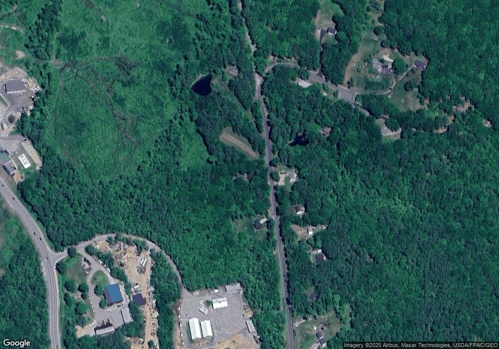
Map
Nearby Homes
- Lot 17 Baxter
- 6 Suncook Valley Rd
- 27 Barnes Ave
- 00 Marsha Unit 43
- Lot 60 Scott Dr
- 214 Main St
- 12 Baxter Place
- 173 Suncook Valley Rd
- 221 New Durham Rd
- 6 Viewland Ct Unit 17
- 6 Viewland Ct Unit 26
- 00 Suncook Valley Rd Unit 13
- 70 Osprey Rd
- 93 Osprey Rd
- 23 Eagles Way
- 102 Osprey Rd
- 350 Heron Point Rd
- 53 Rand Hill Rd
- 409 Powder Mill Rd
- 195 E Side Dr
Your Personal Tour Guide
Ask me questions while you tour the home.