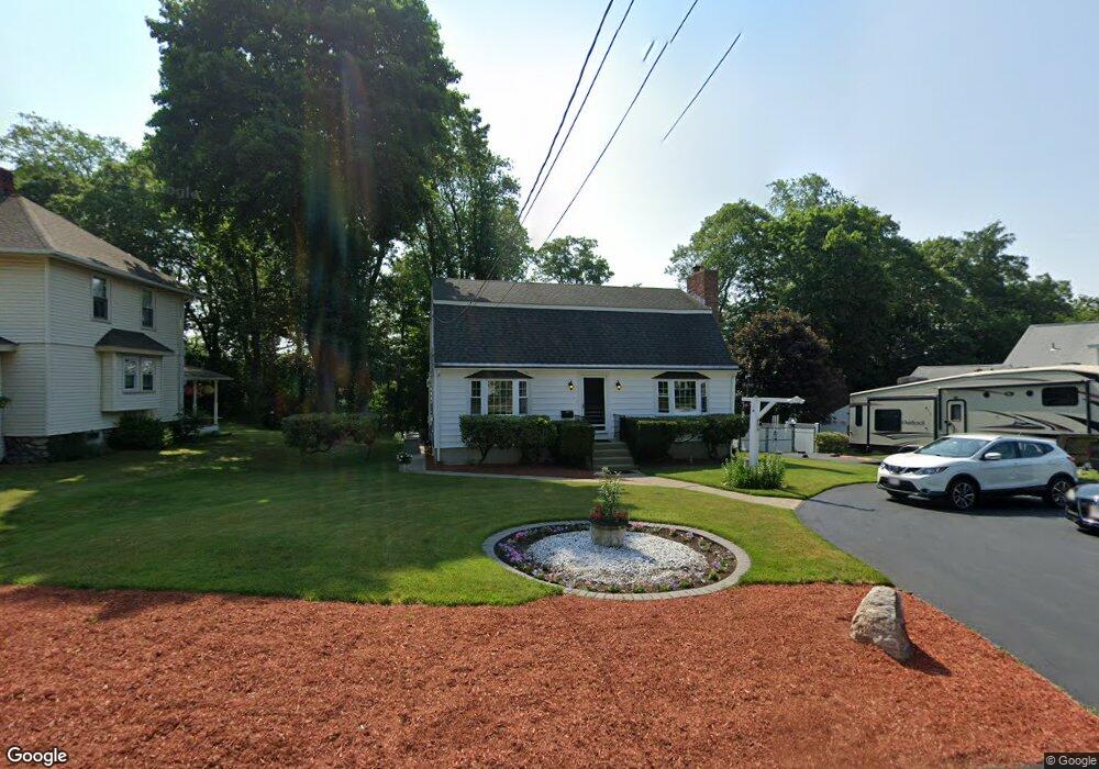
80 Rockland Rd Auburn, MA 01501
Stoneville NeighborhoodEstimated Value: $515,000 - $571,000
3
Beds
2
Baths
2,016
Sq Ft
$267/Sq Ft
Est. Value
About This Home
This home is located at 80 Rockland Rd, Auburn, MA 01501 and is currently estimated at $538,371, approximately $267 per square foot. 80 Rockland Rd is a home located in Worcester County with nearby schools including Auburn Senior High School and Shrewsbury Montessori School - Auburn Campus.
Ownership History
Date
Name
Owned For
Owner Type
Purchase Details
Closed on
Mar 31, 2005
Sold by
Looney-Connole Annemarie
Bought by
Frascolla John and Doiron Lisa
Current Estimated Value
Home Financials for this Owner
Home Financials are based on the most recent Mortgage that was taken out on this home.
Original Mortgage
$240,000
Outstanding Balance
$122,480
Interest Rate
5.61%
Mortgage Type
Purchase Money Mortgage
Estimated Equity
$415,891
Create a Home Valuation Report for This Property
The Home Valuation Report is an in-depth analysis detailing your home's value as well as a comparison with similar homes in the area
Home Values in the Area
Average Home Value in this Area
Purchase History
| Date | Buyer | Sale Price | Title Company |
|---|---|---|---|
| Frascolla John | $300,000 | -- |
Source: Public Records
Mortgage History
| Date | Status | Borrower | Loan Amount |
|---|---|---|---|
| Open | Frascolla John | $240,000 |
Source: Public Records
Tax History Compared to Growth
Tax History
| Year | Tax Paid | Tax Assessment Tax Assessment Total Assessment is a certain percentage of the fair market value that is determined by local assessors to be the total taxable value of land and additions on the property. | Land | Improvement |
|---|---|---|---|---|
| 2025 | $66 | $463,500 | $128,000 | $335,500 |
| 2024 | $6,908 | $462,700 | $122,800 | $339,900 |
| 2023 | $6,582 | $414,500 | $111,700 | $302,800 |
| 2022 | $6,077 | $361,300 | $111,700 | $249,600 |
| 2021 | $9,688 | $318,700 | $98,600 | $220,100 |
| 2020 | $5,730 | $318,700 | $98,600 | $220,100 |
| 2019 | $5,462 | $296,500 | $97,700 | $198,800 |
| 2018 | $2,072 | $287,500 | $91,400 | $196,100 |
| 2017 | $4,688 | $255,600 | $82,900 | $172,700 |
| 2016 | $4,617 | $255,200 | $85,900 | $169,300 |
| 2015 | $4,258 | $246,700 | $85,900 | $160,800 |
| 2014 | $4,096 | $236,900 | $81,800 | $155,100 |
Source: Public Records
Map
Nearby Homes
- 25 Vinal St Unit 26
- 25 Vinal St Unit 29
- 25 Vinal St Unit 30
- 5 Commonwealth Ave
- 34 Rockland Rd
- 8 Shirley St
- 177 Boyce St
- 177 Oxford St N
- 33 Walsh Ave
- 31-33 Walsh Ave
- 31 Walsh Ave
- 7 Carroll St
- 20 Alpine Trail
- 35 Pinehurst Ave
- 19-20 Williams St
- 19 Forest Dr
- 4 S Edlin St
- 16 Dixon Ave
- 326 Pakachoag St
- 52 Harrison Ave
- 78 Rockland Rd
- 84 Rockland Rd
- 76 Rockland Rd
- 86 Rockland Rd
- 74 Rockland Rd
- 79 Rockland Rd
- 81 Rockland Rd
- 90 Rockland Rd
- 72 Rockland Rd
- 4 Rockland Road Ct
- 1 Rockland Road Ct
- 85 Rockland Rd
- 70 Rockland Rd
- 71 Rockland Rd
- 92 Rockland Rd
- 8 Rockland Road Ct
- 68 Rockland Rd
- 69 Rockland Rd
- 93 Rockland Rd
- 5 Rockland Road Ct