80 Rocky Point Rd Wakefield, NH 03872
Estimated Value: $532,000 - $940,000
4
Beds
2
Baths
1,380
Sq Ft
$577/Sq Ft
Est. Value
About This Home
This home is located at 80 Rocky Point Rd, Wakefield, NH 03872 and is currently estimated at $796,747, approximately $577 per square foot. 80 Rocky Point Rd is a home located in Carroll County with nearby schools including Paul Elementary School.
Ownership History
Date
Name
Owned For
Owner Type
Purchase Details
Closed on
Mar 7, 2025
Sold by
Malone Ft and Malone
Bought by
Kalter Megan E and Kalter Howard L
Current Estimated Value
Purchase Details
Closed on
Dec 29, 2003
Sold by
Lovell Rt
Bought by
Dyment William
Home Financials for this Owner
Home Financials are based on the most recent Mortgage that was taken out on this home.
Original Mortgage
$303,200
Interest Rate
6.01%
Mortgage Type
Purchase Money Mortgage
Create a Home Valuation Report for This Property
The Home Valuation Report is an in-depth analysis detailing your home's value as well as a comparison with similar homes in the area
Home Values in the Area
Average Home Value in this Area
Purchase History
| Date | Buyer | Sale Price | Title Company |
|---|---|---|---|
| Kalter Megan E | $525,000 | None Available | |
| Kalter Megan E | $525,000 | None Available | |
| Dyment William | $379,000 | -- | |
| Dyment William | $379,000 | -- |
Source: Public Records
Mortgage History
| Date | Status | Borrower | Loan Amount |
|---|---|---|---|
| Previous Owner | Dyment William | $200,000 | |
| Previous Owner | Dyment William | $303,200 |
Source: Public Records
Tax History Compared to Growth
Tax History
| Year | Tax Paid | Tax Assessment Tax Assessment Total Assessment is a certain percentage of the fair market value that is determined by local assessors to be the total taxable value of land and additions on the property. | Land | Improvement |
|---|---|---|---|---|
| 2024 | $6,196 | $823,900 | $594,000 | $229,900 |
| 2023 | $5,644 | $823,900 | $594,000 | $229,900 |
| 2022 | $5,573 | $454,900 | $309,500 | $145,400 |
| 2021 | $5,613 | $454,900 | $309,500 | $145,400 |
| 2020 | $5,602 | $452,500 | $309,500 | $143,000 |
| 2019 | $5,643 | $452,500 | $309,500 | $143,000 |
| 2018 | $5,095 | $452,500 | $309,500 | $143,000 |
| 2017 | $4,901 | $387,400 | $281,300 | $106,100 |
| 2016 | $5,016 | $387,600 | $281,300 | $106,300 |
| 2015 | $5,062 | $387,600 | $281,300 | $106,300 |
| 2014 | $4,816 | $378,000 | $271,700 | $106,300 |
| 2013 | $4,642 | $378,000 | $271,700 | $106,300 |
Source: Public Records
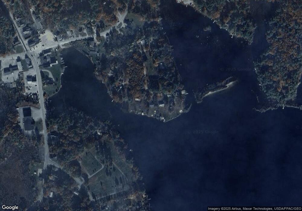
Map
Nearby Homes
- 84 School St
- 131 Meadow St
- 23 Mountain View Terrace
- 13 Mountain View Dr
- 419 Lovell Lake Rd
- 887 Lovell Lake Rd
- 915 Lovell Lake Rd
- 1108 Witchtrot Rd
- 26 Hilltop Dr
- 790 Canal Rd
- 220 Governors Rd
- 266 Access Rd
- 156 Access Rd
- 256 Governors Rd
- 7 Garney Rd
- 251 Wentworth Rd
- 169 Whippoorwill Rd
- 76 Moose Mountain Rd
- lot 15 Access Rd
- lot 14 Access Rd
- 74 Rocky Point Rd
- 82 Rocky Point Rd
- 5 Wayside Rd
- 88 Rocky Point Rd
- 13 Wayside Rd
- 90 Rocky Point Rd
- 27 Wayside Rd
- 57 Rocky Point Rd
- 35 Wayside Rd
- 35 Wayside Dr
- 25 Rocky Point Rd
- 43 Cemetery Rd
- 33 Rocky Point Rd
- 35 Cemetery Rd
- 4 Rocky Point Rd
- 72 Witchtrot Rd
- 72 Witchtrot Rd
- 62 Witchtrot Rd
- 63 Witchtrot Rd
- 93 Witchtrot Rd