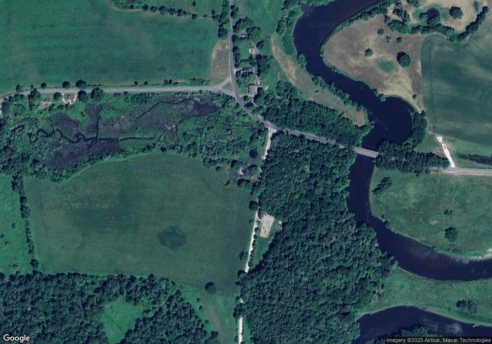
80 Weatogue Rd Sheffield, MA 01257
Estimated Value: $582,149 - $724,000
4
Beds
2
Baths
1,996
Sq Ft
$341/Sq Ft
Est. Value
About This Home
This home is located at 80 Weatogue Rd, Sheffield, MA 01257 and is currently estimated at $680,537, approximately $340 per square foot. 80 Weatogue Rd is a home with nearby schools including Mt. Everett High School.
Ownership History
Date
Name
Owned For
Owner Type
Purchase Details
Closed on
Feb 10, 2025
Sold by
Roeder Donald R
Bought by
Roeder Donald R and Roeder Susan W
Current Estimated Value
Purchase Details
Closed on
Apr 2, 2015
Sold by
Downie John R
Bought by
Roeder Donald R
Home Financials for this Owner
Home Financials are based on the most recent Mortgage that was taken out on this home.
Original Mortgage
$276,000
Interest Rate
3%
Mortgage Type
New Conventional
Create a Home Valuation Report for This Property
The Home Valuation Report is an in-depth analysis detailing your home's value as well as a comparison with similar homes in the area
Home Values in the Area
Average Home Value in this Area
Purchase History
| Date | Buyer | Sale Price | Title Company |
|---|---|---|---|
| Roeder Donald R | -- | None Available | |
| Roeder Donald R | -- | None Available | |
| Roeder Donald R | $345,000 | -- | |
| Roeder Donald R | $345,000 | -- |
Source: Public Records
Mortgage History
| Date | Status | Borrower | Loan Amount |
|---|---|---|---|
| Previous Owner | Roeder Donald R | $276,000 |
Source: Public Records
Tax History Compared to Growth
Tax History
| Year | Tax Paid | Tax Assessment Tax Assessment Total Assessment is a certain percentage of the fair market value that is determined by local assessors to be the total taxable value of land and additions on the property. | Land | Improvement |
|---|---|---|---|---|
| 2025 | $5,873 | $485,000 | $69,400 | $415,600 |
| 2024 | $5,699 | $485,000 | $69,400 | $415,600 |
| 2023 | $5,205 | $485,000 | $69,400 | $415,600 |
| 2022 | $5,205 | $418,400 | $69,400 | $349,000 |
| 2021 | $5,149 | $371,000 | $65,400 | $305,600 |
| 2020 | $5,046 | $360,400 | $65,400 | $295,000 |
| 2019 | $5,120 | $330,300 | $56,800 | $273,500 |
| 2018 | $4,869 | $330,300 | $56,800 | $273,500 |
| 2017 | $4,849 | $330,300 | $56,800 | $273,500 |
| 2016 | $3,304 | $230,400 | $76,100 | $154,300 |
| 2015 | $3,338 | $230,400 | $76,100 | $154,300 |
Source: Public Records
Map
Nearby Homes
- 1166 Rannapo Rd
- 1180 Ashley Falls Rd Unit A,B,C,D,E
- 153 E Main St
- 1669 Silver St
- 1460 Ashley Falls Rd
- 353 Twin Lakes Rd
- 856 Barnum St
- 277 Ashley Falls Rd
- 77 Clayton Rd
- 41 Prospect St
- 1427 Hewins St
- 182 Church St
- 36 Furnace Brook Rd
- 33 Granite Ave
- 91 Main St
- 26 Granite Ave
- 730 Clayton Rd
- 72 N Elm St Unit 2E
- 649 Hewins St
- 0 Amory Ln
- 80 Weatogue Rd
- 795 Rannapo Rd
- 716 Rannapo Rd
- 689 Rannapo Rd
- 674 Rannapo Rd
- 635 Rannapo Rd
- 238 Cooper Hill Rd
- 398 Weatogue Rd
- 398 Weatogue
- 158 Cooper Hill Rd
- 314 Cooper Hill Rd
- 514 Rannapo Rd
- 940 Ashley Falls R
- 1193 Rannapo Rd
- 906 Ashley Falls R
- 906 Ashley Falls Rd
- 729 Ashley Falls R
- 1219 Rannapo Rd
- 1144 Ashley Falls Rd
