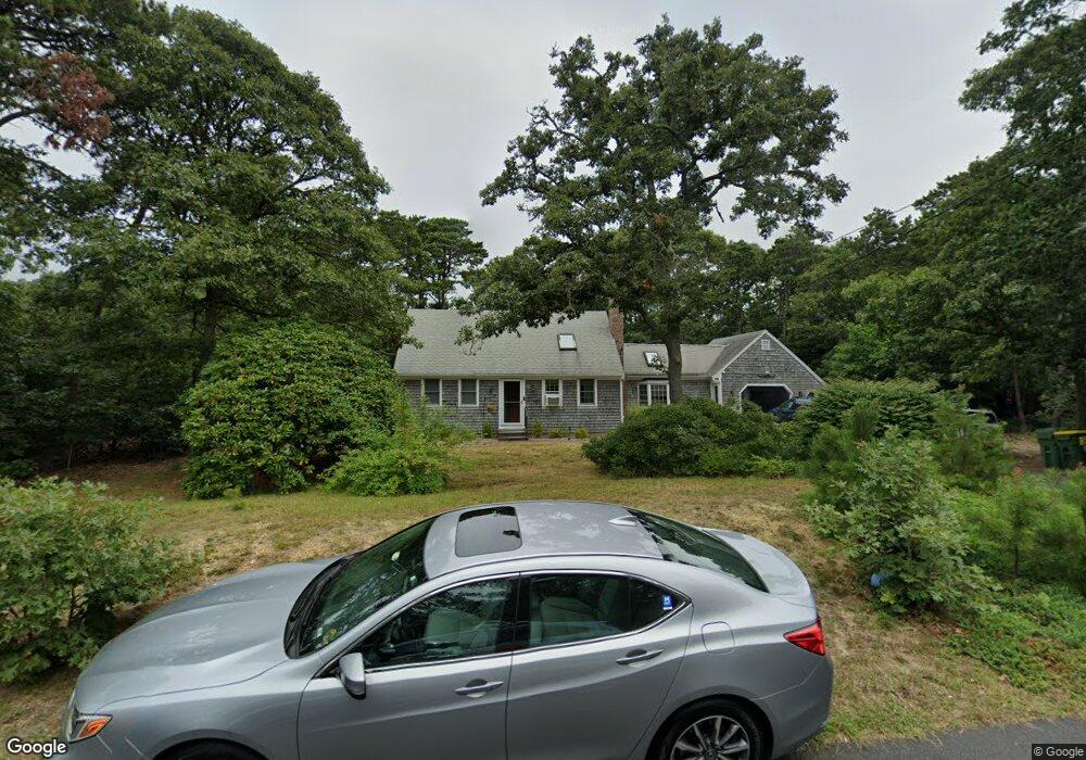
80 Whitney Rd Eastham, MA 02642
Estimated Value: $653,000 - $905,000
3
Beds
2
Baths
1,236
Sq Ft
$624/Sq Ft
Est. Value
About This Home
This home is located at 80 Whitney Rd, Eastham, MA 02642 and is currently estimated at $771,036, approximately $623 per square foot. 80 Whitney Rd is a home located in Barnstable County with nearby schools including Eastham Elementary School, Nauset Regional Middle School, and Nauset Regional High School.
Ownership History
Date
Name
Owned For
Owner Type
Purchase Details
Closed on
Dec 29, 2017
Sold by
Schmidt Mary E and Schmidt Marybeth
Bought by
Johnsmeyer Peter and Johnsmeyer Christine
Current Estimated Value
Home Financials for this Owner
Home Financials are based on the most recent Mortgage that was taken out on this home.
Original Mortgage
$200,000
Outstanding Balance
$168,819
Interest Rate
3.95%
Mortgage Type
New Conventional
Estimated Equity
$602,217
Purchase Details
Closed on
Feb 22, 2012
Sold by
Johnsmeyer Eileen
Bought by
Johnsmeyer Eileen and Schmidt Marybeth
Create a Home Valuation Report for This Property
The Home Valuation Report is an in-depth analysis detailing your home's value as well as a comparison with similar homes in the area
Home Values in the Area
Average Home Value in this Area
Purchase History
| Date | Buyer | Sale Price | Title Company |
|---|---|---|---|
| Johnsmeyer Peter | $300,000 | -- | |
| Johnsmeyer Eileen | -- | -- |
Source: Public Records
Mortgage History
| Date | Status | Borrower | Loan Amount |
|---|---|---|---|
| Open | Johnsmeyer Peter | $200,000 |
Source: Public Records
Tax History
| Year | Tax Paid | Tax Assessment Tax Assessment Total Assessment is a certain percentage of the fair market value that is determined by local assessors to be the total taxable value of land and additions on the property. | Land | Improvement |
|---|---|---|---|---|
| 2025 | $4,954 | $642,500 | $267,400 | $375,100 |
| 2024 | $4,406 | $628,600 | $259,600 | $369,000 |
| 2023 | $4,067 | $561,700 | $240,400 | $321,300 |
| 2022 | $3,845 | $448,100 | $214,700 | $233,400 |
| 2021 | $3,738 | $407,200 | $195,100 | $212,100 |
| 2020 | $3,466 | $397,500 | $199,100 | $198,400 |
| 2019 | $3,205 | $388,500 | $193,300 | $195,200 |
| 2018 | $3,150 | $377,300 | $187,700 | $189,600 |
| 2017 | $2,922 | $369,900 | $184,000 | $185,900 |
| 2016 | $2,540 | $341,400 | $156,400 | $185,000 |
| 2015 | $2,364 | $333,000 | $153,400 | $179,600 |
Source: Public Records
Map
Nearby Homes
- 600 Kingsbury Beach Rd
- 82 Old Orchard Rd
- 255 Massasoit Rd
- 10 Bradford Ln
- 85 Huckleberry Ln
- 20 Billingsgate Ave
- 20 Oak Rd
- 25 Forrest Ave
- 70 Deerfield Ln
- 2705 State Hwy
- 2705 State Hwy Unit 1-8
- 315 Candlewood Dr
- 18 Jay Dee Ln
- 5470 State Hwy
- 100 Gigi Ln
- 340 Salt Works Rd
- 55 Grandfathers Way
- 10 Cartway N
- 330 Hay Rd
- 135 Nauset Light Beach Rd
- 320 Captains Way
- 90 Whitney Rd
- 70 Whitney Rd
- 330 Captains Way
- 75 Whitney Rd
- 310 Captains Way
- 65 Whitney Rd
- 85 Whitney Rd
- 340 Captains Way
- 60 Whitney Rd
- 100 Whitney Rd
- 325 Captains Way
- 300 Captains Way
- 75 Wood Song Dr
- 55 Whitney Rd
- 350 Captains Way
- 55 Wood Song Dr
- 275 Captains Way
- 50 Pilot Rd
- 20 Clipper Way
Your Personal Tour Guide
Ask me questions while you tour the home.