Estimated Value: $3,642,079
--
Bed
--
Bath
22,056
Sq Ft
$165/Sq Ft
Est. Value
About This Home
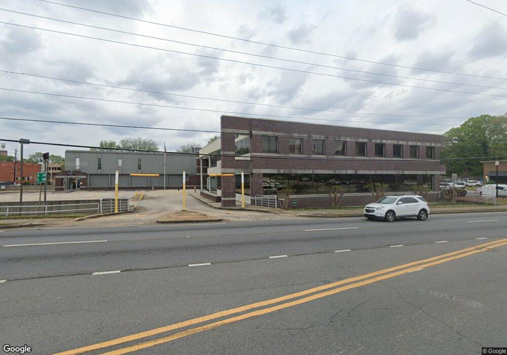
This home is located at 800 Broad St Unit 202, Rome, GA 30161 and is currently estimated at $3,642,079, approximately $165 per square foot. 800 Broad St Unit 202 is a home located in Floyd County with nearby schools including Rome High School, St. Mary School, and Darlington School.
Ownership History
Date
Name
Owned For
Owner Type
Purchase Details
Closed on
Dec 30, 2021
Sold by
Roger Manis Llc
Bought by
Sebe Investments Llc
Current Estimated Value
Home Financials for this Owner
Home Financials are based on the most recent Mortgage that was taken out on this home.
Original Mortgage
$1,933,480
Outstanding Balance
$127,867
Interest Rate
3.05%
Mortgage Type
New Conventional
Estimated Equity
$3,514,212
Purchase Details
Closed on
Dec 12, 2019
Sold by
Georgia Power Co
Bought by
Roger Manis Llc
Create a Home Valuation Report for This Property
The Home Valuation Report is an in-depth analysis detailing your home's value as well as a comparison with similar homes in the area
Home Values in the Area
Average Home Value in this Area
Purchase History
| Date | Buyer | Sale Price | Title Company |
|---|---|---|---|
| Sebe Investments Llc | $2,900,000 | -- | |
| Roger Manis Llc | $1,600,000 | -- |
Source: Public Records
Mortgage History
| Date | Status | Borrower | Loan Amount |
|---|---|---|---|
| Open | Sebe Investments Llc | $1,933,480 |
Source: Public Records
Tax History Compared to Growth
Tax History
| Year | Tax Paid | Tax Assessment Tax Assessment Total Assessment is a certain percentage of the fair market value that is determined by local assessors to be the total taxable value of land and additions on the property. | Land | Improvement |
|---|---|---|---|---|
| 2024 | $43,842 | $1,204,000 | $350,486 | $853,514 |
| 2023 | $44,307 | $1,423,646 | $414,426 | $1,009,220 |
| 2022 | $44,068 | $1,301,051 | $379,891 | $921,160 |
| 2021 | $40,197 | $1,224,972 | $379,891 | $845,081 |
| 2020 | $24,906 | $1,263,182 | $414,426 | $848,756 |
| 2019 | $2,080 | $54,000 | $2,000 | $52,000 |
| 2018 | $2,080 | $54,000 | $2,000 | $52,000 |
| 2017 | $1,986 | $54,000 | $2,000 | $52,000 |
| 2016 | $0 | $54,000 | $2,000 | $52,000 |
| 2015 | $1,948 | $54,000 | $2,000 | $52,000 |
| 2014 | $1,948 | $54,000 | $2,000 | $52,000 |
Source: Public Records
Map
Nearby Homes
- 138 E 8th Ave Unit 25
- 102 Smith St NE
- 110 Smith St NE
- 29 Pear St
- 407 E 3rd St
- 13 Heard St NE
- 15 Heard St
- 202 E 4th Ave Unit 5
- 202 E 4th Ave
- 312 E 3rd St
- 1208 N Broad St NE
- 10 E 3rd Ave
- 8 E 3rd Ave
- 31 Ross St NE
- 106 Ross St NE
- 214 E 3rd St
- 320 E 3rd Ave
- 163 Sweet Water Lane Dr SE
- 303 Grady Ave NE
- 715 Avenue A NE
- 800 Broad St Unit 216
- 00 Georgia 20
- 1000 U S 27
- 0 Georgia 20
- 3790 Highway 27 S
- 0 Hwy 27 N Unit 7168743
- 0 Hwy 27 N Unit 7083694
- 0 Hwy 27 N Unit 3853027
- 0 Hwy 27 N Unit 5057962
- 0 Hwy 27 N Unit 5207855
- 0 Hwy 27 N Unit 5681679
- 712 Broad St
- 712 Broad St Unit Suite B
- 712 Broad St Suiite B
- 3 Sage Ct Unit 3
- 0 Striking Streets Properties Unit 7637903-11485459
- A Long Irrv Trust
- 0 Striking Streets Properties Unit 7637903-11474343
- 0 Radar Properties Unit 3617496-8285636
- 0 Striking Streets Properties Unit 7637903-11393558