800 Cain Lake Rd Sedro Woolley, WA 98284
Estimated Value: $1,228,000 - $1,877,000
3
Beds
4
Baths
4,692
Sq Ft
$340/Sq Ft
Est. Value
About This Home
This home is located at 800 Cain Lake Rd, Sedro Woolley, WA 98284 and is currently estimated at $1,597,306, approximately $340 per square foot. 800 Cain Lake Rd is a home located in Whatcom County with nearby schools including Mount Baker Senior High School.
Ownership History
Date
Name
Owned For
Owner Type
Purchase Details
Closed on
Sep 9, 1999
Sold by
Kaiser Nicholas F and Kaiser Markell F
Bought by
Roth Gary W and Roth Karen B
Current Estimated Value
Home Financials for this Owner
Home Financials are based on the most recent Mortgage that was taken out on this home.
Original Mortgage
$450,000
Interest Rate
7.43%
Create a Home Valuation Report for This Property
The Home Valuation Report is an in-depth analysis detailing your home's value as well as a comparison with similar homes in the area
Home Values in the Area
Average Home Value in this Area
Purchase History
| Date | Buyer | Sale Price | Title Company |
|---|---|---|---|
| Roth Gary W | -- | Charter Title Corporation |
Source: Public Records
Mortgage History
| Date | Status | Borrower | Loan Amount |
|---|---|---|---|
| Previous Owner | Roth Gary W | $450,000 |
Source: Public Records
Tax History Compared to Growth
Tax History
| Year | Tax Paid | Tax Assessment Tax Assessment Total Assessment is a certain percentage of the fair market value that is determined by local assessors to be the total taxable value of land and additions on the property. | Land | Improvement |
|---|---|---|---|---|
| 2024 | $11,468 | $1,556,420 | $412,879 | $1,143,541 |
| 2023 | $11,468 | $1,673,520 | $443,943 | $1,229,577 |
| 2022 | $10,818 | $1,535,302 | $407,277 | $1,128,025 |
| 2021 | $10,336 | $1,181,002 | $313,290 | $867,712 |
| 2020 | $10,315 | $1,000,849 | $265,500 | $735,349 |
| 2019 | $9,252 | $1,000,849 | $265,500 | $735,349 |
| 2018 | $11,551 | $989,267 | $243,994 | $745,273 |
| 2017 | $9,787 | $957,874 | $236,251 | $721,623 |
| 2016 | $8,922 | $865,992 | $213,589 | $652,403 |
| 2015 | $9,221 | $781,767 | $192,816 | $588,951 |
| 2014 | -- | $781,767 | $192,816 | $588,951 |
| 2013 | -- | $765,687 | $188,850 | $576,837 |
Source: Public Records
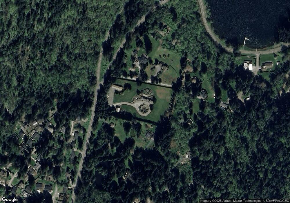
Map
Nearby Homes
- 3130 S Bay Vista Dr
- 782 Summerset Way
- 750 West Rd
- 659 Cain Lake Rd
- 990 S Lake Whatcom Blvd Unit S
- 990 S Lake Whatcom Blvd Unit 9
- 990 S Lake Whatcom Blvd Unit 67
- 990 S Lake Whatcom Blvd Unit 48
- 990 Lake Whatcom Blvd Unit 11
- 2972 Brook Ln
- 3026 Beaver Place
- 2984 Beaver Place
- 2967 Cedar Ln
- 561 Rainbow Dr
- 519 Cain Lake Rd
- 530 Rainbow Dr
- 534 Hilltop Dr
- 478 Fir Ln
- 582 Summit Place
- 482 Hilltop Dr
- 790 Cain Lake Rd
- 3110 South Bay Vista Dr
- 3148 S Bay Vista Dr
- 785 Cain Lake Rd
- 3140 South Bay Vista Dr
- 3144 South Bay Vista Dr
- 794 Fernhaven Rd
- 780 Fernhaven Ln
- 780 Fernhaven Ln
- 3132 Blackjack Trail
- 776 Fernhaven Rd
- 848 Cain Lake Rd
- 798 Summerset Way
- 798 Fernhaven Rd
- 767 Cain Lake Rd
- 3227 South Bay Dr
- 794 Summerset Way
- 790 Summerset Way
- 3083 Ash Way