800 Canvasback Ct Arnold, MD 21012
Estimated Value: $1,061,000 - $1,210,000
Studio
3
Baths
2,240
Sq Ft
$512/Sq Ft
Est. Value
About This Home
This home is located at 800 Canvasback Ct, Arnold, MD 21012 and is currently estimated at $1,146,515, approximately $511 per square foot. 800 Canvasback Ct is a home located in Anne Arundel County with nearby schools including Broadneck Elementary School, Magothy River Middle School, and Broadneck High School.
Ownership History
Date
Name
Owned For
Owner Type
Purchase Details
Closed on
Aug 30, 2023
Sold by
First Restatement Of The Powers Living T
Bought by
Anderson Thomas J and Anderson Patricia P
Current Estimated Value
Home Financials for this Owner
Home Financials are based on the most recent Mortgage that was taken out on this home.
Original Mortgage
$400,000
Outstanding Balance
$391,226
Interest Rate
6.78%
Mortgage Type
VA
Estimated Equity
$755,289
Purchase Details
Closed on
Mar 23, 2012
Sold by
Powers Thomas E and Powers Kathleen M
Bought by
Powers Thomas E and Powers Kathleen M
Purchase Details
Closed on
Nov 5, 1980
Bought by
Powers Thomas E
Home Financials for this Owner
Home Financials are based on the most recent Mortgage that was taken out on this home.
Original Mortgage
$103,000
Interest Rate
14%
Create a Home Valuation Report for This Property
The Home Valuation Report is an in-depth analysis detailing your home's value as well as a comparison with similar homes in the area
Home Values in the Area
Average Home Value in this Area
Purchase History
| Date | Buyer | Sale Price | Title Company |
|---|---|---|---|
| Anderson Thomas J | $975,000 | None Listed On Document | |
| Anderson Thomas J | $975,000 | None Listed On Document | |
| Powers Thomas E | -- | None Available | |
| Powers Thomas E | $161,500 | -- |
Source: Public Records
Mortgage History
| Date | Status | Borrower | Loan Amount |
|---|---|---|---|
| Open | Anderson Thomas J | $400,000 | |
| Closed | Anderson Thomas J | $400,000 | |
| Previous Owner | Powers Thomas E | $103,000 |
Source: Public Records
Tax History
| Year | Tax Paid | Tax Assessment Tax Assessment Total Assessment is a certain percentage of the fair market value that is determined by local assessors to be the total taxable value of land and additions on the property. | Land | Improvement |
|---|---|---|---|---|
| 2025 | $6,887 | $743,267 | -- | -- |
| 2024 | $6,887 | $583,100 | $324,300 | $258,800 |
Source: Public Records
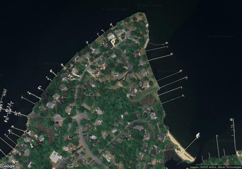
Map
Nearby Homes
- 889 Lynch Dr
- 404 Alameda Pkwy
- 1159 Greenhill Rd
- 559 Melissa Ct
- 920 Burnett Ave
- 539 Greenblades Ct
- 876 Shore Acres Rd
- 797 David Dr
- 921 Lake Dr
- 813 Mago Vista Rd
- 276 Overleaf Dr
- 303 Ternwing Dr
- 643 Oakland Hills Dr Unit U2A
- 1078 Brightleaf Ct
- 785 Macsherry Dr
- 836 Mill Creek Rd
- 1110 Niblick Ct
- 243 and 245 Haverton Rd
- 1124 Brassie Ct
- 975 Phillips Dr
- 804 Canvasback Ct
- 707 White Swan Dr
- 808 Canvasback Ct
- 711 White Swan Dr
- 792 Canvasback Ct
- 703 White Swan Dr
- 921 Mallard Cir
- 925 Mallard Cir
- 844 Blue Heron Ct
- 788 Canvasback Ct
- 929 Mallard Cir
- 715 White Swan Dr
- 699 White Swan Dr
- 784 Canvasback Ct
- 917 Mallard Cir
- 840 Blue Heron Ct
- 780 Canvasback Ct
- 848 Blue Heron Ct
- 933 Mallard Cir
- 776 Canvasback Ct
Your Personal Tour Guide
Ask me questions while you tour the home.