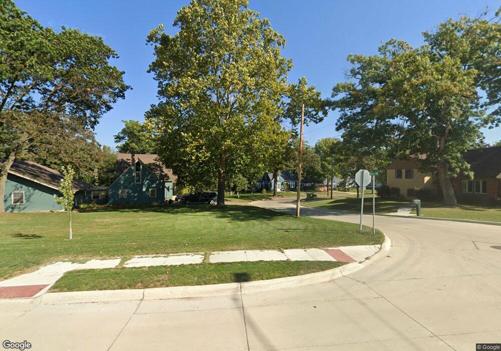
800 Carter St NW Elkader, IA 52043
Estimated Value: $134,000 - $194,000
4
Beds
2
Baths
1,548
Sq Ft
$101/Sq Ft
Est. Value
About This Home
This home is located at 800 Carter St NW, Elkader, IA 52043 and is currently estimated at $156,389, approximately $101 per square foot. 800 Carter St NW is a home located in Clayton County with nearby schools including Central Elementary School and Central Middle School/High School.
Ownership History
Date
Name
Owned For
Owner Type
Purchase Details
Closed on
Dec 26, 2012
Sold by
Glawe Bradley H and Glawe Crystal A
Bought by
Erickson Paul A and Erickson Kelly R
Current Estimated Value
Home Financials for this Owner
Home Financials are based on the most recent Mortgage that was taken out on this home.
Original Mortgage
$63,000
Outstanding Balance
$43,431
Interest Rate
3.34%
Mortgage Type
Future Advance Clause Open End Mortgage
Estimated Equity
$112,958
Create a Home Valuation Report for This Property
The Home Valuation Report is an in-depth analysis detailing your home's value as well as a comparison with similar homes in the area
Home Values in the Area
Average Home Value in this Area
Purchase History
| Date | Buyer | Sale Price | Title Company |
|---|---|---|---|
| Erickson Paul A | $61,000 | None Available |
Source: Public Records
Mortgage History
| Date | Status | Borrower | Loan Amount |
|---|---|---|---|
| Open | Erickson Paul A | $63,000 |
Source: Public Records
Tax History Compared to Growth
Tax History
| Year | Tax Paid | Tax Assessment Tax Assessment Total Assessment is a certain percentage of the fair market value that is determined by local assessors to be the total taxable value of land and additions on the property. | Land | Improvement |
|---|---|---|---|---|
| 2025 | $2,656 | $139,207 | $13,274 | $125,933 |
| 2024 | $2,408 | $116,487 | $11,543 | $104,944 |
| 2023 | $2,250 | $116,487 | $11,543 | $104,944 |
| 2022 | $2,082 | $95,042 | $10,521 | $84,521 |
| 2021 | $1,886 | $95,042 | $10,521 | $84,521 |
| 2020 | $1,886 | $90,109 | $10,521 | $79,588 |
| 2019 | $1,700 | $90,109 | $10,521 | $79,588 |
| 2018 | $1,700 | $83,745 | $10,521 | $73,224 |
| 2017 | $1,670 | $83,745 | $10,521 | $73,224 |
| 2015 | $1,410 | $70,217 | $11,075 | $59,142 |
| 2014 | $1,324 | $70,217 | $11,075 | $59,142 |
Source: Public Records
Map
Nearby Homes
- 707 N Main St
- 702 N Main St
- 710 Woodland Dr NW
- 301 N 1st St
- 302 N 3rd St
- 117 S Main St
- 209 2nd St SW
- 0 E Bridge St
- 247 Franzen Ridge Rd
- 249 Franzen Ridge Rd
- 26642 Iowa 13
- 27766 Highway 13
- 0 13 Hwy Unit NBR20255145
- 14149 Iowa 56
- 27455 Harbor Rd
- TBD Country Rd
- 0 Grandview Rd
- 305 S Russell St
- TBD Birch Rd
- 100 Volga St
- 800 Carter St NW
- 802 Carter St NW
- 803 Carter St NW
- 805 Carter St NW
- 806 1st St NW
- 801 Carter St NW
- 808 1st St NW
- 807 Carter St NW
- 804 1st St NW
- 804 N 1st St
- 902 1st St NW
- 806 Carter St NW
- 802 1st St NW
- 809 Carter St NW
- 704 Davidson St NW
- 702 Davidson St NW
- 709 1st St NW
- 808 Carter St NW
- 706 Davidson St NW
- 906 1st St NW