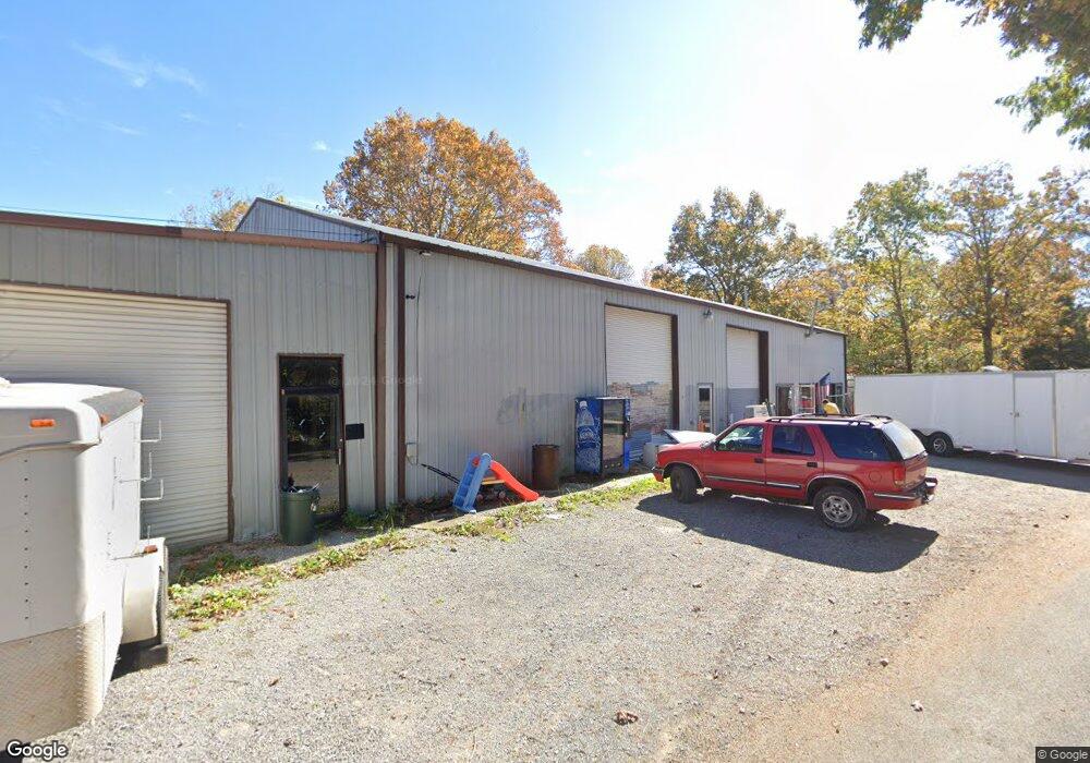
800 Choate Ln Jamestown, TN 38556
--
Bed
--
Bath
2,800
Sq Ft
2.5
Acres
About This Home
This home is located at 800 Choate Ln, Jamestown, TN 38556. 800 Choate Ln is a home located in Fentress County with nearby schools including Cumberland Christian School.
Ownership History
Date
Name
Owned For
Owner Type
Purchase Details
Closed on
Feb 14, 2025
Sold by
Houston Jill E and Houston Donald A
Bought by
Strong Malcom Lee and Strong Velma
Home Financials for this Owner
Home Financials are based on the most recent Mortgage that was taken out on this home.
Original Mortgage
$70,768
Outstanding Balance
$70,347
Interest Rate
6.91%
Mortgage Type
New Conventional
Purchase Details
Closed on
Oct 27, 2006
Bought by
Houston Jill E Etvir Donald A
Purchase Details
Closed on
Mar 31, 1993
Bought by
Choate Lonnie and Choate Ralph Choate
Create a Home Valuation Report for This Property
The Home Valuation Report is an in-depth analysis detailing your home's value as well as a comparison with similar homes in the area
Home Values in the Area
Average Home Value in this Area
Purchase History
| Date | Buyer | Sale Price | Title Company |
|---|---|---|---|
| Strong Malcom Lee | $80,000 | Capstone Title & Escrow | |
| Strong Malcom Lee | $80,000 | Capstone Title & Escrow | |
| Houston Jill E Etvir Donald A | $33,000 | -- | |
| Choate Lonnie | $1,000 | -- |
Source: Public Records
Mortgage History
| Date | Status | Borrower | Loan Amount |
|---|---|---|---|
| Open | Strong Malcom Lee | $70,768 | |
| Closed | Strong Malcom Lee | $70,768 |
Source: Public Records
Tax History Compared to Growth
Tax History
| Year | Tax Paid | Tax Assessment Tax Assessment Total Assessment is a certain percentage of the fair market value that is determined by local assessors to be the total taxable value of land and additions on the property. | Land | Improvement |
|---|---|---|---|---|
| 2024 | $287 | $21,225 | $3,250 | $17,975 |
| 2023 | $287 | $21,225 | $3,250 | $17,975 |
| 2022 | $340 | $17,800 | $2,375 | $15,425 |
| 2021 | $340 | $17,800 | $2,375 | $15,425 |
| 2020 | $340 | $17,800 | $2,375 | $15,425 |
| 2019 | $340 | $17,800 | $2,375 | $15,425 |
| 2018 | $340 | $17,800 | $2,375 | $15,425 |
| 2017 | $372 | $18,750 | $2,125 | $16,625 |
| 2016 | $372 | $18,750 | $2,125 | $16,625 |
| 2015 | $372 | $18,762 | $0 | $0 |
| 2014 | $372 | $18,762 | $0 | $0 |
Source: Public Records
Map
Nearby Homes
- N/A Hensley Rd
- n/a Hensley Rd
- n/a Hensley Rd
- 0 Hensley Rd
- 532 White Oak Rd
- 0 White Oak St Unit 1285540
- 208 Bills St
- 0 Chapman Rd Unit 1287736
- 124 County Rd
- 328 Wheeler Ave
- n/a Chapman Rd
- 0 Allardt Hwy Unit 1316940
- 0 Allardt Hwy Unit 1316911
- 1B Junaluska Dr
- 201 Taylor Ave
- 150 Acre Prong of Clear Fork
- 1121 Hensley Rd
- 1125 Hensley Rd
- 860 Choate Ln
- 2.20 Ac. Choate Ln
- 1020 Hensley Rd
- 1132 Hensley Rd
- 1132 Hensley Rd
- 1132 Hensley Rd
- 1014 Hensley Rd
- 1010 Hensley Rd
- 185 County Rd
- 1141 Hensley Rd
- 1008 Hensley Rd
- 452 Whiteoak St
- 1004 Hensley Rd
- 446 White Oak St
- 503 White Oak Rd
- 511 White Oak Rd
- 525 White Oak Rd
- 608 Barney Holt Rd