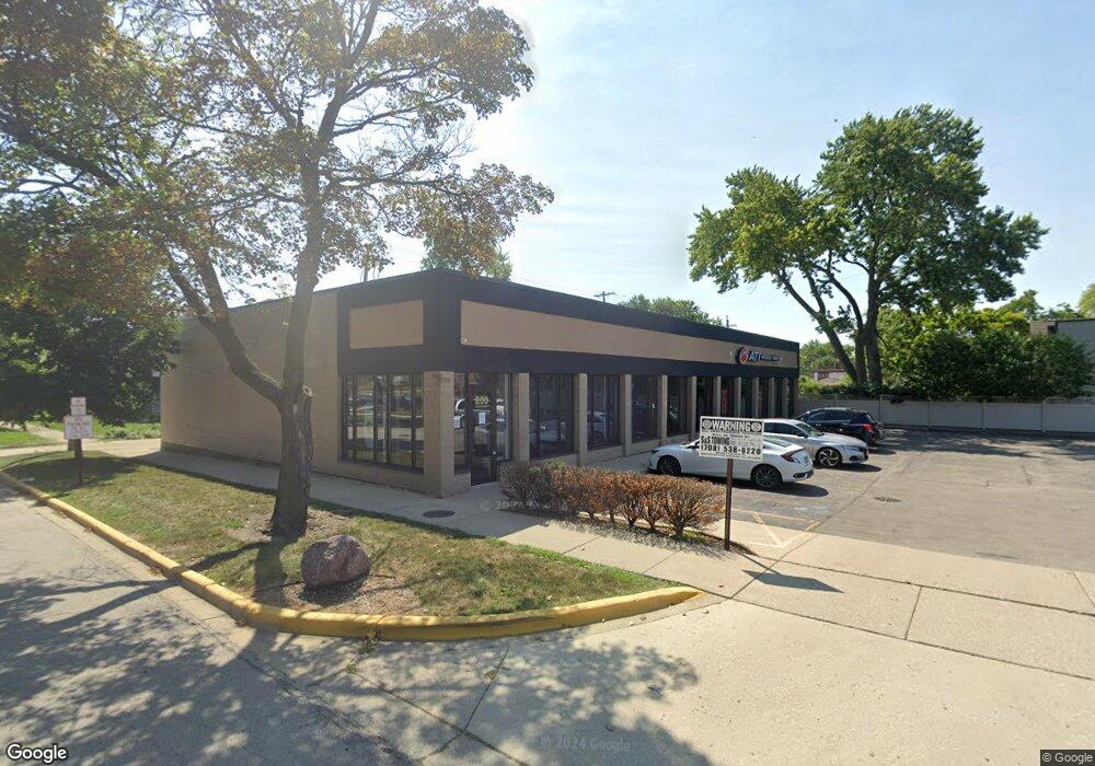
800 Des Plaines Ave Forest Park, IL 60130
Estimated Value: $991,797
--
Bed
--
Bath
6,000
Sq Ft
$165/Sq Ft
Est. Value
About This Home
This home is located at 800 Des Plaines Ave, Forest Park, IL 60130 and is currently estimated at $991,797, approximately $165 per square foot. 800 Des Plaines Ave is a home located in Cook County with nearby schools including Garfield Elementary School, Field Stevenson Elementary School, and Betsy Ross Elementary School.
Ownership History
Date
Name
Owned For
Owner Type
Purchase Details
Closed on
Aug 23, 2019
Sold by
Keenum Michael E
Bought by
Rojo Management Llc
Current Estimated Value
Home Financials for this Owner
Home Financials are based on the most recent Mortgage that was taken out on this home.
Original Mortgage
$548,000
Interest Rate
4.83%
Mortgage Type
Commercial
Create a Home Valuation Report for This Property
The Home Valuation Report is an in-depth analysis detailing your home's value as well as a comparison with similar homes in the area
Home Values in the Area
Average Home Value in this Area
Purchase History
| Date | Buyer | Sale Price | Title Company |
|---|---|---|---|
| Rojo Management Llc | $685,000 | Chicago Title |
Source: Public Records
Mortgage History
| Date | Status | Borrower | Loan Amount |
|---|---|---|---|
| Closed | Rojo Management Llc | $548,000 |
Source: Public Records
Tax History Compared to Growth
Tax History
| Year | Tax Paid | Tax Assessment Tax Assessment Total Assessment is a certain percentage of the fair market value that is determined by local assessors to be the total taxable value of land and additions on the property. | Land | Improvement |
|---|---|---|---|---|
| 2024 | $40,563 | $138,064 | $62,650 | $75,414 |
| 2023 | $56,779 | $135,047 | $62,650 | $72,397 |
| 2022 | $56,779 | $158,416 | $53,700 | $104,716 |
| 2021 | $53,932 | $158,415 | $53,700 | $104,715 |
| 2020 | $52,555 | $158,415 | $53,700 | $104,715 |
| 2019 | $63,819 | $181,250 | $40,275 | $140,975 |
| 2018 | $58,428 | $169,427 | $40,275 | $129,152 |
| 2017 | $66,308 | $196,599 | $40,275 | $156,324 |
| 2016 | $74,604 | $208,181 | $38,037 | $170,144 |
| 2015 | $68,775 | $194,970 | $38,037 | $156,933 |
| 2014 | $53,400 | $154,298 | $38,037 | $116,261 |
| 2013 | $49,902 | $154,296 | $38,037 | $116,259 |
Source: Public Records
Map
Nearby Homes
- 850 Des Plaines Ave Unit 207
- 7526 Harrison St
- 900 Dunlop Ave
- 900 Lathrop Ave
- 915 Ferdinand Ave
- 940 Troost Ave
- 827 Thomas Ave
- 613 Ferdinand Ave
- 7708 Harvard St
- 946 Ferdinand Ave
- 1008 Lathrop Ave
- 1007 Ferdinand Ave
- 605 Grove Ln Unit 605
- 1013 Ferdinand Ave
- 600 Ferdinand Ave
- 944 Beloit Ave Unit 2
- 944 Beloit Ave Unit 1
- 944 Beloit Ave Unit 5
- 944 Beloit Ave Unit 4
- 1024 Ferdinand Ave
- 810 Dunlop Ave
- 816 Dunlop Ave
- 7612 Harrison St
- 818 Dunlop Ave
- 820 Dunlop Ave
- 7608 Harrison St
- 822 Dunlop Ave
- 7606 Harrison St
- 824 Dunlop Ave
- 815 Lathrop Ave
- 815 Dunlop Ave
- 7604 Harrison St
- 819 Lathrop Ave
- 817 Dunlop Ave
- 826 Dunlop Ave
- 7600 Harrison St
- 821 Lathrop Ave
- 819 Dunlop Ave
- 828 Dunlop Ave
- 821 Dunlop Ave