800 Highway 150 S West Union, IA 52175
Estimated Value: $1,426,970
--
Bed
--
Bath
2,989
Sq Ft
$477/Sq Ft
Est. Value
About This Home
This home is located at 800 Highway 150 S, West Union, IA 52175 and is currently estimated at $1,426,970, approximately $477 per square foot. 800 Highway 150 S is a home located in Fayette County with nearby schools including North Fayette Valley Middle School and North Fayette Valley H. School.
Ownership History
Date
Name
Owned For
Owner Type
Purchase Details
Closed on
Jun 13, 2022
Sold by
Fettkether Jamie K and Fettkether Jenal M
Bought by
Erich And Christal Gamm Trust
Current Estimated Value
Purchase Details
Closed on
Jan 11, 2019
Sold by
Gamm Erich and Gamm Christal
Bought by
Lincoln Rond Real Estate
Home Financials for this Owner
Home Financials are based on the most recent Mortgage that was taken out on this home.
Original Mortgage
$700,000
Interest Rate
4.6%
Mortgage Type
Stand Alone Refi Refinance Of Original Loan
Create a Home Valuation Report for This Property
The Home Valuation Report is an in-depth analysis detailing your home's value as well as a comparison with similar homes in the area
Home Values in the Area
Average Home Value in this Area
Purchase History
| Date | Buyer | Sale Price | Title Company |
|---|---|---|---|
| Erich And Christal Gamm Trust | $2,100,000 | None Listed On Document | |
| Lincoln Rond Real Estate | -- | -- |
Source: Public Records
Mortgage History
| Date | Status | Borrower | Loan Amount |
|---|---|---|---|
| Previous Owner | Lincoln Rond Real Estate | $700,000 |
Source: Public Records
Tax History Compared to Growth
Tax History
| Year | Tax Paid | Tax Assessment Tax Assessment Total Assessment is a certain percentage of the fair market value that is determined by local assessors to be the total taxable value of land and additions on the property. | Land | Improvement |
|---|---|---|---|---|
| 2025 | $29,624 | $1,081,600 | $260,580 | $821,020 |
| 2024 | $29,624 | $982,020 | $260,580 | $721,440 |
| 2023 | $25,500 | $982,020 | $260,580 | $721,440 |
| 2022 | $23,164 | $853,890 | $203,250 | $650,640 |
| 2021 | $23,164 | $1,039,170 | $260,580 | $778,590 |
| 2020 | $29,810 | $1,039,170 | $260,580 | $778,590 |
| 2019 | $41,442 | $1,448,830 | $0 | $0 |
| 2018 | $41,636 | $1,448,830 | $0 | $0 |
| 2017 | $44,916 | $1,448,830 | $0 | $0 |
| 2016 | $44,864 | $1,448,830 | $0 | $0 |
| 2015 | $44,864 | $0 | $0 | $0 |
| 2014 | $50,772 | $0 | $0 | $0 |
Source: Public Records
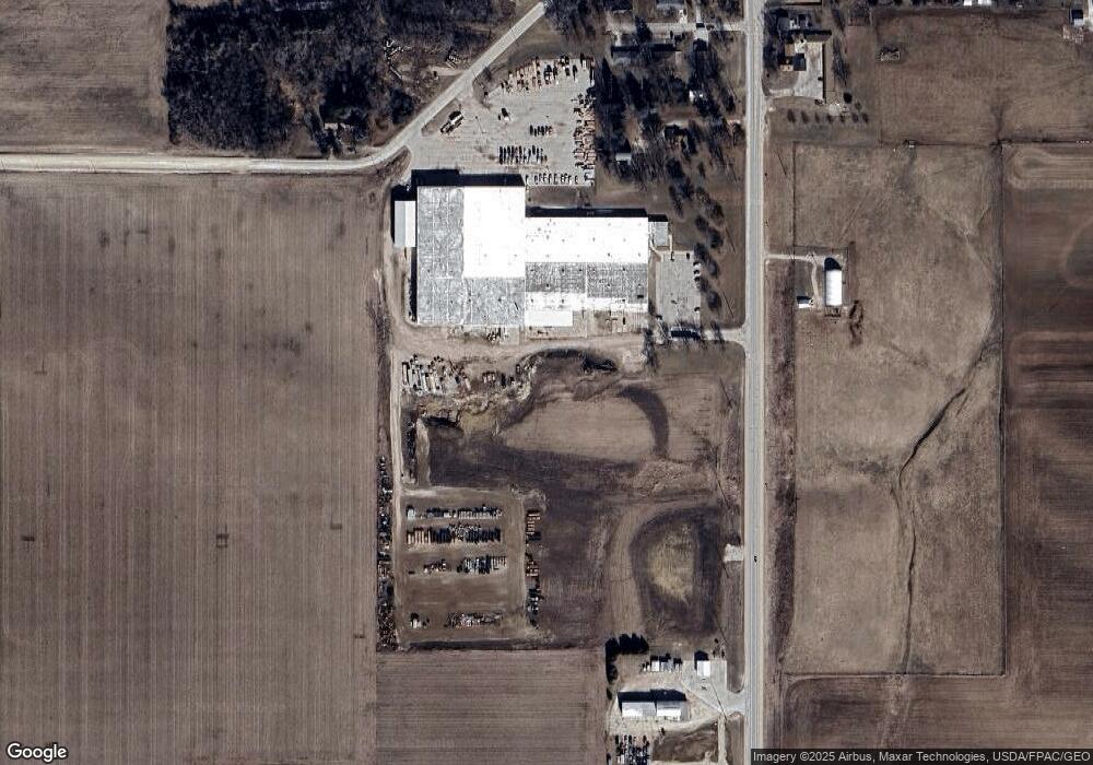
Map
Nearby Homes
- TBD Lots 5&6 St
- 306 W Plum St
- 310 W Plum St
- 313 W Elm St
- 217 S Walnut St
- 119 N Wells St
- 206 W Maple St
- 504 W Bradford St
- 601 Russell Ave
- 326 E Elm St
- 106 Jones St
- 701 Northwestern Ave
- 10290 Echo Valley Lot 2 Rd
- 304 Auburn St
- 110 Lilac Ave
- 107 Union Ridge Dr
- 705 Iowa 150
- 15453 200th St
- 14973 Nature Rd
- Parcel: 1120400010
- 800 Highway 150 S
- 706 Highway 150 S
- 210 Meadow Ln
- 404 W Franklin St
- 700 Highway 150 S
- 211 Meadow Ln
- 209 Meadow Ln
- 207 Meadow Ln
- 705 Highway 150 S
- 703 Highway 150 S
- 163 W Franklin St
- 157 W Franklin St
- 162 W Franklin St
- 155 W Franklin St
- 153 W Franklin St
- 904 Highway 150 S
- 904 Highway 150 S
- 609 Highway 150 S
- 151 W Franklin St
- 400 W Franklin St