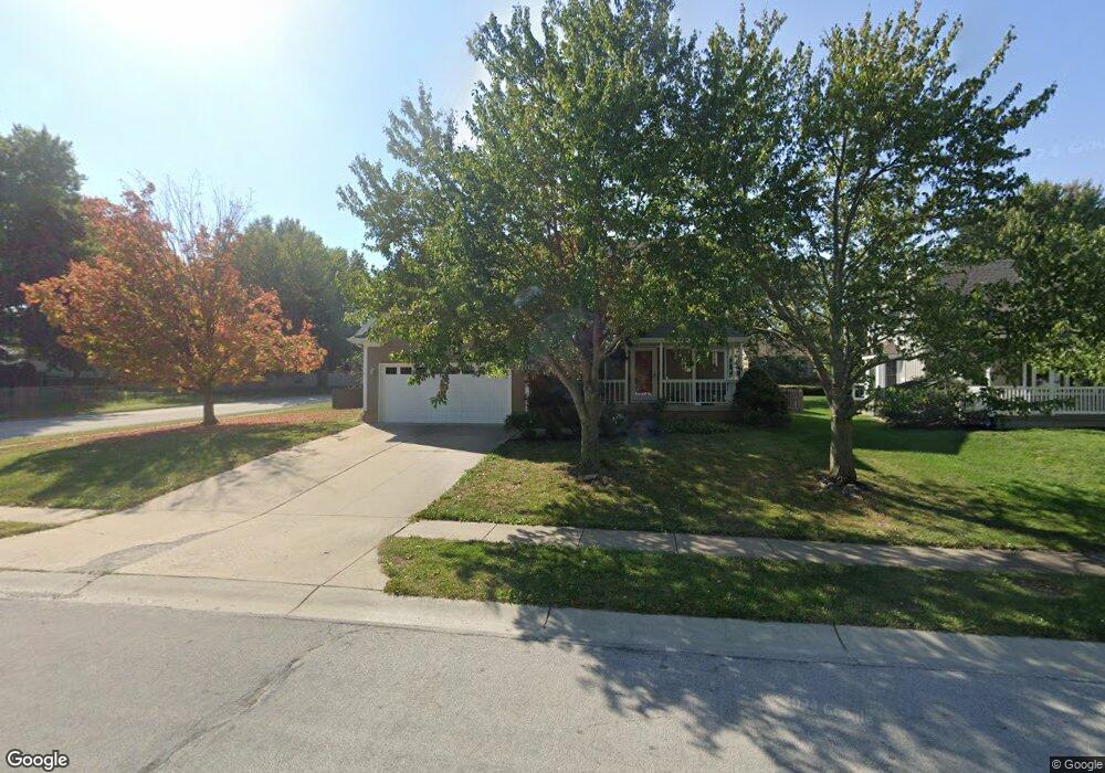
800 NE Michael Dr Lees Summit, MO 64086
Estimated Value: $356,000 - $418,000
About This Home
This home is located at 800 NE Michael Dr, Lees Summit, MO 64086 and is currently estimated at $381,178, approximately $179 per square foot. 800 NE Michael Dr is a home located in Jackson County with nearby schools including Underwood Elementary School, Bernard C. Campbell Middle School, and Lee's Summit North High School.
Ownership History
We collect this data history from publicly available records. To have your information removed, we recommend requesting removal directly through your county’s website.
Purchase Details
Purchase Details
Home Financials for this Owner
Home Financials are based on the most recent Mortgage that was taken out on this home.Home Values in the Area
Average Home Value in this Area
Purchase History
We collect this data history from publicly available records. To have your information removed, we recommend requesting removal directly through your county’s website.
| Date | Buyer | Sale Price | Title Company |
|---|---|---|---|
| -- | Coffelt Land Title | ||
| -- | Stewart Title |
Mortgage History
We collect this data history from publicly available records. To have your information removed, we recommend requesting removal directly through your county’s website.
| Date | Status | Borrower | Loan Amount |
|---|---|---|---|
| Previous Owner | $96,000 |
Tax History
We collect this data history from publicly available records. To have your information removed, we recommend requesting removal directly through your county’s website.
| Year | Tax Paid | Tax Assessment Tax Assessment Total Assessment is a certain percentage of the fair market value that is determined by local assessors to be the total taxable value of land and additions on the property. | Land | Improvement |
|---|---|---|---|---|
| 2025 | $4,991 | $59,049 | $9,449 | $49,600 |
| 2024 | $4,955 | $69,124 | $8,366 | $60,758 |
| 2023 | $4,955 | $69,124 | $7,463 | $61,661 |
| 2022 | $3,604 | $44,650 | $7,211 | $37,439 |
| 2021 | $3,679 | $44,650 | $7,211 | $37,439 |
| 2020 | $3,533 | $42,461 | $7,211 | $35,250 |
| 2019 | $3,437 | $42,461 | $7,211 | $35,250 |
| 2018 | $3,183 | $36,496 | $4,156 | $32,340 |
| 2017 | $3,183 | $36,496 | $4,156 | $32,340 |
| 2016 | $3,052 | $34,637 | $4,199 | $30,438 |
| 2014 | $2,983 | $33,186 | $3,925 | $29,261 |
Map
- 724 NE Colleen Dr
- 1700 NE Bluff St
- 1708 NE Bluff St
- 1612 NE Bluff St
- 1029 NE Copperwood Dr
- 1029 NE Brookfield Dr
- 617 NE Birchwood Dr
- 1301 NE Foxwood Dr
- 1108 NE Colleen Dr
- 1829 NE Riley Dr
- 509 NE Country Ln
- 412 NE Deerfield Ct
- 1204 NE Hendrix Dr
- 1139 NE Clubhouse Ct
- 717 NE Ball Dr
- 1119 NE Clubhouse Cir
- 1817 NE Gatewood Dr
- 1301 NE Horizon Dr
- 500 NE Clubhouse Dr
- 705 NE Banner Dr
- 809 NE Michael Dr
- 805 NE Michael Dr
- 813 NE Michael Dr
- 808 NE Michael Dr
- 801 NE Michael Dr
- 804 NE Michael Dr
- 812 NE Michael Dr
- 817 NE Michael Dr
- 808 NE Aaron Dr
- 804 NE Aaron Dr
- 816 NE Michael Dr
- 812 NE Aaron Dr
- 800 NE Aaron Dr
- 816 NE Aaron Dr
- 820 NE Michael Dr
- 820 Aaron Dr
- 820 NE Aaron Dr
- 809 NE Aaron Dr
- 809 NE Bryant Dr
- 805 NE Aaron Dr
Ask me questions while you tour the home.