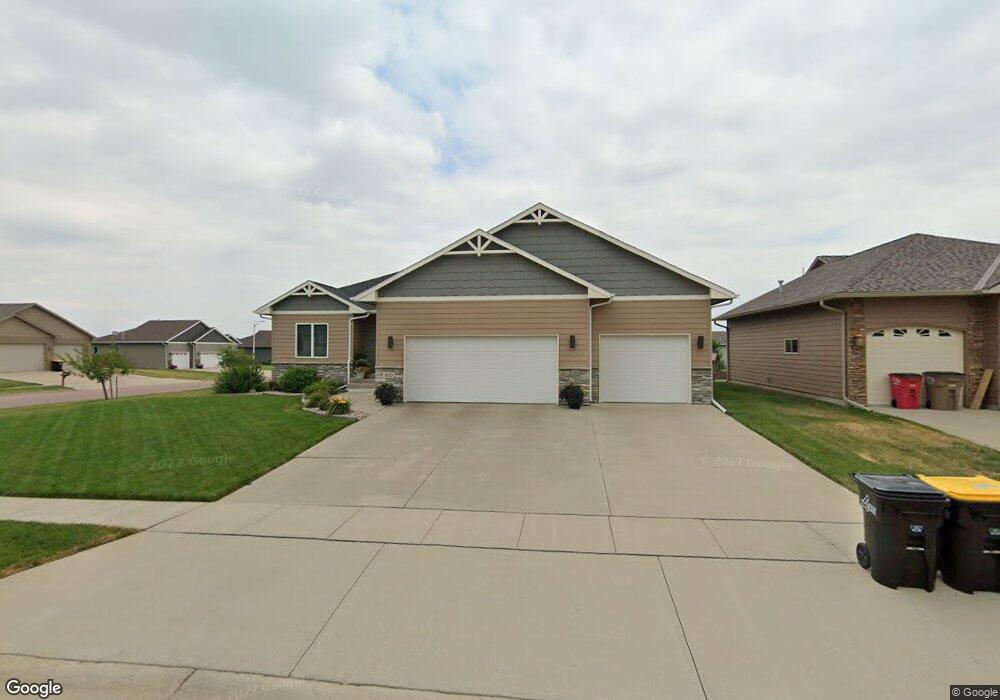
800 S Clearbrook Ave Sioux Falls, SD 57106
Northwest Sioux Falls NeighborhoodEstimated Value: $437,658 - $530,000
5
Beds
3
Baths
2,460
Sq Ft
$192/Sq Ft
Est. Value
About This Home
This home is located at 800 S Clearbrook Ave, Sioux Falls, SD 57106 and is currently estimated at $473,165, approximately $192 per square foot. 800 S Clearbrook Ave is a home located in Minnehaha County with nearby schools including Discovery Elementary School, Memorial Middle School, and Jefferson High School - 67.
Ownership History
Date
Name
Owned For
Owner Type
Purchase Details
Closed on
Feb 23, 2018
Sold by
Miritello Randy E and Miritello Aimee K
Bought by
Hinders Chelsea and Dewaard Benjamin
Current Estimated Value
Purchase Details
Closed on
Feb 12, 2015
Bought by
Miritello Randy E and Miritello Aimee K
Purchase Details
Closed on
Jul 22, 2014
Sold by
Orrin L Orrin L and Oliver Sharon R
Bought by
Paul Fick Homes Inc
Create a Home Valuation Report for This Property
The Home Valuation Report is an in-depth analysis detailing your home's value as well as a comparison with similar homes in the area
Home Values in the Area
Average Home Value in this Area
Purchase History
| Date | Buyer | Sale Price | Title Company |
|---|---|---|---|
| Hinders Chelsea | $330,000 | Stewart Title Company | |
| Miritello Randy E | $285,180 | Getty Abstract & Title Compa | |
| Paul Fick Homes Inc | $40,000 | Getty Abstract & Title Comp |
Source: Public Records
Tax History
| Year | Tax Paid | Tax Assessment Tax Assessment Total Assessment is a certain percentage of the fair market value that is determined by local assessors to be the total taxable value of land and additions on the property. | Land | Improvement |
|---|---|---|---|---|
| 2024 | $5,021 | $367,300 | $63,300 | $304,000 |
| 2023 | $5,270 | $372,200 | $50,800 | $321,400 |
| 2022 | $4,889 | $325,100 | $50,800 | $274,300 |
| 2021 | $4,918 | $300,100 | $0 | $0 |
| 2020 | $4,918 | $314,900 | $0 | $0 |
| 2019 | $4,472 | $280,408 | $0 | $0 |
| 2018 | $4,317 | $276,367 | $0 | $0 |
| 2016 | $4,125 | $260,087 | $38,272 | $221,815 |
| 2015 | $1,466 | $247,863 | $36,146 | $211,717 |
| 2014 | -- | $71,866 | $36,146 | $35,720 |
Source: Public Records
Map
Nearby Homes
- 7816 W Kelsey Cir
- 8009 W Stoney Creek St
- 824 S Tanglewood Ave
- 811 S Discovery Ave
- 8016 W Browning St
- 1301 S Hyannis Port Ln
- 1209 S Wheatland Ave
- 516 S Mary Gene Ave
- 7512 W Stoney Creek St
- 1201 S Montpelier Ave Ave
- 8709 W Rathburn St
- 7505 W 15th St
- 521 S Big Stone Ave
- 1100 S Maria Ave
- 1501 S Wheatland Ave
- 1516 S Kinderhook Ave
- 1400 S Hyde Park Ave
- 701 S Gill Ave
- 8101 W 24th St
- 8105 W 24th St
- 804 S Clearbrook Ave
- 7813 W Noah Cir
- 808 S Clearbrook Ave
- 7816 W Noah Cir
- 7812 W Zak Cir
- 801 S Clearbrook Ave
- 7809 W Noah Cir
- 713 S Clearbrook Ave
- 805 S Clearbrook Ave
- 7812 W Noah Cir
- 704 S Clearbrook Ave
- 7808 W Zak Cir
- 809 S Clearbrook Ave
- 709 S Clearbrook Ave
- 705 S Clearbrook Ave
- 7804 W Zak Cir
- 700 S Clearbrook Ave
- 7817 W Kelsey Cir
- 716 S Whitewood Ave
- 720 S Whitewood Ave
Your Personal Tour Guide
Ask me questions while you tour the home.