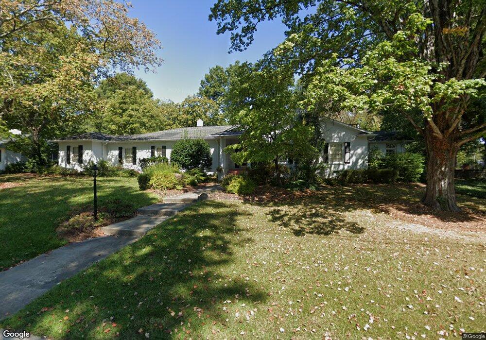
800 W Parkway Ave High Point, NC 27262
Greater High Point NeighborhoodEstimated Value: $485,749 - $577,000
3
Beds
3
Baths
3,364
Sq Ft
$161/Sq Ft
Est. Value
About This Home
This home is located at 800 W Parkway Ave, High Point, NC 27262 and is currently estimated at $540,937, approximately $160 per square foot. 800 W Parkway Ave is a home located in Guilford County with nearby schools including Northwood Elementary School, Ferndale Middle School, and High Point Central High School.
Ownership History
Date
Name
Owned For
Owner Type
Purchase Details
Closed on
Mar 7, 2005
Sold by
Mass Nudi M
Bought by
Owens Zachary L and Owens Gretchen M
Current Estimated Value
Home Financials for this Owner
Home Financials are based on the most recent Mortgage that was taken out on this home.
Original Mortgage
$150,000
Interest Rate
5.61%
Mortgage Type
Seller Take Back
Create a Home Valuation Report for This Property
The Home Valuation Report is an in-depth analysis detailing your home's value as well as a comparison with similar homes in the area
Home Values in the Area
Average Home Value in this Area
Purchase History
| Date | Buyer | Sale Price | Title Company |
|---|---|---|---|
| Owens Zachary L | $225,000 | -- |
Source: Public Records
Mortgage History
| Date | Status | Borrower | Loan Amount |
|---|---|---|---|
| Closed | Owens Zachary L | $150,000 |
Source: Public Records
Tax History Compared to Growth
Tax History
| Year | Tax Paid | Tax Assessment Tax Assessment Total Assessment is a certain percentage of the fair market value that is determined by local assessors to be the total taxable value of land and additions on the property. | Land | Improvement |
|---|---|---|---|---|
| 2025 | $4,421 | $320,800 | $100,000 | $220,800 |
| 2024 | $4,421 | $320,800 | $100,000 | $220,800 |
| 2023 | $4,421 | $320,800 | $100,000 | $220,800 |
| 2022 | $4,324 | $320,800 | $100,000 | $220,800 |
| 2021 | $3,940 | $285,900 | $75,000 | $210,900 |
| 2020 | $3,940 | $285,900 | $75,000 | $210,900 |
| 2019 | $3,940 | $285,900 | $0 | $0 |
| 2018 | $3,920 | $285,900 | $0 | $0 |
| 2017 | $3,940 | $285,900 | $0 | $0 |
| 2016 | $3,819 | $272,300 | $0 | $0 |
| 2015 | $3,839 | $272,300 | $0 | $0 |
| 2014 | $3,905 | $272,300 | $0 | $0 |
Source: Public Records
Map
Nearby Homes
- 510 Otteray Ave
- 427 Woodbrook Dr
- 407 Emerywood Dr
- 416 W Lexington Ave
- 1042 Rockford Rd
- 207 Hillcrest Dr
- 1007 N Rotary Dr
- 1228 Dovershire Place
- 311 Rockspring Rd
- 313 Rockspring Rd
- 317 Rockspring Rd
- 315 Rockspring Rd
- 1232 Dovershire Place
- 337 Rockspring Rd
- 335 Rockspring Rd
- 333 Rockspring Rd
- 331 Rockspring Rd
- 327 Rockspring Rd
- 325 Rockspring Rd
- 323 Rockspring Rd
- 802 W Parkway Ave
- 501 Otteray Ave
- 801 W Parkway Ave
- 507 Otteray Ave
- 702 W Parkway Ave
- 421 Otteray Ave
- 804 W Parkway Ave
- 509 Otteray Ave
- 419 Otteray Ave
- 1213 N Rotary Dr
- 700 W Parkway Ave
- 806 W Parkway Ave
- 701 W Parkway Ave
- 417 Otteray Ave
- 809 W Parkway Ave
- 415 Otteray Ave
- 1211 N Rotary Dr
- 608 W Parkway Ave
- 810 W Parkway Ave
- 515 Otteray Ave