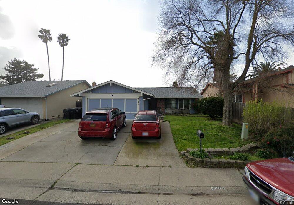
8000 Skander Way Sacramento, CA 95828
Estimated Value: $265,000 - $411,397
3
Beds
2
Baths
1,218
Sq Ft
$305/Sq Ft
Est. Value
About This Home
This home is located at 8000 Skander Way, Sacramento, CA 95828 and is currently estimated at $371,599, approximately $305 per square foot. 8000 Skander Way is a home located in Sacramento County with nearby schools including David Reese Elementary School, James Rutter Middle School, and Florin High School.
Ownership History
Date
Name
Owned For
Owner Type
Purchase Details
Closed on
May 21, 2007
Sold by
Herring James A
Bought by
Herring John A and Herring Tsukie
Current Estimated Value
Purchase Details
Closed on
Apr 3, 2007
Sold by
Herring John A and Herring Tsukie
Bought by
Herring John A and Herring Tsukie
Purchase Details
Closed on
Dec 23, 1999
Sold by
Herring John A and Herring Tsukie
Bought by
Herring John A and Herring Tsukie
Create a Home Valuation Report for This Property
The Home Valuation Report is an in-depth analysis detailing your home's value as well as a comparison with similar homes in the area
Home Values in the Area
Average Home Value in this Area
Purchase History
| Date | Buyer | Sale Price | Title Company |
|---|---|---|---|
| Herring John A | -- | None Available | |
| Herring John A | -- | None Available | |
| Herring John A | -- | Chicago Title Co |
Source: Public Records
Tax History Compared to Growth
Tax History
| Year | Tax Paid | Tax Assessment Tax Assessment Total Assessment is a certain percentage of the fair market value that is determined by local assessors to be the total taxable value of land and additions on the property. | Land | Improvement |
|---|---|---|---|---|
| 2025 | $91 | $144,168 | $31,218 | $112,950 |
| 2024 | $91 | $141,342 | $30,606 | $110,736 |
| 2023 | $91 | $138,571 | $30,006 | $108,565 |
| 2022 | $91 | $135,855 | $29,418 | $106,437 |
| 2021 | $91 | $133,192 | $28,842 | $104,350 |
| 2020 | $91 | $131,828 | $28,547 | $103,281 |
| 2019 | $91 | $129,244 | $27,988 | $101,256 |
| 2018 | $91 | $126,711 | $27,440 | $99,271 |
| 2017 | $91 | $124,227 | $26,902 | $97,325 |
| 2016 | $91 | $121,792 | $26,375 | $95,417 |
| 2015 | $91 | $119,963 | $25,979 | $93,984 |
| 2014 | $91 | $117,614 | $25,471 | $92,143 |
Source: Public Records
Map
Nearby Homes
- 7467 Power Inn Rd
- 7825 Rockhurst Way
- 7600 Clement Cir
- 8214 Moorhaven Way
- 7633 Clement Cir
- 7442 Della Cir
- 7551 Red Bud Ln
- 7413 Skander Way
- 8200 Cottonfield Way
- 8205 White Sands Way
- 7605 Mctavish Cir
- 7309 Power Inn Rd
- 8207 Wildfire Ln
- 7548 Huckleberry Ln
- 7604 Loucreta Dr
- 8212 Coed Ln
- 7451 Albezzia Ln
- 7625 Par Pkwy
- 8221 Tiki Ln
- 8227 Tiki Ln
- 8004 Skander Way
- 7928 Skander Way
- 8008 Skander Way
- 7833 Renton Way
- 7829 Renton Way
- 7837 Renton Way
- 8001 Skander Way
- 7929 Skander Way
- 7825 Renton Way
- 7920 Skander Way
- 8005 Skander Way
- 7841 Renton Way
- 7925 Skander Way
- 8012 Skander Way
- 7821 Renton Way
- 7921 Skander Way
- 7916 Skander Way
- 8016 Skander Way
- 7817 Renton Way
- 7900 Renton Way