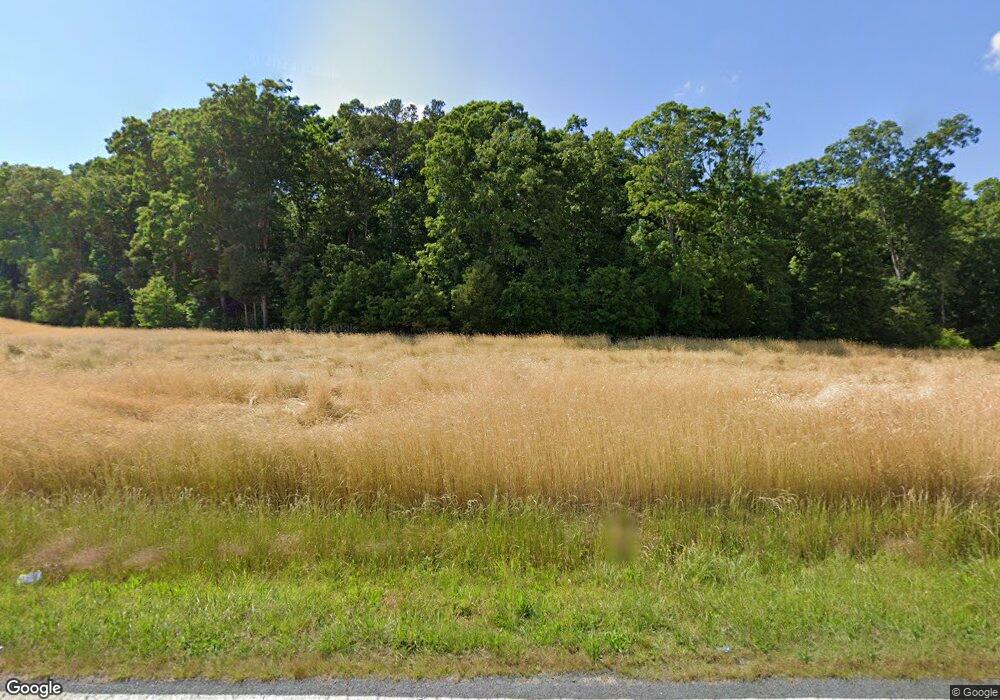
8001 Mauney Rd Mount Pleasant, NC 28124
Estimated Value: $566,475 - $788,000
4
Beds
3
Baths
2,640
Sq Ft
$244/Sq Ft
Est. Value
About This Home
This home is located at 8001 Mauney Rd, Mount Pleasant, NC 28124 and is currently estimated at $645,369, approximately $244 per square foot. 8001 Mauney Rd is a home located in Cabarrus County with nearby schools including A.T. Allen Elementary School, Mount Pleasant Middle School, and Mount Pleasant High School.
Ownership History
Date
Name
Owned For
Owner Type
Purchase Details
Closed on
Dec 23, 2009
Sold by
Stiller Howard V and Stiller Sharon M
Bought by
Walker Lee C and Sloop Sylvia
Current Estimated Value
Home Financials for this Owner
Home Financials are based on the most recent Mortgage that was taken out on this home.
Original Mortgage
$318,000
Outstanding Balance
$207,631
Interest Rate
4.92%
Mortgage Type
Purchase Money Mortgage
Estimated Equity
$437,738
Purchase Details
Closed on
Aug 1, 1989
Bought by
Stiller Howard
Create a Home Valuation Report for This Property
The Home Valuation Report is an in-depth analysis detailing your home's value as well as a comparison with similar homes in the area
Home Values in the Area
Average Home Value in this Area
Purchase History
| Date | Buyer | Sale Price | Title Company |
|---|---|---|---|
| Walker Lee C | $319,000 | None Available | |
| Stiller Howard | $125,000 | -- |
Source: Public Records
Mortgage History
| Date | Status | Borrower | Loan Amount |
|---|---|---|---|
| Open | Walker Lee C | $318,000 |
Source: Public Records
Tax History Compared to Growth
Tax History
| Year | Tax Paid | Tax Assessment Tax Assessment Total Assessment is a certain percentage of the fair market value that is determined by local assessors to be the total taxable value of land and additions on the property. | Land | Improvement |
|---|---|---|---|---|
| 2025 | $3,304 | $496,170 | $151,850 | $344,320 |
| 2024 | $3,304 | $496,170 | $151,850 | $344,320 |
| 2023 | $2,402 | $288,760 | $75,920 | $212,840 |
| 2022 | $0 | $288,760 | $75,920 | $212,840 |
| 2021 | $2,402 | $288,760 | $75,920 | $212,840 |
| 2020 | $2,402 | $288,760 | $75,920 | $212,840 |
| 2019 | $2,403 | $288,830 | $63,940 | $224,890 |
| 2018 | $2,345 | $288,830 | $63,940 | $224,890 |
| 2017 | $2,288 | $288,830 | $63,940 | $224,890 |
| 2016 | $2,288 | $290,730 | $75,920 | $214,810 |
| 2015 | -- | $290,730 | $75,920 | $214,810 |
| 2014 | -- | $290,730 | $75,920 | $214,810 |
Source: Public Records
Map
Nearby Homes
- 6865 Highway 200
- 7210 Mission Rd
- Mitchell Plan at Meadow Creek Village
- Hawthorn Plan at Meadow Creek Village
- Woodruff II Plan at Meadow Creek Village
- Kephart Plan at Meadow Creek Village
- Cardinal Plan at Meadow Creek Village
- 8129 Chilkoot Ln
- 8130 Chilkoot Ln
- 8125 Chilkoot Ln
- 8133 Chilkoot Ln
- 8126 Chilkoot Ln
- 8121 Chilkoot Ln
- 8050 Midas Ln
- 8038 Midas Ln
- 8046 Midas Ln
- 8054 Midas Ln
- 8042 Midas Ln
- 0 John Furr Rd Unit 1 CAR4096481
- 8808 Cornwall St
- 7951 Mauney Rd
- 8101 Mauney Rd
- 8063 Mauney Rd
- 8050 Mauney Rd
- 8135 Mauney Rd
- 7801 Mauney Rd
- 8175 Mauney Rd
- 7421 Nc 200 Hwy
- 7443 Nc 200 Hwy
- 8075 Mauney Rd
- 8001 Nc 200 Hwy
- 8201 Mauney Rd
- 7701 Nc Hwy 200 Hwy
- 7700 Brusharbor Rd
- 7555 Nc 200 Hwy
- 8300 Mauney Rd
- 7230 Mauney Rd
- 7825 Nc 200 Hwy
- 7311 Nc-200
- 7775 Brusharbor Rd
