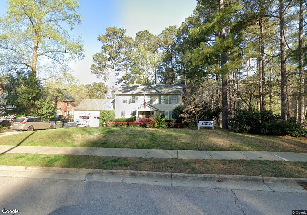
8005 Clear Brook Dr Raleigh, NC 27615
Six Forks NeighborhoodEstimated Value: $626,286 - $686,000
4
Beds
3
Baths
2,060
Sq Ft
$319/Sq Ft
Est. Value
About This Home
This home is located at 8005 Clear Brook Dr, Raleigh, NC 27615 and is currently estimated at $657,322, approximately $319 per square foot. 8005 Clear Brook Dr is a home located in Wake County with nearby schools including North Ridge Elementary School, West Millbrook Middle School, and Sanderson High School.
Ownership History
Date
Name
Owned For
Owner Type
Purchase Details
Closed on
Sep 10, 2003
Sold by
Hammersley Robert E and Hammersley Nancy L
Bought by
Wells David B and Wells Lisa K
Current Estimated Value
Home Financials for this Owner
Home Financials are based on the most recent Mortgage that was taken out on this home.
Original Mortgage
$173,600
Outstanding Balance
$76,413
Interest Rate
5.5%
Mortgage Type
Purchase Money Mortgage
Estimated Equity
$580,909
Purchase Details
Closed on
Feb 19, 2002
Sold by
Love Steven R
Bought by
Love Bonnie B
Create a Home Valuation Report for This Property
The Home Valuation Report is an in-depth analysis detailing your home's value as well as a comparison with similar homes in the area
Home Values in the Area
Average Home Value in this Area
Purchase History
| Date | Buyer | Sale Price | Title Company |
|---|---|---|---|
| Wells David B | $217,000 | -- | |
| Love Bonnie B | -- | -- |
Source: Public Records
Mortgage History
| Date | Status | Borrower | Loan Amount |
|---|---|---|---|
| Open | Wells David B | $173,600 |
Source: Public Records
Tax History Compared to Growth
Tax History
| Year | Tax Paid | Tax Assessment Tax Assessment Total Assessment is a certain percentage of the fair market value that is determined by local assessors to be the total taxable value of land and additions on the property. | Land | Improvement |
|---|---|---|---|---|
| 2025 | $5,133 | $601,777 | $240,000 | $361,777 |
| 2024 | $5,112 | $586,272 | $240,000 | $346,272 |
| 2023 | $4,260 | $389,027 | $125,000 | $264,027 |
| 2022 | $3,959 | $389,027 | $125,000 | $264,027 |
| 2021 | $3,805 | $389,027 | $125,000 | $264,027 |
| 2020 | $3,736 | $389,027 | $125,000 | $264,027 |
| 2019 | $3,946 | $338,763 | $120,000 | $218,763 |
| 2018 | $3,721 | $338,763 | $120,000 | $218,763 |
| 2017 | $3,544 | $338,763 | $120,000 | $218,763 |
| 2016 | $3,471 | $338,763 | $120,000 | $218,763 |
| 2015 | $3,434 | $329,657 | $110,000 | $219,657 |
| 2014 | -- | $329,657 | $110,000 | $219,657 |
Source: Public Records
Map
Nearby Homes
- 8112 Running Cedar Trail
- 8009 Running Cedar Trail
- 8304 Wycombe Ln
- 7412 Penny Hill Ln
- 8716 Mourning Dove Rd
- 127 Skylark Way
- 8713 Mourning Dove Rd
- 7317 Sweet Bay Ln
- 8325 Stryker Ct
- 7715 Kingsberry Ct
- 747 Weathergreen Dr
- 7731 Kingsberry Ct
- 7719 Kelley Ct Unit 314E
- 7320 Sandy Creek Dr
- 204 Bracken Ct
- 7305 Sandy Creek Dr Unit O4
- 213 Bracken Ct
- 232 Wetherburn Ln
- 301 Dwellinghouse Ct
- 8305 Society Place
- 8001 Misty Dawn Place
- 8005 Misty Dawn Place
- 8004 Old Deer Trail
- 8004 Clear Brook Dr
- 8008 Clear Brook Dr
- 8009 Misty Dawn Place
- 7916 Old Deer Trail
- 8012 Clear Brook Dr
- 8005 Old Deer Trail
- 8009 Old Deer Trail
- 8101 Clear Brook Dr
- 8001 Old Deer Trail
- 8100 Clear Brook Dr
- 8012 Misty Dawn Place
- 7917 Old Deer Trail
- 8004 Misty Dawn Place
- 7912 Old Deer Trail
- 8008 Misty Dawn Place
- 8104 Clear Brook Dr
- 8105 Clear Brook Dr