801 Colorado Dr Newark, DE 19713
Estimated Value: $624,731 - $683,000
4
Beds
3
Baths
2,237
Sq Ft
$293/Sq Ft
Est. Value
About This Home
This home is located at 801 Colorado Dr, Newark, DE 19713 and is currently estimated at $655,933, approximately $293 per square foot. 801 Colorado Dr is a home located in New Castle County with nearby schools including West Park Place Elementary School, Shue-Medill Middle School, and Newark High School.
Ownership History
Date
Name
Owned For
Owner Type
Purchase Details
Closed on
Oct 4, 2007
Sold by
Benchmark Builders Inc
Bought by
Worner John and Worner Sandra
Current Estimated Value
Home Financials for this Owner
Home Financials are based on the most recent Mortgage that was taken out on this home.
Original Mortgage
$408,000
Outstanding Balance
$259,759
Interest Rate
6.59%
Mortgage Type
Purchase Money Mortgage
Estimated Equity
$396,174
Purchase Details
Closed on
Jun 28, 2006
Sold by
Magness Construction Co
Bought by
Benchmark Builders Inc
Create a Home Valuation Report for This Property
The Home Valuation Report is an in-depth analysis detailing your home's value as well as a comparison with similar homes in the area
Home Values in the Area
Average Home Value in this Area
Purchase History
| Date | Buyer | Sale Price | Title Company |
|---|---|---|---|
| Worner John | $510,865 | None Available | |
| Benchmark Builders Inc | $3,686,000 | None Available |
Source: Public Records
Mortgage History
| Date | Status | Borrower | Loan Amount |
|---|---|---|---|
| Open | Worner John | $408,000 |
Source: Public Records
Tax History Compared to Growth
Tax History
| Year | Tax Paid | Tax Assessment Tax Assessment Total Assessment is a certain percentage of the fair market value that is determined by local assessors to be the total taxable value of land and additions on the property. | Land | Improvement |
|---|---|---|---|---|
| 2024 | $4,610 | $116,100 | $14,200 | $101,900 |
| 2023 | $4,489 | $116,100 | $14,200 | $101,900 |
| 2022 | $4,460 | $116,100 | $14,200 | $101,900 |
| 2021 | $167 | $116,100 | $14,200 | $101,900 |
| 2020 | $167 | $116,100 | $14,200 | $101,900 |
| 2019 | $167 | $116,100 | $14,200 | $101,900 |
| 2018 | $3,710 | $116,100 | $14,200 | $101,900 |
| 2017 | $3,571 | $116,100 | $14,200 | $101,900 |
| 2016 | $3,434 | $116,100 | $14,200 | $101,900 |
| 2015 | -- | $116,100 | $14,200 | $101,900 |
| 2014 | $3,111 | $116,100 | $14,200 | $101,900 |
Source: Public Records
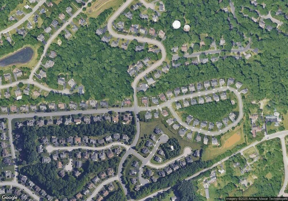
Map
Nearby Homes
- 84 Welsh Tract Rd Unit 311
- 80 Welsh Tract Rd Unit 112
- 80 Welsh Tract Rd Unit 209
- 57 Gypsum Dr Unit 195
- 60 Welsh Tract Rd Unit 206
- 23 Maple Dr Unit 16
- 44 Cornwall Dr
- 12 Pleasantwood Rd
- 22 Buttonbush Ct
- 72 Mule Deer Ct
- 14 Apple Ln
- 25 Glyn Dr
- 800 Kenyon Ln
- 112 Azalea Cir
- 19 Alwyn Rd
- 30 Palo Ln
- 779 Chestnut Hill Rd
- 55 Sanford Dr
- 302 Edjil Dr
- 30 Bobby Dr
- 803 Colorado Dr
- 201 University Dr
- 800 Colorado Dr
- 41 Ohio State Dr
- 805 Colorado Dr
- 203 University Dr
- 802 Colorado Dr
- 40 Ohio State Dr
- 804 Colorado Dr
- 807 Colorado Dr
- 205 University Dr
- 37 Ohio State Dr
- 202 University Dr
- 38 Ohio State Dr
- 847 Colorado Dr
- 809 Colorado Dr
- 204 University Dr
- 607 Georgetown Ct
- 808 Colorado Dr
- 35 Ohio State Dr