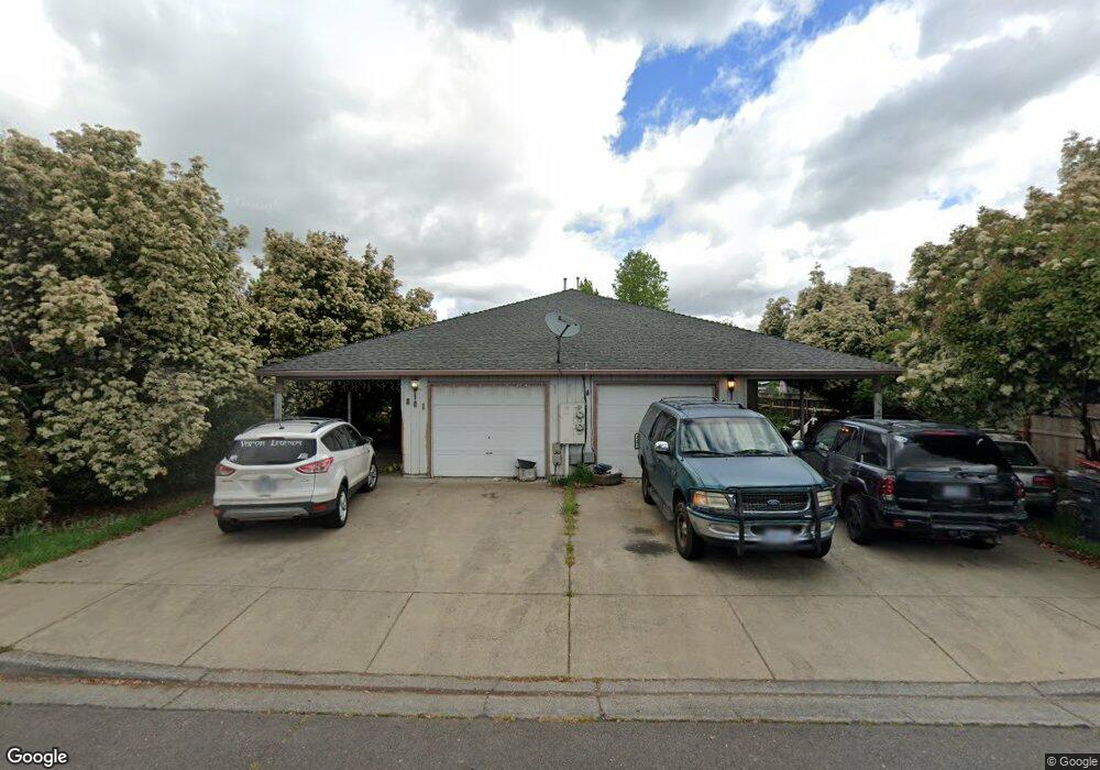
801 Columbine Way Central Point, OR 97502
Estimated Value: $439,886 - $536,000
4
Beds
4
Baths
2,112
Sq Ft
$235/Sq Ft
Est. Value
About This Home
This home is located at 801 Columbine Way, Central Point, OR 97502 and is currently estimated at $496,972, approximately $235 per square foot. 801 Columbine Way is a home located in Jackson County with nearby schools including Central Point Elementary School, Scenic Middle School, and Crater High School.
Ownership History
Date
Name
Owned For
Owner Type
Purchase Details
Closed on
Sep 22, 2005
Sold by
Kodak Philip A and Kodak Kathleen A
Bought by
Kodak Kathleen A
Current Estimated Value
Purchase Details
Closed on
Sep 7, 2005
Sold by
Kodak Kathleen A
Bought by
Jardim Francisco and Jardim Conny
Purchase Details
Closed on
Apr 25, 2005
Sold by
Kodak Philip A
Bought by
Kodak Kathleen A
Create a Home Valuation Report for This Property
The Home Valuation Report is an in-depth analysis detailing your home's value as well as a comparison with similar homes in the area
Home Values in the Area
Average Home Value in this Area
Purchase History
| Date | Buyer | Sale Price | Title Company |
|---|---|---|---|
| Kodak Kathleen A | -- | Amerititle | |
| Jardim Francisco | -- | Amerititle | |
| Kodak Kathleen A | -- | -- |
Source: Public Records
Tax History Compared to Growth
Tax History
| Year | Tax Paid | Tax Assessment Tax Assessment Total Assessment is a certain percentage of the fair market value that is determined by local assessors to be the total taxable value of land and additions on the property. | Land | Improvement |
|---|---|---|---|---|
| 2025 | $5,242 | $272,460 | $70,010 | $202,450 |
| 2024 | $5,242 | $264,530 | $67,970 | $196,560 |
| 2023 | $5,056 | $256,830 | $65,990 | $190,840 |
| 2022 | $4,926 | $256,830 | $65,990 | $190,840 |
| 2021 | $4,684 | $249,350 | $64,070 | $185,280 |
| 2020 | $4,590 | $242,090 | $62,200 | $179,890 |
| 2019 | $4,511 | $228,200 | $58,630 | $169,570 |
| 2018 | $4,028 | $221,560 | $56,920 | $164,640 |
| 2017 | $3,723 | $221,560 | $56,920 | $164,640 |
| 2016 | $3,614 | $208,850 | $53,640 | $155,210 |
| 2015 | $3,463 | $208,850 | $53,640 | $155,210 |
| 2014 | $3,375 | $196,870 | $50,560 | $146,310 |
Source: Public Records
Map
Nearby Homes
- 928 Brandi Way
- 571 Briarwood Dr
- 851 Juanita Way
- 1060 Hopkins Rd
- 921 Pittview Ave
- 301 Freeman Rd Unit 100
- 301 Freeman Rd Unit 23
- 301 Freeman Rd Unit 85
- 1017 Fairfield Ave
- 1025 Fairfield Ave
- 230 Peninger Rd
- 555 Freeman Rd Unit 128
- 555 Freeman Rd Unit 146
- 555 Freeman Rd Unit 204
- 555 Freeman Rd Unit 209
- 3496 Edella St
- 1600 E Pine St
- 840 Ash St
- 531 Bush St
- 340 Freeman Rd
- 797 Columbine Way
- 821 Columbine Way
- 797 Columbine 799 Way
- 825 Columbine Way
- 787 Columbine Way
- 787 Columbine 789 Way
- 820 Columbine Way
- 827 Columbine Way
- 790 Columbine Way
- 831 Columbine Way
- 501 Mountain View Dr
- 783 Columbine Way
- 516 Primrose Dr
- 783 Columbine 785 Way
- 833 Columbine Way
- 513 Primrose Dr
- 503 Mountain View Dr
- 513 Primrose 515 Dr
- 782 Columbine Way
- 837 Columbine Way