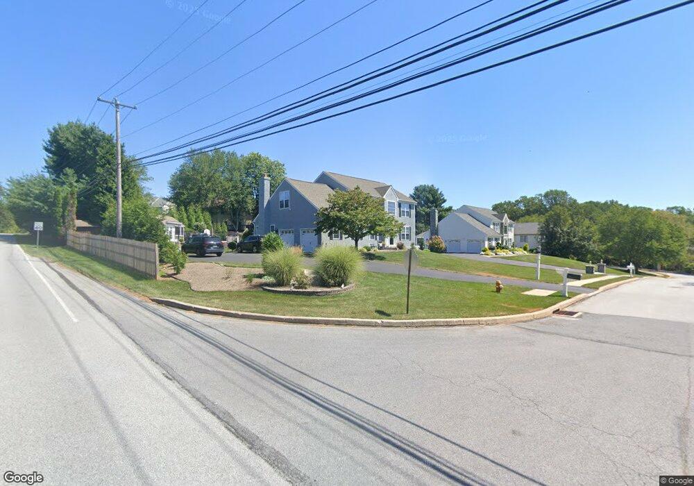
801 Country Rd Downingtown, PA 19335
Estimated Value: $760,640 - $821,000
4
Beds
3
Baths
2,679
Sq Ft
$293/Sq Ft
Est. Value
About This Home
This home is located at 801 Country Rd, Downingtown, PA 19335 and is currently estimated at $784,160, approximately $292 per square foot. 801 Country Rd is a home located in Chester County with nearby schools including Shamona Creek Elementary School, Downingtown Middle School, and Downingtown High School West.
Ownership History
Date
Name
Owned For
Owner Type
Purchase Details
Closed on
Apr 30, 1997
Sold by
Second Markland Corp
Bought by
Kenny Thomas J and Kenny Maria A
Current Estimated Value
Home Financials for this Owner
Home Financials are based on the most recent Mortgage that was taken out on this home.
Original Mortgage
$85,000
Outstanding Balance
$11,491
Interest Rate
7.85%
Estimated Equity
$772,669
Create a Home Valuation Report for This Property
The Home Valuation Report is an in-depth analysis detailing your home's value as well as a comparison with similar homes in the area
Home Values in the Area
Average Home Value in this Area
Purchase History
| Date | Buyer | Sale Price | Title Company |
|---|---|---|---|
| Kenny Thomas J | $246,000 | -- |
Source: Public Records
Mortgage History
| Date | Status | Borrower | Loan Amount |
|---|---|---|---|
| Open | Kenny Thomas J | $85,000 |
Source: Public Records
Tax History Compared to Growth
Tax History
| Year | Tax Paid | Tax Assessment Tax Assessment Total Assessment is a certain percentage of the fair market value that is determined by local assessors to be the total taxable value of land and additions on the property. | Land | Improvement |
|---|---|---|---|---|
| 2025 | $8,510 | $248,630 | $47,640 | $200,990 |
| 2024 | $8,510 | $248,630 | $47,640 | $200,990 |
| 2023 | $8,262 | $248,630 | $47,640 | $200,990 |
| 2022 | $8,055 | $248,630 | $47,640 | $200,990 |
| 2021 | $7,920 | $248,630 | $47,640 | $200,990 |
| 2020 | $7,874 | $248,630 | $47,640 | $200,990 |
| 2019 | $7,874 | $248,630 | $47,640 | $200,990 |
| 2018 | $7,874 | $248,630 | $47,640 | $200,990 |
| 2017 | $7,874 | $248,630 | $47,640 | $200,990 |
| 2016 | $7,427 | $248,630 | $47,640 | $200,990 |
| 2015 | $7,427 | $248,630 | $47,640 | $200,990 |
| 2014 | $7,427 | $248,630 | $47,640 | $200,990 |
Source: Public Records
Map
Nearby Homes
- 475 Shelmire Rd
- 104 Bill of Rights Ln
- 3 Dowlin Forge Rd
- 526 Larkins Bridge Dr
- 637 Huntington Dr
- 800 Dowlin Forge Rd
- 602 Wexford Ave
- 1506 Cricket Ln
- 574 Gramercy Ln Unit 32
- 406 Harbour Ridge Ln
- 109 Driftwood Ln
- 320 Dawson Place
- 530 Park Rd
- 509 Ferncastle Dr
- 502 Langford Dr
- 111 Conreys Way
- 780 N Reeds Rd
- 141 Crawford Rd
- 281 Woodland Dr
- 110 Crawford Rd
- 803 Country Rd
- 103 Morning Side Cir
- 800 Country Rd
- 812 Robert Dean Dr
- 810 Robert Dean Dr
- 802 Country Rd
- 620 Dorlan Mill Rd
- 105 Morning Side Cir
- 610 Dorlan Mill Rd
- 101 Morning Side Cir
- 814 Robert Dean Dr
- 650 Dorlan Mill Rd
- 102 Henry Acker Cir
- 100 Henry Acker Cir
- 819 Robert Dean Dr
- 104 Morning Side Cir
- 600 Dorlan Mill Rd
- 104 Henry Acker Cir
- 817 Robert Dean Dr
- 821 Robert Dean Dr