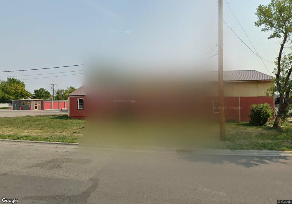
801 E Main St Laurel, MT 59044
Estimated Value: $345,000
1
Bed
1
Bath
--
Sq Ft
10,934
Sq Ft Lot
About This Home
This home is located at 801 E Main St, Laurel, MT 59044 and is currently estimated at $345,000. 801 E Main St is a home located in Yellowstone County with nearby schools including Fred W. Graff School, West School, and Laurel Middle School.
Ownership History
Date
Name
Owned For
Owner Type
Purchase Details
Closed on
Apr 28, 2022
Sold by
Investment Properties Finance Group Llc
Bought by
Placid Rentals Llc
Current Estimated Value
Purchase Details
Closed on
Jan 8, 2021
Sold by
Torres Joel A and Torres Mabel
Bought by
Invest Properties Fin Group Ll
Home Financials for this Owner
Home Financials are based on the most recent Mortgage that was taken out on this home.
Interest Rate
2.65%
Purchase Details
Closed on
May 27, 2005
Sold by
Foos Clarence A and Foos Naomi R
Bought by
Torres Joel and Torres Mabel
Create a Home Valuation Report for This Property
The Home Valuation Report is an in-depth analysis detailing your home's value as well as a comparison with similar homes in the area
Home Values in the Area
Average Home Value in this Area
Purchase History
| Date | Buyer | Sale Price | Title Company |
|---|---|---|---|
| Placid Rentals Llc | -- | None Listed On Document | |
| Invest Properties Fin Group Ll | -- | -- | |
| Torres Joel | -- | None Available |
Source: Public Records
Mortgage History
| Date | Status | Borrower | Loan Amount |
|---|---|---|---|
| Previous Owner | Invest Properties Fin Group Ll | -- |
Source: Public Records
Tax History
| Year | Tax Paid | Tax Assessment Tax Assessment Total Assessment is a certain percentage of the fair market value that is determined by local assessors to be the total taxable value of land and additions on the property. | Land | Improvement |
|---|---|---|---|---|
| 2025 | $3,397 | $263,900 | $67,768 | $196,132 |
| 2024 | $3,397 | $235,700 | $57,608 | $178,092 |
| 2023 | $3,143 | $235,700 | $57,608 | $178,092 |
| 2022 | $2,385 | $161,700 | $0 | $0 |
| 2021 | $2,404 | $161,700 | $0 | $0 |
| 2020 | $2,587 | $187,600 | $0 | $0 |
| 2019 | $2,715 | $187,600 | $0 | $0 |
| 2018 | $2,959 | $197,200 | $0 | $0 |
| 2017 | $2,781 | $197,200 | $0 | $0 |
| 2016 | $2,539 | $180,100 | $0 | $0 |
| 2015 | $2,511 | $180,100 | $0 | $0 |
| 2014 | $1,759 | $85,722 | $0 | $0 |
Source: Public Records
Map
Nearby Homes
- 801 E 4th St
- 717 E 5th St
- 717 E 5th, 506 Alder Ave
- 601 E 5th St
- 414 Wyoming Ave
- 605 Date Ave
- 516 Pennsylvania Ave
- 1104 E 8th St
- 1108 E 8th St
- 110 E 5th St
- 1031 Fir Ave
- 116 4th Ave
- 603 5th Ave
- 409 Maple Ave
- 211 Woodland Ave
- 319 6th Ave
- 120 Forrest Ave
- 419 Durland Ave
- 310 (and 814 w 4) 8th Ave
- 102 8th Ave Unit B
Your Personal Tour Guide
Ask me questions while you tour the home.