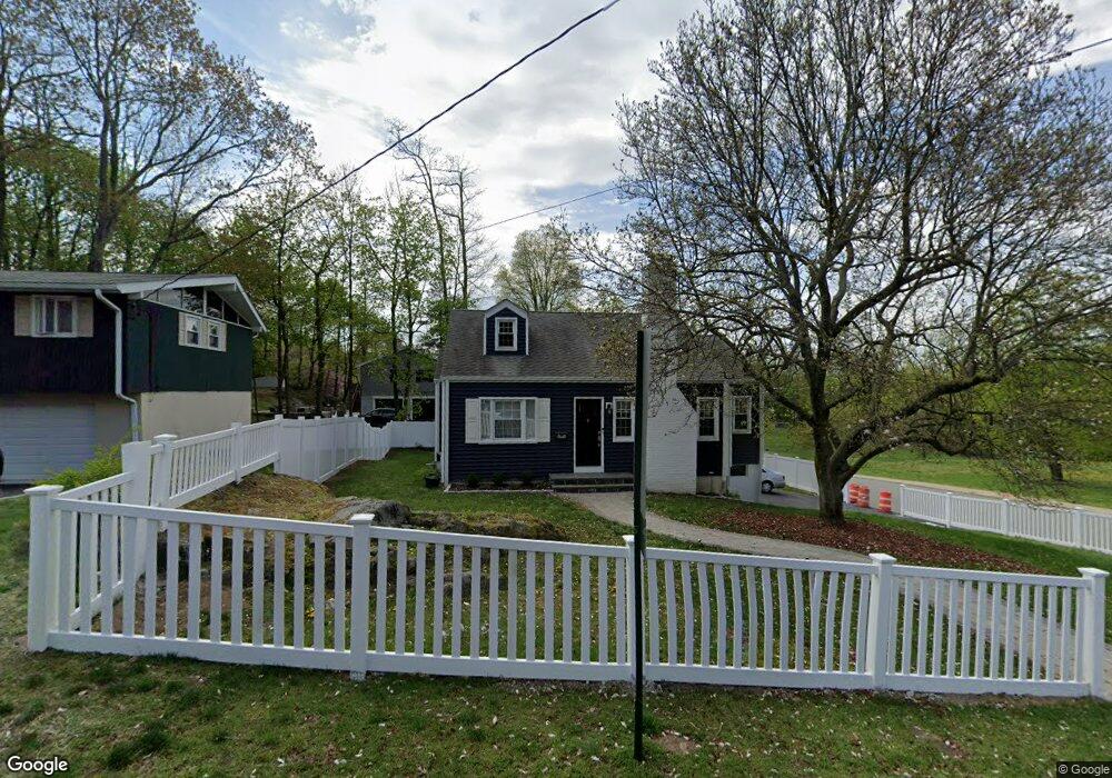
801 Franklin St Peekskill, NY 10566
Estimated Value: $532,327 - $606,000
3
Beds
2
Baths
1,292
Sq Ft
$434/Sq Ft
Est. Value
About This Home
This home is located at 801 Franklin St, Peekskill, NY 10566 and is currently estimated at $560,832, approximately $434 per square foot. 801 Franklin St is a home located in Westchester County with nearby schools including Woodside Elementary School, Oakside School, and Hillcrest School.
Ownership History
Date
Name
Owned For
Owner Type
Purchase Details
Closed on
Oct 24, 2017
Sold by
Riwin Cynthia A
Bought by
Alexander Thomas
Current Estimated Value
Home Financials for this Owner
Home Financials are based on the most recent Mortgage that was taken out on this home.
Original Mortgage
$248,000
Outstanding Balance
$206,927
Interest Rate
3.78%
Mortgage Type
New Conventional
Estimated Equity
$353,905
Purchase Details
Closed on
Dec 10, 2007
Sold by
Pagano Anthony and Irwin Cynthia A
Bought by
Irwin Cynthia A
Create a Home Valuation Report for This Property
The Home Valuation Report is an in-depth analysis detailing your home's value as well as a comparison with similar homes in the area
Home Values in the Area
Average Home Value in this Area
Purchase History
| Date | Buyer | Sale Price | Title Company |
|---|---|---|---|
| Alexander Thomas | $310,000 | Benchmark Title Agency Llc | |
| Irwin Cynthia A | -- | None Available |
Source: Public Records
Mortgage History
| Date | Status | Borrower | Loan Amount |
|---|---|---|---|
| Open | Alexander Thomas | $248,000 |
Source: Public Records
Tax History
| Year | Tax Paid | Tax Assessment Tax Assessment Total Assessment is a certain percentage of the fair market value that is determined by local assessors to be the total taxable value of land and additions on the property. | Land | Improvement |
|---|---|---|---|---|
| 2024 | $11,944 | $9,600 | $1,900 | $7,700 |
| 2023 | $11,752 | $9,600 | $1,900 | $7,700 |
| 2022 | $11,519 | $9,600 | $1,900 | $7,700 |
| 2021 | $11,279 | $9,600 | $1,900 | $7,700 |
| 2020 | $11,062 | $9,600 | $1,900 | $7,700 |
| 2019 | $10,676 | $9,600 | $1,900 | $7,700 |
| 2018 | $1,929 | $9,600 | $1,900 | $7,700 |
| 2017 | $0 | $9,600 | $1,900 | $7,700 |
| 2016 | $7,538 | $9,600 | $1,900 | $7,700 |
| 2015 | -- | $9,600 | $1,900 | $7,700 |
| 2014 | $1,735 | $9,600 | $1,900 | $7,700 |
| 2013 | $1,735 | $9,600 | $1,900 | $7,700 |
Source: Public Records
Map
Nearby Homes
- 616 Union Ave
- 612 Ringgold St
- 530 Dyckman St
- 357 Dyckman St
- 334 Union Ave
- 728 Frost Ave
- 16 Waterview Estate
- 112 Riverbend Dr
- 414 Highridge Ct
- 213 Riverbend Dr
- 114 Viewpoint Terrace
- 223 Viewpoint Terrace
- 108 Union Ave
- 710 Main St
- 1204 Main St
- 956 Paulding St
- 118 Underhill Ln
- 1463 Lincoln Terrace
- 974 Main St
- 2023 Old Maple Ave
Your Personal Tour Guide
Ask me questions while you tour the home.