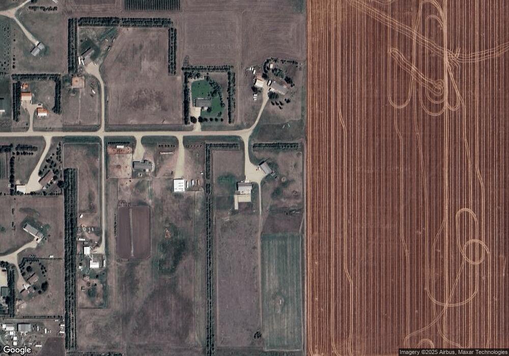
801 Joann Rd Pierre, SD 57501
Estimated Value: $407,000 - $608,252
5
Beds
3
Baths
1,428
Sq Ft
$340/Sq Ft
Est. Value
About This Home
This home is located at 801 Joann Rd, Pierre, SD 57501 and is currently estimated at $486,063, approximately $340 per square foot. 801 Joann Rd is a home with nearby schools including T.F. Riggs High School.
Ownership History
Date
Name
Owned For
Owner Type
Purchase Details
Closed on
Dec 30, 2010
Sold by
Lee Robert Brent and Lee Robert B
Bought by
Skinner Thomas J and Skinner Vanita B
Current Estimated Value
Purchase Details
Closed on
Apr 24, 2009
Sold by
Hand Rocky D and Hand Talia M
Bought by
Lee Robert Brent and Lee Amy K
Home Financials for this Owner
Home Financials are based on the most recent Mortgage that was taken out on this home.
Original Mortgage
$207,000
Interest Rate
4.85%
Purchase Details
Closed on
Mar 4, 2008
Sold by
Ludemann Dustin and Ludemann Kasey
Bought by
Hand Rocky D and Hand Talia M
Home Financials for this Owner
Home Financials are based on the most recent Mortgage that was taken out on this home.
Original Mortgage
$270,000
Interest Rate
5.79%
Create a Home Valuation Report for This Property
The Home Valuation Report is an in-depth analysis detailing your home's value as well as a comparison with similar homes in the area
Purchase History
| Date | Buyer | Sale Price | Title Company |
|---|---|---|---|
| Skinner Thomas J | $250,000 | -- | |
| Lee Robert Brent | $229,000 | -- | |
| Hand Rocky D | $55,000 | -- |
Source: Public Records
Mortgage History
| Date | Status | Borrower | Loan Amount |
|---|---|---|---|
| Previous Owner | Lee Robert Brent | $207,000 | |
| Previous Owner | Hand Rocky D | $270,000 |
Source: Public Records
Tax History
| Year | Tax Paid | Tax Assessment Tax Assessment Total Assessment is a certain percentage of the fair market value that is determined by local assessors to be the total taxable value of land and additions on the property. | Land | Improvement |
|---|---|---|---|---|
| 2025 | $4,515 | $506,695 | $87,240 | $419,455 |
| 2024 | $4,508 | $467,063 | $80,416 | $386,647 |
| 2023 | $4,155 | $454,170 | $76,953 | $377,217 |
| 2022 | $3,718 | $384,889 | $65,214 | $319,675 |
| 2021 | $3,586 | $326,177 | $55,266 | $270,911 |
| 2020 | $3,619 | $316,676 | $53,656 | $263,020 |
| 2019 | $3,636 | $316,676 | $53,656 | $263,020 |
| 2018 | $3,538 | $301,596 | $51,101 | $250,495 |
| 2017 | -- | $292,812 | $49,613 | $243,199 |
| 2016 | $3,577 | $292,812 | $49,613 | $243,199 |
| 2015 | -- | $265,589 | $45,000 | $220,589 |
| 2014 | -- | $250,827 | $40,742 | $210,085 |
| 2013 | -- | $250,827 | $40,742 | $210,085 |
| 2011 | -- | $220,207 | $40,742 | $179,465 |
Source: Public Records
Map
Nearby Homes
- 110 E Mccabe Place
- 28866 Merry Rd
- 0 Str 24 Unit 25-201
- TBD Golden Meadow Ln
- Lot 21 Golden Meadows Ln
- 0 Str 25 Unit 25-209
- 28884 Puckett St
- Lot 35 Falcon Ridge Rd
- Lot 3 Falcon Ridge Rd
- 0 Tbd 203rd St St
- 2821 Oxford Ct
- 6228/6229 Hwy 1804
- 0 Brookstone Lp
- 1912 Brighton Ct
- 310 Country Dr
- 1814 Camden Ct
- 2800 Benjamin St
- 2222 Stratford Place
- 201 Rousseau Ave
- 1425 Edgewater Dr
Your Personal Tour Guide
Ask me questions while you tour the home.
