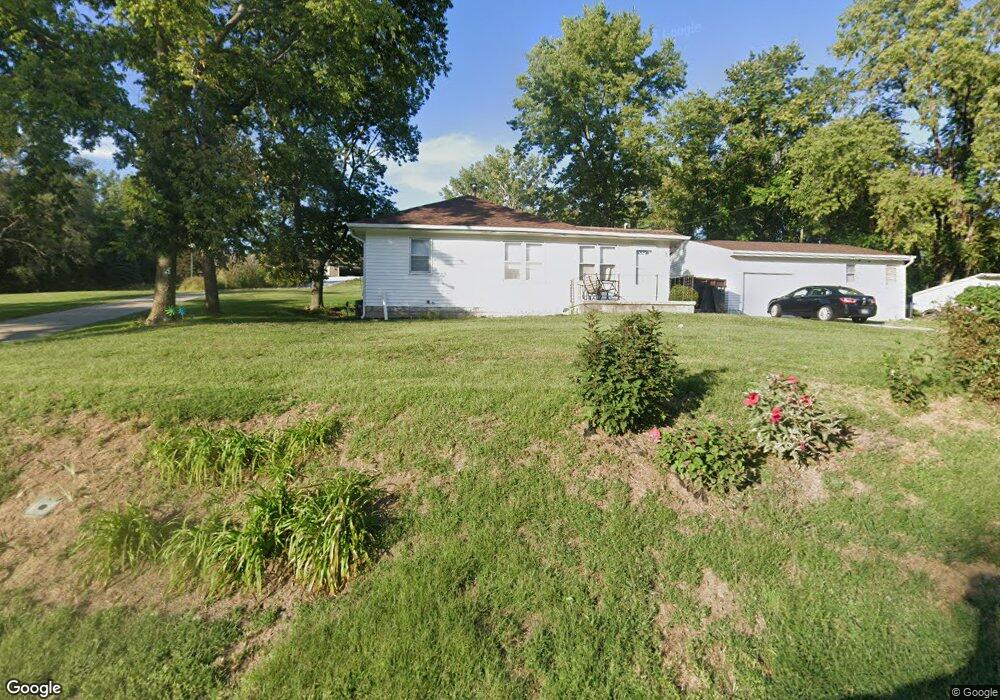
801 Mckenzie Ave Council Bluffs, IA 51503
McKenzie Avenue NeighborhoodEstimated Value: $235,000 - $296,000
2
Beds
1
Bath
1,008
Sq Ft
$252/Sq Ft
Est. Value
About This Home
This home is located at 801 Mckenzie Ave, Council Bluffs, IA 51503 and is currently estimated at $253,573, approximately $251 per square foot. 801 Mckenzie Ave is a home located in Pottawattamie County with nearby schools including College View Elementary School, Gerald W. Kirn Middle School, and Abraham Lincoln High School.
Ownership History
Date
Name
Owned For
Owner Type
Purchase Details
Closed on
Sep 9, 2024
Sold by
Ellis Alan M and Ellis Tedette L
Bought by
Alan M Ellis And Tedette L Ellis Trust and Ellis
Current Estimated Value
Purchase Details
Closed on
May 8, 2013
Sold by
Ellis Tedette L and Ellis Alan M
Bought by
Howell Lopez Ember L
Purchase Details
Closed on
Dec 27, 2012
Sold by
Heuwinkel Robin L and Heuwinkel Ronald H
Bought by
Ellis Tedette L
Purchase Details
Closed on
Oct 29, 2012
Sold by
Warren Dennis W
Bought by
Ellis Tedette L
Purchase Details
Closed on
Oct 4, 2006
Sold by
Howell Lola D
Bought by
Ellis Alan M and Ellis Tedette L
Home Financials for this Owner
Home Financials are based on the most recent Mortgage that was taken out on this home.
Original Mortgage
$119,400
Interest Rate
6.49%
Mortgage Type
Seller Take Back
Create a Home Valuation Report for This Property
The Home Valuation Report is an in-depth analysis detailing your home's value as well as a comparison with similar homes in the area
Home Values in the Area
Average Home Value in this Area
Purchase History
| Date | Buyer | Sale Price | Title Company |
|---|---|---|---|
| Alan M Ellis And Tedette L Ellis Trust | -- | None Listed On Document | |
| Howell Lopez Ember L | -- | None Available | |
| Ellis Tedette L | -- | None Available | |
| Ellis Tedette L | -- | None Available | |
| Ellis Alan M | -- | None Available | |
| Ellis Alan M | $120,000 | None Available |
Source: Public Records
Mortgage History
| Date | Status | Borrower | Loan Amount |
|---|---|---|---|
| Previous Owner | Ellis Alan M | $119,400 |
Source: Public Records
Tax History Compared to Growth
Tax History
| Year | Tax Paid | Tax Assessment Tax Assessment Total Assessment is a certain percentage of the fair market value that is determined by local assessors to be the total taxable value of land and additions on the property. | Land | Improvement |
|---|---|---|---|---|
| 2025 | $4,286 | $255,100 | $93,800 | $161,300 |
| 2024 | $4,286 | $212,800 | $81,500 | $131,300 |
| 2023 | $4,242 | $212,800 | $81,500 | $131,300 |
| 2022 | $3,154 | $134,400 | $45,700 | $88,700 |
| 2021 | $4,832 | $134,400 | $45,700 | $88,700 |
| 2020 | $2,948 | $134,400 | $45,700 | $88,700 |
| 2019 | $3,052 | $118,700 | $30,000 | $88,700 |
| 2018 | $2,994 | $118,700 | $30,000 | $88,700 |
| 2017 | $2,930 | $114,912 | $22,074 | $92,838 |
| 2015 | $2,866 | $114,912 | $22,074 | $92,838 |
| 2014 | $2,870 | $114,912 | $22,074 | $92,838 |
Source: Public Records
Map
Nearby Homes
- 944 Mckenzie Ave
- 1011 Simms Ave
- 627 Spencer Ave
- 638 Simms Ave
- 500 Spencer Ave
- 407 Spencer Ave
- 401 Spencer Ave
- 440 Simms Ave
- 415 Midland Dr
- 162 N Linden Ave
- 155 S Linden Ave
- 212 Highland Dr
- 242 Elmwood Dr
- 116 Spencer Ave
- 2231 N Broadway
- 1.12 AC Railroad Ave & Hwy 6
- 118 Euclid Ave
- 222 Locust Lodge Ave
- 1553 N Broadway
- 18267 Northline Dr
- 717 Mckenzie Ave
- 804 Mckenzie Ave
- 803 Mckenzie Ave
- 715 Mckenzie Ave
- 807 Mckenzie Ave
- 732 Mckenzie Ave
- 124 Mckenzie Cir
- 122 Mckenzie Cir
- 126 Mckenzie Cir
- 120 Mckenzie Cir
- 816 Mckenzie Ave
- 118 Mckenzie Cir
- 728 Mckenzie Ave
- 116 Mckenzie Cir
- 100 Fox Haven Dr
- 114 Mckenzie Cir
- 820 Mckenzie Ave
- 820 Mckenzie Ave
- 112 Mckenzie Cir
- 128 Mckenzie Cir