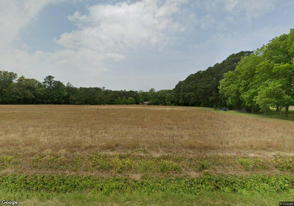
801 Milford Ln Suffolk, VA 23434
Holy Neck NeighborhoodEstimated Value: $489,000 - $631,224
5
Beds
3
Baths
2,692
Sq Ft
$209/Sq Ft
Est. Value
About This Home
This home is located at 801 Milford Ln, Suffolk, VA 23434 and is currently estimated at $562,806, approximately $209 per square foot. 801 Milford Ln is a home located in Suffolk City with nearby schools including Southwestern Elementary School, King's Fork Middle School, and King's Fork High School.
Ownership History
Date
Name
Owned For
Owner Type
Purchase Details
Closed on
Jan 22, 2019
Sold by
Marcinlak Michael D
Bought by
Confer Denis and Confer Cynthia
Current Estimated Value
Purchase Details
Closed on
Nov 16, 2011
Sold by
Donahue James J
Bought by
Marciniak Michael D
Home Financials for this Owner
Home Financials are based on the most recent Mortgage that was taken out on this home.
Original Mortgage
$236,460
Interest Rate
3.92%
Mortgage Type
New Conventional
Create a Home Valuation Report for This Property
The Home Valuation Report is an in-depth analysis detailing your home's value as well as a comparison with similar homes in the area
Home Values in the Area
Average Home Value in this Area
Purchase History
| Date | Buyer | Sale Price | Title Company |
|---|---|---|---|
| Confer Denis | $281,000 | Attorney | |
| Marciniak Michael D | $337,800 | -- |
Source: Public Records
Mortgage History
| Date | Status | Borrower | Loan Amount |
|---|---|---|---|
| Previous Owner | Marciniak Michael D | $236,460 |
Source: Public Records
Tax History Compared to Growth
Tax History
| Year | Tax Paid | Tax Assessment Tax Assessment Total Assessment is a certain percentage of the fair market value that is determined by local assessors to be the total taxable value of land and additions on the property. | Land | Improvement |
|---|---|---|---|---|
| 2024 | $5,375 | $465,600 | $99,600 | $366,000 |
| 2023 | $5,375 | $470,000 | $115,100 | $354,900 |
| 2022 | $4,491 | $412,000 | $114,100 | $297,900 |
| 2021 | $4,056 | $365,400 | $114,100 | $251,300 |
| 2020 | $3,863 | $348,000 | $114,100 | $233,900 |
| 2019 | $4,422 | $398,400 | $114,100 | $284,300 |
| 2018 | $4,192 | $382,700 | $95,800 | $286,900 |
| 2017 | $3,983 | $372,200 | $95,800 | $276,400 |
| 2016 | $3,867 | $361,400 | $95,800 | $265,600 |
| 2015 | $1,874 | $361,400 | $95,800 | $265,600 |
| 2014 | $1,874 | $341,500 | $75,900 | $265,600 |
Source: Public Records
Map
Nearby Homes
- 812 Milford Ln
- 824 Milford Ln
- 4650 Deer Path Rd
- 4937 Deer Path Rd
- 1325 Buckhorn Dr
- 2657 Joshua Ln
- 3140 Deer Path Rd
- 785 Chappell Dr
- 3320 Holland Rd
- 3240 Holland Rd
- 3316 Holland Rd
- .51ac Holland Rd
- 1434 Lake Meade Dr
- 3209 Holland Rd
- 3905 Holland Rd
- 2285 Kings Fork Rd
- 17 Mulligan Ln
- 14 Mulligan Ln
- 5 Mulligan Ln
- 113 Fairfield Ave
- 780 Milford Ln
- 5049 Indian Trail
- 800 Milford Ln
- 776 Milford Ln
- 764 Milford Ln
- 813 Milford Ln
- 705 Milford Ln
- 5000 Indian Trail
- 5085 Indian Trail
- 600 Milford Ln
- 595 Milford Ln
- 596 Milford Ln
- 4969 Indian Trail
- 5175 Indian Trail
- 4965 Indian Trail
- 5121 Indian Trail
- 592 Milford Ln
- 587 Milford Ln
- 4945 Indian Trail
- 5171 Indian Trail
