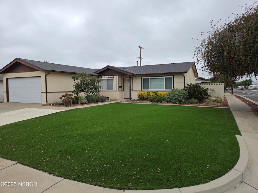

801 W Airport Ave Lompoc, CA 93436
Estimated payment $2,786/month
Highlights
- Corner Lot
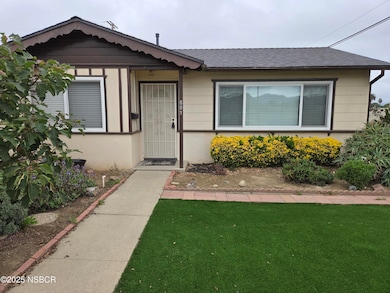
- Covered Patio or Porch
- 2 Car Attached Garage
- No HOA
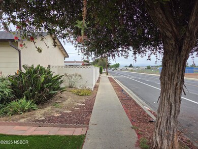
- Fenced Yard
- Double Pane Windows
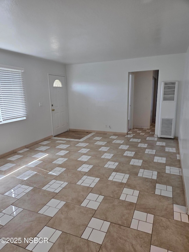
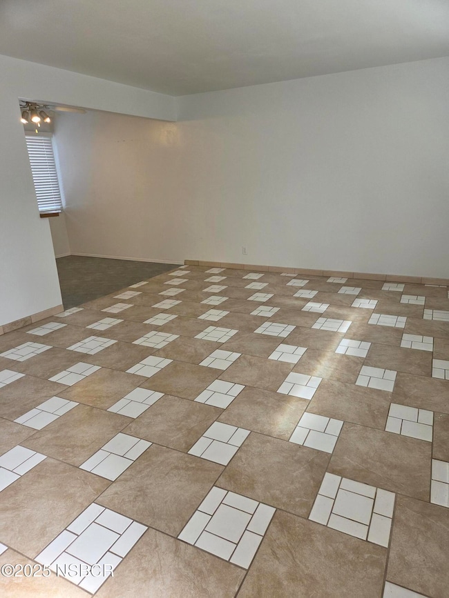
About This Home
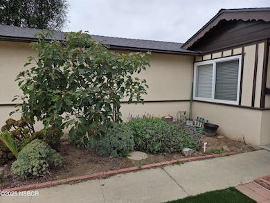
Desirable corner location on this 3 bedroom 2 bath west side 1,090 square foot home located across from Lompoc High School ball fields. This home is move in ready with a Clear Pest Report including a recent fumigation. The roof had a complete tear off & re-roofed 2 years ago. Enclosed patio room adds more space for storage or other needed spaces. You will also see a large enclosed utility room where the hot water heater is located. There is an attached 2 car garage with rafter storage. Front & rear yards are easy to maintain with established landscaping. The backyard is fully fenced.This home is ready for the new owner to move right in before the holidays. Call your favorite real estate agent for your private showing.
Home Details
Home Type
- Single Family
Year Built
- Built in 1958
Lot Details
- 6,534 Sq Ft Lot
- Fenced Yard
- Corner Lot
Parking
- 2 Car Attached Garage
Home Design
- Slab Foundation
- Composition Roof
- Stucco
Interior Spaces
- 1,090 Sq Ft Home
- 1-Story Property
- Double Pane Windows
- Dining Area
- Gas Oven or Range
- Gas Dryer Hookup
Flooring
- Laminate
- Tile
Bedrooms and Bathrooms
- 3 Bedrooms
- 2 Full Bathrooms
Additional Features
- Stepless Entry
- Covered Patio or Porch
- Wall Furnace
Community Details
- No Home Owners Association
Listing and Financial Details
- Security Deposit $5,000
- Assessor Parcel Number 089-104-013
Map
Home Values in the Area
Average Home Value in this Area
Tax History
| Year | Tax Paid | Tax Assessment Tax Assessment Total Assessment is a certain percentage of the fair market value that is determined by local assessors to be the total taxable value of land and additions on the property. | Land | Improvement |
|---|---|---|---|---|
| 2025 | $617 | $52,424 | $14,984 | $37,440 |
| 2023 | $617 | $50,390 | $14,403 | $35,987 |
| 2022 | $605 | $49,403 | $14,121 | $35,282 |
| 2021 | $609 | $48,436 | $13,845 | $34,591 |
| 2020 | $603 | $47,941 | $13,704 | $34,237 |
| 2019 | $592 | $47,002 | $13,436 | $33,566 |
| 2018 | $582 | $46,081 | $13,173 | $32,908 |
| 2017 | $571 | $45,178 | $12,915 | $32,263 |
| 2016 | $561 | $44,293 | $12,662 | $31,631 |
| 2014 | $549 | $42,774 | $12,228 | $30,546 |
Property History
| Date | Event | Price | List to Sale | Price per Sq Ft |
|---|---|---|---|---|
| 12/05/2025 12/05/25 | Pending | -- | -- | -- |
| 10/21/2025 10/21/25 | For Sale | $520,000 | -- | $477 / Sq Ft |
Purchase History
| Date | Type | Sale Price | Title Company |
|---|---|---|---|
| Interfamily Deed Transfer | -- | -- | |
| Interfamily Deed Transfer | -- | -- |
Source: North Santa Barbara County Regional MLS
MLS Number: 25002101
APN: 089-104-013
Disclaimer: Certain information contained herein is derived from information provided by parties other than Homes.com. All information provided is deemed reliable, but is not guaranteed to be accurate and should be independently verified.
![]() IDX information is provided exclusively for personal, non-commercial use, and may not be used for any purpose other than to identify prospective properties consumers may be interested in purchasing. Information is deemed reliable but not guaranteed.
IDX information is provided exclusively for personal, non-commercial use, and may not be used for any purpose other than to identify prospective properties consumers may be interested in purchasing. Information is deemed reliable but not guaranteed.
- 801 W Nectarine Ave
- 531 N O St
- 905 N L St
- 516 N L St
- 1412 W Pine Ave
- 1355 Crown Cir
- 321 W North Ave Unit 133
- 321 W North Ave Unit 49
- 510 N I St
- 1217 Iris Ct
- 23 Village Circle Dr
- 135 N J St
- 1320 Marigold Way
- 500 N Z St
- 1320 Stonebrook Dr
- 1424 W Apricot Ave
- 1337 Westbrook Dr
- 315 E Chestnut Ave
- 214 S O St
- 112 N X St
