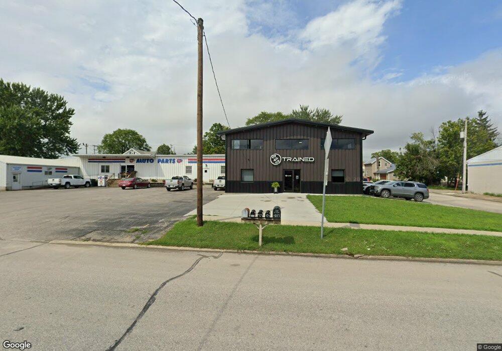
801 W Main St Waukon, IA 52172
Estimated Value: $90,000
2
Beds
1
Bath
3,600
Sq Ft
$25/Sq Ft
Est. Value
About This Home
This home is located at 801 W Main St, Waukon, IA 52172 and is currently priced at $90,000, approximately $25 per square foot. 801 W Main St is a home located in Allamakee County with nearby schools including West Campus Elementary School, East Campus Elementary School, and Waukon Middle School.
Ownership History
Date
Name
Owned For
Owner Type
Purchase Details
Closed on
Nov 28, 2016
Sold by
Marine Cu
Bought by
Jones Daniel J and Jones Leanne M
Current Estimated Value
Purchase Details
Closed on
Nov 15, 2016
Sold by
Thiele Ellen Lee and Thiele Ronald Chester
Bought by
Jones Daniel J and Jones Leanne M
Purchase Details
Closed on
Nov 8, 2016
Sold by
Thiele Gregory A and Henthorn Jerre J
Bought by
Marine Cu
Purchase Details
Closed on
Nov 16, 2012
Sold by
Thiele Ellen Lorine
Bought by
Thiele Gregory A and Henthorn Jerre J
Create a Home Valuation Report for This Property
The Home Valuation Report is an in-depth analysis detailing your home's value as well as a comparison with similar homes in the area
Home Values in the Area
Average Home Value in this Area
Purchase History
| Date | Buyer | Sale Price | Title Company |
|---|---|---|---|
| Jones Daniel J | $17,500 | None Available | |
| Jones Daniel J | -- | None Available | |
| Marine Cu | $12,000 | None Available | |
| Thiele Gregory A | $24,000 | None Available |
Source: Public Records
Tax History Compared to Growth
Tax History
| Year | Tax Paid | Tax Assessment Tax Assessment Total Assessment is a certain percentage of the fair market value that is determined by local assessors to be the total taxable value of land and additions on the property. | Land | Improvement |
|---|---|---|---|---|
| 2025 | $2,944 | $352,300 | $14,500 | $337,800 |
| 2024 | $2,944 | $162,000 | $14,500 | $147,500 |
| 2023 | $188 | $11,600 | $11,600 | $0 |
| 2022 | $208 | $11,600 | $11,600 | $0 |
| 2021 | $216 | $11,600 | $11,600 | $0 |
| 2020 | $216 | $11,600 | $11,600 | $0 |
| 2019 | $216 | $11,600 | $0 | $0 |
| 2018 | $850 | $29,900 | $0 | $0 |
| 2017 | $850 | $29,900 | $0 | $0 |
| 2016 | $858 | $30,300 | $0 | $0 |
| 2015 | $858 | $30,300 | $0 | $0 |
| 2014 | $888 | $30,300 | $0 | $0 |
Source: Public Records
Map
Nearby Homes
- 607 W Main St
- 605 1st Ave SW
- 430 9th St NW
- 303 5th St SW
- 208 4th St SW
- 602 2nd St NW
- 306 Sw St
- 0 Parcel Id#1031351007 Unit 20211899
- 0 Parcel Id#1506100051 Unit 20211897
- 0 Parcel Id#1031376012 Unit 20211905
- 0 Parcel Id#1031376013 Unit 20211902
- 0 Parcel Id#1031351004 Unit 20211906
- 0 Parcel Id#1031376005 Unit 20211907
- 0 Parcel Id#1031351006 Unit 20211900
- 820 4th St NW
- 821 4th St NW
- Allamakee Co. Ia Parcel Id#
- 210 Northgate Ave NW
- 0 SW 11th Ave Unit 20222752
- 22 3rd Ave SE