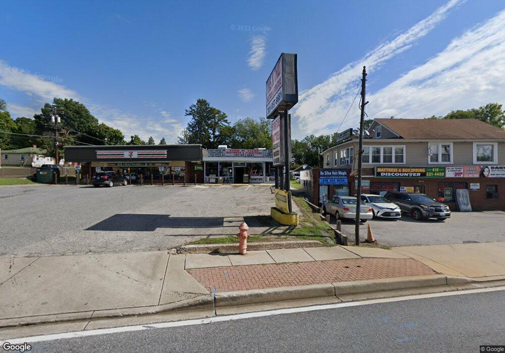
8010 Liberty Rd Baltimore, MD 21244
--
Bed
--
Bath
3,465
Sq Ft
6,055
Sq Ft Lot
About This Home
This home is located at 8010 Liberty Rd, Baltimore, MD 21244. 8010 Liberty Rd is a home located in Baltimore County with nearby schools including Scotts Branch Elementary School, Northwest Academy of Health Sciences, and Milford Mill Academy.
Ownership History
Date
Name
Owned For
Owner Type
Purchase Details
Closed on
Nov 29, 2019
Sold by
Estate Of Samuel Chhonsam Lee
Bought by
Duke Elkridge Llc
Home Financials for this Owner
Home Financials are based on the most recent Mortgage that was taken out on this home.
Original Mortgage
$1,225,000
Interest Rate
5%
Mortgage Type
Purchase Money Mortgage
Purchase Details
Closed on
Aug 5, 1980
Sold by
Minrose Realty C Orp
Bought by
Lee Samuel C
Create a Home Valuation Report for This Property
The Home Valuation Report is an in-depth analysis detailing your home's value as well as a comparison with similar homes in the area
Home Values in the Area
Average Home Value in this Area
Purchase History
| Date | Buyer | Sale Price | Title Company |
|---|---|---|---|
| Duke Elkridge Llc | $1,225,000 | Residential T&E Co | |
| Lee Samuel C | $100,000 | -- |
Source: Public Records
Mortgage History
| Date | Status | Borrower | Loan Amount |
|---|---|---|---|
| Closed | Duke Elkridge Llc | $1,225,000 |
Source: Public Records
Tax History Compared to Growth
Tax History
| Year | Tax Paid | Tax Assessment Tax Assessment Total Assessment is a certain percentage of the fair market value that is determined by local assessors to be the total taxable value of land and additions on the property. | Land | Improvement |
|---|---|---|---|---|
| 2025 | $8,947 | $687,767 | -- | -- |
| 2024 | $8,947 | $685,400 | $121,100 | $564,300 |
| 2023 | $4,549 | $650,633 | $0 | $0 |
| 2022 | $8,680 | $615,867 | $0 | $0 |
| 2021 | $4,556 | $581,100 | $121,100 | $460,000 |
| 2020 | $7,043 | $581,100 | $121,100 | $460,000 |
| 2019 | $7,043 | $581,100 | $121,100 | $460,000 |
| 2018 | $10,282 | $581,100 | $121,100 | $460,000 |
| 2017 | $11,309 | $458,300 | $0 | $0 |
| 2016 | $7,662 | $335,500 | $0 | $0 |
| 2015 | $7,662 | $212,700 | $0 | $0 |
| 2014 | $7,662 | $212,700 | $0 | $0 |
Source: Public Records
Map
Nearby Homes
- 3608 Kenmar Rd
- 3538 Milford Mill Rd
- 3510 Rockdale Ct
- 7817 Liberty Rd
- 3621 Washington Ave
- 3715 Washington Ave
- 7803 Brevort Rd
- 3507 Ellen
- 7804 Carmel Cir
- 3818 Twin Lakes Ct
- 3811 Coronado Rd
- 3414 Milford Mill Rd
- 3536 Derby Shire Cir
- 7906 Montwood Rd
- 3437 Liberty Gardens Rd
- 8205 Knights Way
- 3512 Saint James Rd
- 3408 Croydon Rd
- 3406 Croydon Rd
- 3115 Ripple Rd
- 8012 Liberty Rd
- 8008 Liberty Rd
- 3607 Rockdale Terrace
- 8006 Liberty Rd
- 3609 Rockdale Terrace
- 8014 Liberty Rd
- 8016 Liberty Rd
- 3611 Rockdale Terrace
- 3613 Rockdale Terrace
- 8011 Liberty Rd
- 3610 Rockdale Terrace
- 3615 Rockdale Terrace
- 8001 Liberty Rd
- 8017 Liberty Rd
- 3612 Rockdale Terrace
- 8007 Liberty Rd
- 3617 Rockdale Terrace
- 3616 Rockdale Terrace
- 3619 Rockdale Terrace
- 8021 Liberty Rd