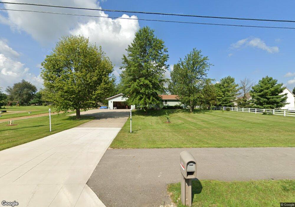
8010 S Old State Rd Lewis Center, OH 43035
Orange NeighborhoodEstimated Value: $379,000 - $414,000
3
Beds
3
Baths
1,643
Sq Ft
$241/Sq Ft
Est. Value
About This Home
This home is located at 8010 S Old State Rd, Lewis Center, OH 43035 and is currently estimated at $396,046, approximately $241 per square foot. 8010 S Old State Rd is a home located in Delaware County with nearby schools including Oak Creek Elementary School, Olentangy Orange Middle School, and Orange High School.
Ownership History
Date
Name
Owned For
Owner Type
Purchase Details
Closed on
Apr 28, 2023
Sold by
Hazel M Burkholder Trust
Bought by
Madamanchi Anitha and Chitluri Sivakrishna
Current Estimated Value
Home Financials for this Owner
Home Financials are based on the most recent Mortgage that was taken out on this home.
Original Mortgage
$361,000
Outstanding Balance
$351,017
Interest Rate
6.42%
Mortgage Type
New Conventional
Estimated Equity
$45,029
Create a Home Valuation Report for This Property
The Home Valuation Report is an in-depth analysis detailing your home's value as well as a comparison with similar homes in the area
Home Values in the Area
Average Home Value in this Area
Purchase History
| Date | Buyer | Sale Price | Title Company |
|---|---|---|---|
| Madamanchi Anitha | $146,666 | Chicago Title |
Source: Public Records
Mortgage History
| Date | Status | Borrower | Loan Amount |
|---|---|---|---|
| Open | Madamanchi Anitha | $361,000 |
Source: Public Records
Tax History Compared to Growth
Tax History
| Year | Tax Paid | Tax Assessment Tax Assessment Total Assessment is a certain percentage of the fair market value that is determined by local assessors to be the total taxable value of land and additions on the property. | Land | Improvement |
|---|---|---|---|---|
| 2024 | $4,246 | $76,970 | $19,920 | $57,050 |
| 2023 | $4,354 | $76,970 | $19,920 | $57,050 |
| 2022 | $3,758 | $63,950 | $15,510 | $48,440 |
| 2021 | $3,780 | $63,950 | $15,510 | $48,440 |
| 2020 | $3,798 | $63,950 | $15,510 | $48,440 |
| 2019 | $3,294 | $58,390 | $15,510 | $42,880 |
| 2018 | $2,982 | $53,490 | $15,510 | $37,980 |
| 2017 | $3,376 | $61,320 | $18,690 | $42,630 |
| 2016 | $3,734 | $61,320 | $18,690 | $42,630 |
| 2015 | $3,407 | $61,320 | $18,690 | $42,630 |
| 2014 | $3,456 | $61,320 | $18,690 | $42,630 |
| 2013 | $3,425 | $59,680 | $18,690 | $40,990 |
Source: Public Records
Map
Nearby Homes
- 1955 Royal Oak Dr
- 1923 Myrtle St
- 2165 Ben Brush Place
- 2216 Reeves Ave
- 1143 Little Bear Place
- 7633 Storrington Place
- 1520 Aniko Ave
- 1245 Little Bear Loop
- 2383 Bold Venture Dr
- 1326 Westwood Dr
- 8322 Aurora Ct
- 1746 E Powell Rd
- 0 E Orange Rd Unit lot 1
- 0 E Orange Rd
- 7631 Pleasant Colony Ct
- 975 Adara Dr Unit 6975
- 7742 Holderman St
- 8749 Paulden Ct
- 8910 Sedona Ct
- 2715 Tucker Trail
- 1968 Royal Oak Dr
- 8020 S Old State Rd
- 1944 Royal Oak Dr
- 1926 Royal Oak Dr
- 1906 Royal Oak Dr
- 1890 Royal Oak Dr
- 1961 Maxwell Ave
- 8040 S Old State Rd
- 1872 Royal Oak Dr
- 1975 Royal Oak Dr
- 1783 Little Bear Loop
- 2009 Hayer Ct
- 1937 Royal Oak Dr
- 1773 Little Bear Loop
- 1981 Hayer Ct
- 1923 Royal Oak Dr
- 1909 Royal Oak Dr
- 1793 Little Bear Loop Unit Lot 7442-8
- 1854 Royal Oak Dr
- 1962 Maxwell Ave