8018 Transom Cir Unit 62 Ooltewah, TN 37363
Estimated Value: $837,238 - $1,059,000
--
Bed
1
Bath
3,860
Sq Ft
$234/Sq Ft
Est. Value
About This Home
This home is located at 8018 Transom Cir Unit 62, Ooltewah, TN 37363 and is currently estimated at $903,560, approximately $234 per square foot. 8018 Transom Cir Unit 62 is a home located in Hamilton County with nearby schools including Ooltewah Elementary School, Hunter Middle School, and Ooltewah High School.
Ownership History
Date
Name
Owned For
Owner Type
Purchase Details
Closed on
Oct 12, 2012
Sold by
Pratt & Associates Llc
Bought by
Pratt Homebuilders Llc
Current Estimated Value
Home Financials for this Owner
Home Financials are based on the most recent Mortgage that was taken out on this home.
Original Mortgage
$290,000
Interest Rate
3.64%
Mortgage Type
Future Advance Clause Open End Mortgage
Purchase Details
Closed on
Jul 19, 2012
Sold by
Firstbank
Bought by
Pratt & Associates Llc
Purchase Details
Closed on
Dec 3, 2009
Sold by
D & M Properties Llp
Bought by
First Bank
Create a Home Valuation Report for This Property
The Home Valuation Report is an in-depth analysis detailing your home's value as well as a comparison with similar homes in the area
Home Values in the Area
Average Home Value in this Area
Purchase History
| Date | Buyer | Sale Price | Title Company |
|---|---|---|---|
| Pratt Homebuilders Llc | -- | None Available | |
| Pratt & Associates Llc | $420,000 | Old Republic Title | |
| First Bank | $2,036,452 | None Available |
Source: Public Records
Mortgage History
| Date | Status | Borrower | Loan Amount |
|---|---|---|---|
| Closed | Pratt Homebuilders Llc | $290,000 |
Source: Public Records
Tax History Compared to Growth
Tax History
| Year | Tax Paid | Tax Assessment Tax Assessment Total Assessment is a certain percentage of the fair market value that is determined by local assessors to be the total taxable value of land and additions on the property. | Land | Improvement |
|---|---|---|---|---|
| 2024 | $3,101 | $138,625 | $0 | $0 |
| 2023 | $3,110 | $138,625 | $0 | $0 |
| 2022 | $3,110 | $138,625 | $0 | $0 |
| 2021 | $3,110 | $138,625 | $0 | $0 |
| 2020 | $3,219 | $116,075 | $0 | $0 |
| 2019 | $3,219 | $116,075 | $0 | $0 |
| 2018 | $3,219 | $116,075 | $0 | $0 |
| 2017 | $3,219 | $116,075 | $0 | $0 |
| 2016 | $3,152 | $0 | $0 | $0 |
| 2015 | $3,152 | $113,675 | $0 | $0 |
| 2014 | $3,152 | $0 | $0 | $0 |
Source: Public Records
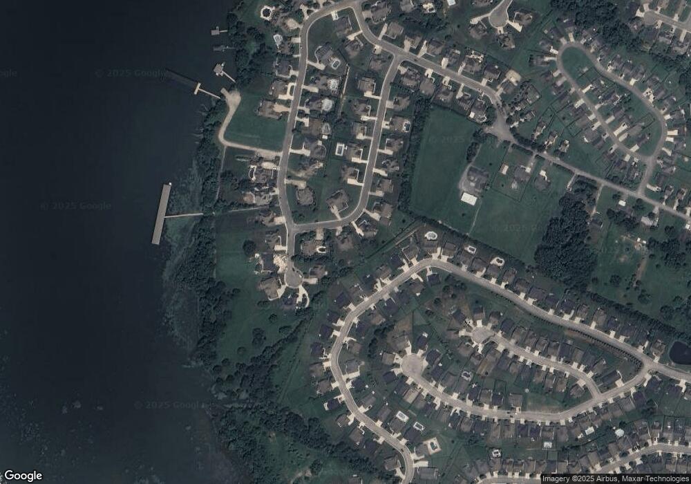
Map
Nearby Homes
- 7904 Frostwood Ln
- 8398 Skybrook Dr
- 7925 Frostwood Ln
- 8425 Dakota Sky Way
- 8109 Propeller Dr
- 7980 Frostwood Ln
- 8312 Skybrook Dr
- 8502 Kennerly Ct
- 7992 Frostwood Ln
- 8166 Bluegill Cir
- 8594 Kennerly Ct
- 8756 Grey Reed Dr
- 8612 Kennerly Ct
- 8366 Gracie Mac Ln
- 8857 Grey Reed Dr
- 8420 Sophie Ln
- The Pearson Plan at Wind Haven
- The Crawford Plan at Wind Haven
- The Buford II Plan at Wind Haven
- The Greenbrier II Plan at Wind Haven
- 8018 Transom Cir
- 8024 Transom Cir
- 8024 Transom Cir Unit LT 63
- 8010 Transom Cir
- 8447 Skybrook Dr
- 8439 Skybrook Dr
- 8455 Skybrook Dr
- 8431 Skybrook Dr
- 8463 Skybrook Dr
- 8031 Transom Cir
- 8038 Transom Cir
- 8038 Transom Cir Unit 64
- 8053 Transom Cir
- 8053 Transom Cir Unit 64
- 8381 Transom Cir Unit 17
- 8187 Georgetown Bay Dr
- 8187 Georgetown Bay Dr Unit 1
- 8423 Skybrook Dr
- 8471 Skybrook Dr
- 8256 Georgetown Bay Dr