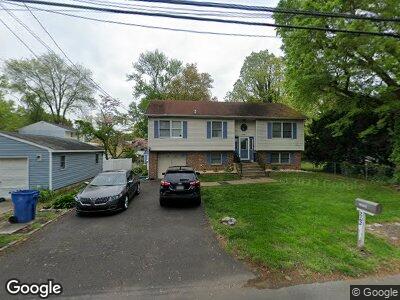
802 Franklin St Croydon, PA 19021
Bristol Township NeighborhoodEstimated Value: $359,000 - $391,000
3
Beds
2
Baths
1,232
Sq Ft
$304/Sq Ft
Est. Value
About This Home
This home is located at 802 Franklin St, Croydon, PA 19021 and is currently estimated at $374,828, approximately $304 per square foot. 802 Franklin St is a home located in Bucks County with nearby schools including Truman Senior High School, Doane Academy, and St. Mark Elementary School.
Ownership History
Date
Name
Owned For
Owner Type
Purchase Details
Closed on
Feb 21, 2008
Sold by
Kazmiroski Leonard A and Kazmiroski Patricia A
Bought by
Jordan John and Jordan Theda
Current Estimated Value
Home Financials for this Owner
Home Financials are based on the most recent Mortgage that was taken out on this home.
Original Mortgage
$258,953
Interest Rate
5.57%
Mortgage Type
FHA
Purchase Details
Closed on
Jun 29, 1990
Bought by
Kazmiroski Leonard A and Kazmiroski Patricia A
Create a Home Valuation Report for This Property
The Home Valuation Report is an in-depth analysis detailing your home's value as well as a comparison with similar homes in the area
Home Values in the Area
Average Home Value in this Area
Purchase History
| Date | Buyer | Sale Price | Title Company |
|---|---|---|---|
| Jordan John | $261,000 | Lawyers Title Insurance Corp | |
| Kazmiroski Leonard A | $15,000 | -- |
Source: Public Records
Mortgage History
| Date | Status | Borrower | Loan Amount |
|---|---|---|---|
| Open | Jordan John | $207,989 | |
| Closed | Jordan John | $42,113 | |
| Closed | Jordan John | $262,837 | |
| Closed | Jordan John | $258,953 |
Source: Public Records
Tax History Compared to Growth
Tax History
| Year | Tax Paid | Tax Assessment Tax Assessment Total Assessment is a certain percentage of the fair market value that is determined by local assessors to be the total taxable value of land and additions on the property. | Land | Improvement |
|---|---|---|---|---|
| 2024 | $6,083 | $22,400 | $3,120 | $19,280 |
| 2023 | $6,038 | $22,400 | $3,120 | $19,280 |
| 2022 | $6,038 | $22,400 | $3,120 | $19,280 |
| 2021 | $6,038 | $22,400 | $3,120 | $19,280 |
| 2020 | $6,038 | $22,400 | $3,120 | $19,280 |
| 2019 | $6,016 | $22,400 | $3,120 | $19,280 |
| 2018 | $5,919 | $22,400 | $3,120 | $19,280 |
| 2017 | $5,829 | $22,400 | $3,120 | $19,280 |
| 2016 | $5,829 | $22,400 | $3,120 | $19,280 |
| 2015 | $4,520 | $22,400 | $3,120 | $19,280 |
| 2014 | $4,520 | $22,400 | $3,120 | $19,280 |
Source: Public Records
Map
Nearby Homes
- 1719 Susan Ave
- 1902 Spencer Dr
- 1717 Spencer Dr
- 302 Spring Ave
- 1719 Dixon Ave
- 1712 Dixon Ave
- 2905 Penn Valley Ave
- 1510 Moore St Unit 302
- 219 Harris Ave
- 1505 Moore St Unit 203
- 307 Grant Ave
- 3004 Penn Valley Ave
- 1102 Dolores Ln
- 3303 Glenrose Ave
- 1000 Stephen Ave
- 3201 Arthur Ave
- 0 Newportville Rd Unit PABU487252
- 0 Newportville Rd Unit PABU2091858
- 3300 Broadway Ave
- 1551 Mile St
- 802 Franklin St
- 2101 Dixon Ave
- 2102 Maple Ave
- 2100 Maple Ave
- 2115 Dixon Ave
- 1960 Maple Ave
- 2116 Maple Ave
- 801 Franklin St
- 1956 Maple Ave
- 2120 Maple Ave
- 1955 Dixon Ave
- 2125 Dixon Ave
- 2102 Dixon Ave
- 2114 Dixon Ave
- 2103 Maple Ave
- 2124 Maple Ave
- 1950 Maple Ave
- 1962 Dixon Ave
- 2105 Maple Ave
- 2107 Maple Ave