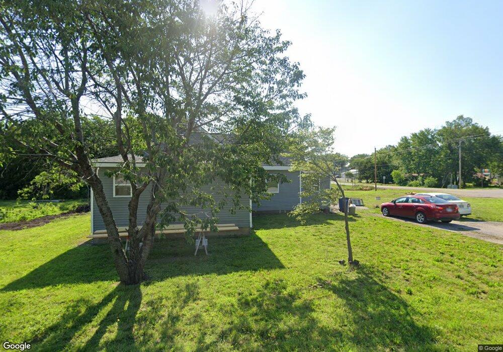
802 Maple St Overbrook, KS 66524
Estimated Value: $142,000 - $203,000
2
Beds
2
Baths
1,494
Sq Ft
$113/Sq Ft
Est. Value
About This Home
This home is located at 802 Maple St, Overbrook, KS 66524 and is currently estimated at $168,093, approximately $112 per square foot. 802 Maple St is a home located in Osage County with nearby schools including Overbrook Attendance Center, Carbondale Attendance Center, and Santa Fe Trail High School.
Ownership History
Date
Name
Owned For
Owner Type
Purchase Details
Closed on
Aug 11, 2008
Sold by
Carringer Clyde and Carringer Michael
Bought by
Carringer Clyde and Carringer Michael
Current Estimated Value
Home Financials for this Owner
Home Financials are based on the most recent Mortgage that was taken out on this home.
Original Mortgage
$40,500
Outstanding Balance
$26,698
Interest Rate
6.42%
Estimated Equity
$141,395
Create a Home Valuation Report for This Property
The Home Valuation Report is an in-depth analysis detailing your home's value as well as a comparison with similar homes in the area
Purchase History
| Date | Buyer | Sale Price | Title Company |
|---|---|---|---|
| Carringer Clyde | -- | Peimann Title & Escrow |
Source: Public Records
Mortgage History
| Date | Status | Borrower | Loan Amount |
|---|---|---|---|
| Open | Carringer Clyde | $40,500 |
Source: Public Records
Tax History
| Year | Tax Paid | Tax Assessment Tax Assessment Total Assessment is a certain percentage of the fair market value that is determined by local assessors to be the total taxable value of land and additions on the property. | Land | Improvement |
|---|---|---|---|---|
| 2025 | $2,562 | $16,249 | $2,793 | $13,456 |
| 2024 | $26 | $14,950 | $2,569 | $12,381 |
| 2023 | $2,585 | $14,375 | $2,439 | $11,936 |
| 2022 | -- | $11,765 | $1,838 | $9,927 |
| 2021 | $0 | $10,654 | $2,529 | $8,125 |
| 2020 | $1,624 | $8,844 | $2,529 | $6,315 |
| 2019 | $1,451 | $7,682 | $2,842 | $4,840 |
| 2018 | $1,412 | $7,682 | $2,356 | $5,326 |
| 2017 | $1,278 | $7,084 | $2,356 | $4,728 |
| 2016 | $1,295 | $7,187 | $2,356 | $4,831 |
| 2015 | -- | $8,073 | $2,356 | $5,717 |
| 2013 | $1,377 | $8,337 | $2,356 | $5,981 |
Source: Public Records
Map
Nearby Homes
- 607 Maple St
- 401 Cedar
- 501 Locust
- 301 N Cedar St
- 0000 S Ratner Rd
- U S 56
- 18541 S Stanley Rd
- 7055 E 125th St
- 00000 E 197th St
- 00000 E 209th St
- 21015 N Sail A Way Dr
- 11108 S Berryton Rd
- 20031 S Berryton Rd
- 170 E 400 Rd
- 0 Lot 4 33-14-18 N A Unit HMS2572348
- 13450 S Topeka Ave
- 118 W David St
- 511 W North St
- 125th St and S Jordan Rd
- 727 Teresa Ct
Your Personal Tour Guide
Ask me questions while you tour the home.