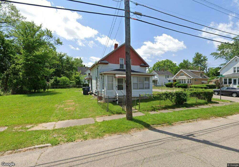
802 Pingree Ave Flint, MI 48503
South Parks NeighborhoodEstimated Value: $39,321 - $49,000
3
Beds
1
Bath
882
Sq Ft
$51/Sq Ft
Est. Value
About This Home
This home is located at 802 Pingree Ave, Flint, MI 48503 and is currently estimated at $45,330, approximately $51 per square foot. 802 Pingree Ave is a home located in Genesee County with nearby schools including Freeman Elementary School, Flint Southwestern Classical Academy, and International Academy of Flint (K-12).
Ownership History
Date
Name
Owned For
Owner Type
Purchase Details
Closed on
May 27, 2021
Sold by
County Land Bank Authority
Bought by
Walker Janel
Current Estimated Value
Purchase Details
Closed on
Jul 20, 2020
Sold by
Walker Doris Mona
Bought by
Walker Doris Marcia and Walker Janel C
Purchase Details
Closed on
Jul 23, 2003
Sold by
Moore James E and Moore Katina D
Bought by
Mortgage Electronic Registration Systems
Create a Home Valuation Report for This Property
The Home Valuation Report is an in-depth analysis detailing your home's value as well as a comparison with similar homes in the area
Home Values in the Area
Average Home Value in this Area
Purchase History
| Date | Buyer | Sale Price | Title Company |
|---|---|---|---|
| Walker Janel | -- | None Available | |
| Walker Doris Marcia | -- | None Available | |
| Mortgage Electronic Registration Systems | $19,228 | -- |
Source: Public Records
Tax History
| Year | Tax Paid | Tax Assessment Tax Assessment Total Assessment is a certain percentage of the fair market value that is determined by local assessors to be the total taxable value of land and additions on the property. | Land | Improvement |
|---|---|---|---|---|
| 2025 | $715 | $11,600 | $0 | $0 |
| 2024 | $672 | $9,900 | $0 | $0 |
| 2023 | $664 | $8,400 | $0 | $0 |
| 2022 | $0 | $7,400 | $0 | $0 |
| 2021 | $668 | $6,400 | $0 | $0 |
| 2020 | $569 | $6,200 | $0 | $0 |
| 2019 | $565 | $5,500 | $0 | $0 |
| 2018 | $529 | $5,200 | $0 | $0 |
| 2017 | $519 | $0 | $0 | $0 |
| 2016 | $516 | $0 | $0 | $0 |
| 2015 | -- | $0 | $0 | $0 |
| 2014 | -- | $0 | $0 | $0 |
| 2012 | -- | $5,800 | $0 | $0 |
Source: Public Records
Map
Nearby Homes
- 2010 Crocker Ave
- 2050 Ferris Ave
- 420 Pingree Ave
- 2029 Winans Ave
- 2224 Crocker Ave
- 1720 Park St
- 2221 Howard Ave
- 1701 Park St
- 2033 Seymour Ave
- 1851 Seymour Ave
- 149 E Tobias St
- 149 E Linsey Blvd
- 1510 S Franklin Ave
- 133 E Oakley St
- 915 E 8th St
- 1210 Blanchard Ave
- 1840 Mcphail St
- 1814 Mcphail St
- 1930 Owen St
- 9211 Owen St
- 804 Pingree Ave
- 2005 Stanford Ave
- 2009 Stanford Ave
- 2000 Stanford Ave
- 2006 Stanford Ave
- 805 Pingree Ave
- 2006 Crocker Ave
- 2015 Stanford Ave
- 830 Pingree Ave
- 2010 Stanford Ave
- 717 Pingree Ave
- 815 Pingree Ave
- 713 Pingree Ave
- 2012 Stanford Ave
- 2014 Crocker Ave
- 817 Pingree Ave
- 2018 Stanford Ave
- 2001 Dwight Ave
- 2005 Dwight Ave
- 2007 Dwight Ave
Your Personal Tour Guide
Ask me questions while you tour the home.