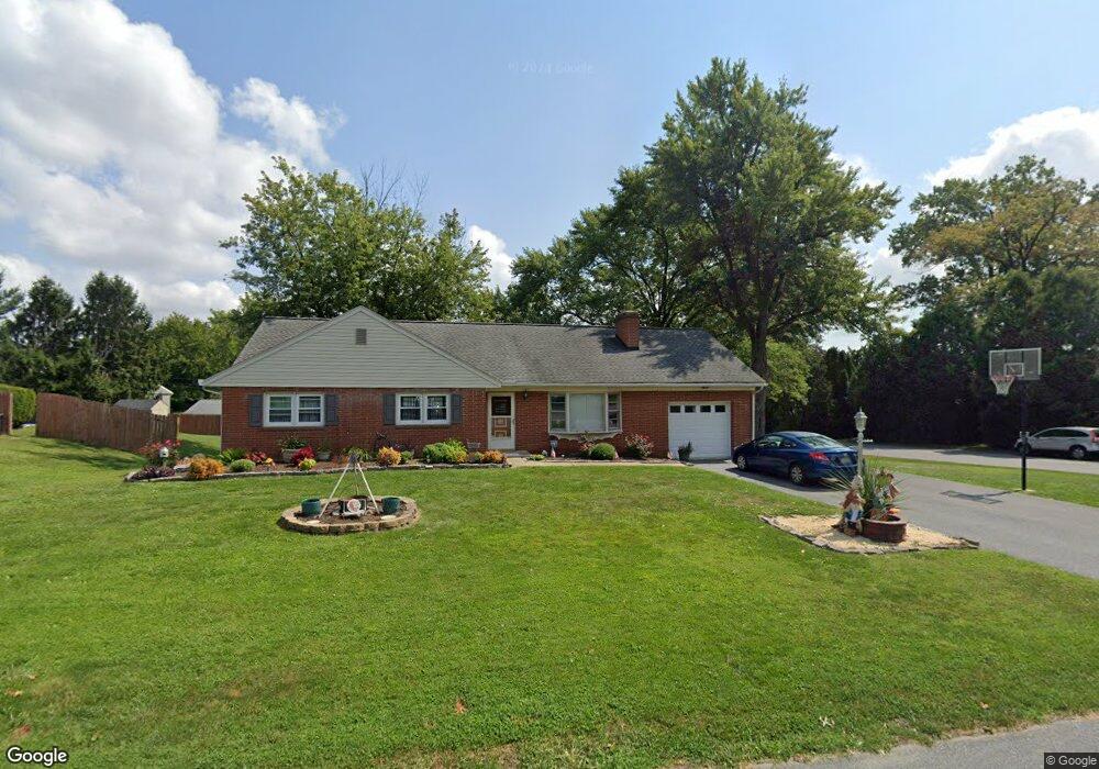
802 Robin Rd Lancaster, PA 17601
Oyster Point NeighborhoodEstimated Value: $331,000 - $386,000
3
Beds
1
Bath
1,312
Sq Ft
$269/Sq Ft
Est. Value
About This Home
This home is located at 802 Robin Rd, Lancaster, PA 17601 and is currently estimated at $353,149, approximately $269 per square foot. 802 Robin Rd is a home located in Lancaster County with nearby schools including Centerville Elementary School, Centerville Middle School, and Hempfield High School.
Ownership History
Date
Name
Owned For
Owner Type
Purchase Details
Closed on
Oct 14, 2010
Sold by
Frank Timothy B
Bought by
Frank Timothy B and Frank Shavone A
Current Estimated Value
Home Financials for this Owner
Home Financials are based on the most recent Mortgage that was taken out on this home.
Original Mortgage
$110,700
Interest Rate
4.37%
Mortgage Type
New Conventional
Purchase Details
Closed on
Sep 16, 2002
Sold by
Frank Barry L and Frank Beverly J
Bought by
Frank Timothy B
Home Financials for this Owner
Home Financials are based on the most recent Mortgage that was taken out on this home.
Original Mortgage
$94,000
Interest Rate
6.36%
Create a Home Valuation Report for This Property
The Home Valuation Report is an in-depth analysis detailing your home's value as well as a comparison with similar homes in the area
Home Values in the Area
Average Home Value in this Area
Purchase History
| Date | Buyer | Sale Price | Title Company |
|---|---|---|---|
| Frank Timothy B | -- | None Available | |
| Frank Timothy B | $115,000 | -- |
Source: Public Records
Mortgage History
| Date | Status | Borrower | Loan Amount |
|---|---|---|---|
| Closed | Frank Timothy B | $110,700 | |
| Closed | Frank Timothy B | $94,000 |
Source: Public Records
Tax History
| Year | Tax Paid | Tax Assessment Tax Assessment Total Assessment is a certain percentage of the fair market value that is determined by local assessors to be the total taxable value of land and additions on the property. | Land | Improvement |
|---|---|---|---|---|
| 2025 | $4,175 | $193,200 | $60,200 | $133,000 |
| 2024 | $4,175 | $193,200 | $60,200 | $133,000 |
| 2023 | $4,092 | $193,200 | $60,200 | $133,000 |
| 2022 | $3,979 | $193,200 | $60,200 | $133,000 |
| 2021 | $3,916 | $193,200 | $60,200 | $133,000 |
| 2020 | $3,916 | $193,200 | $60,200 | $133,000 |
| 2019 | $3,849 | $193,200 | $60,200 | $133,000 |
| 2018 | $758 | $193,200 | $60,200 | $133,000 |
| 2017 | $3,271 | $129,900 | $41,100 | $88,800 |
| 2016 | $3,271 | $129,900 | $41,100 | $88,800 |
| 2015 | $657 | $129,900 | $41,100 | $88,800 |
| 2014 | $2,404 | $129,900 | $41,100 | $88,800 |
Source: Public Records
Map
Nearby Homes
- 825 Robin Rd
- 900 Cardinal Rd
- 56 Peacock Dr
- 2808 Spring Valley Rd
- 3059 Buckthorn Dr
- 9 Spring Walk Ct
- 107 Treetops Dr
- 401 Country Place Dr
- 1006 Country Place Dr
- 123 Pinnacle Point Dr
- 1137 Nissley Rd
- 2482 Spring Water Cir
- 2457 Spring Water Cir
- 2458 Spring Water Cir
- 2456 Spring Water Cir
- 2454 Spring Water Cir
- 204 Post Oak Rd
- 2838 Harrisburg Pike
- 1400 Limestone Ridge
- 2336 Wood St
Your Personal Tour Guide
Ask me questions while you tour the home.