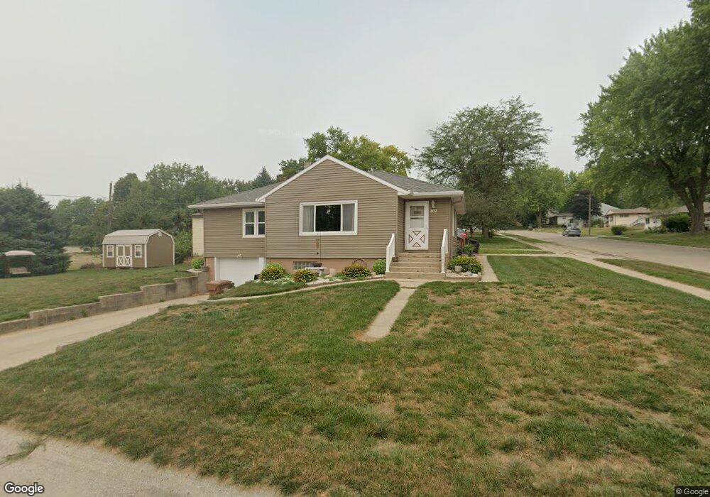
802 W 17th St Carroll, IA 51401
Estimated Value: $168,267 - $194,000
3
Beds
2
Baths
1,172
Sq Ft
$153/Sq Ft
Est. Value
About This Home
This home is located at 802 W 17th St, Carroll, IA 51401 and is currently estimated at $178,817, approximately $152 per square foot. 802 W 17th St is a home with nearby schools including Fairview Elementary School, Adams Elementary School, and Carroll Middle School.
Ownership History
Date
Name
Owned For
Owner Type
Purchase Details
Closed on
Jul 2, 2008
Sold by
Kingdon Casey D and Kingdon Elizabeth A
Bought by
Manning Michael R and Manning Nelda J
Current Estimated Value
Home Financials for this Owner
Home Financials are based on the most recent Mortgage that was taken out on this home.
Original Mortgage
$87,181
Outstanding Balance
$56,329
Interest Rate
6.1%
Mortgage Type
FHA
Estimated Equity
$122,488
Create a Home Valuation Report for This Property
The Home Valuation Report is an in-depth analysis detailing your home's value as well as a comparison with similar homes in the area
Home Values in the Area
Average Home Value in this Area
Purchase History
| Date | Buyer | Sale Price | Title Company |
|---|---|---|---|
| Manning Michael R | $89,000 | None Available |
Source: Public Records
Mortgage History
| Date | Status | Borrower | Loan Amount |
|---|---|---|---|
| Open | Manning Michael R | $87,181 |
Source: Public Records
Tax History Compared to Growth
Tax History
| Year | Tax Paid | Tax Assessment Tax Assessment Total Assessment is a certain percentage of the fair market value that is determined by local assessors to be the total taxable value of land and additions on the property. | Land | Improvement |
|---|---|---|---|---|
| 2025 | $1,732 | $157,790 | $23,770 | $134,020 |
| 2024 | $1,696 | $142,340 | $23,770 | $118,570 |
| 2023 | $1,477 | $142,340 | $23,770 | $118,570 |
| 2022 | $1,398 | $105,420 | $20,650 | $84,770 |
| 2021 | $1,398 | $105,420 | $20,650 | $84,770 |
| 2020 | $1,433 | $105,420 | $20,650 | $84,770 |
| 2019 | $1,426 | $105,420 | $20,650 | $84,770 |
| 2018 | $1,340 | $105,420 | $20,650 | $84,770 |
| 2017 | $1,334 | $102,282 | $18,415 | $83,867 |
| 2016 | $1,244 | $95,590 | $0 | $0 |
| 2015 | $1,244 | $91,870 | $0 | $0 |
| 2014 | $1,176 | $91,870 | $0 | $0 |
Source: Public Records
Map
Nearby Homes
- 1608 Salinger Ave
- 631 W 17th St
- 1810 Crestview Dr
- 1852 Quint Ave
- 711 W 21st St
- 611 W 21st St
- 1306 Simon Ave
- 907 Salinger Ave
- 0 E 10th St Unit 5423085
- 0 E 10th St Unit 6324630
- 0 E 10th St Unit 6319081
- 1509 Birch St
- 219 Windwood Dr
- 1601 N Main St
- 1320 N Adams St
- 1515 N Main St
- 1015 N Adams St
- 0 Deer Creek Ln Unit 6302348
- 1108 N Main St
- 1102 N Main St
- 1709 Salinger Ave
- 1713 Salinger Ave
- 805 W 17th St
- 718 W 17th St
- 1710 Salinger Ave
- 1719 Salinger Ave
- 1615 Salinger Ave
- 1714 Salinger Ave
- 819 W 17th St
- 719 W 17th St
- 1725 Salinger Ave
- 1612 Salinger Ave
- 1720 Salinger Ave
- 1616 Highland Dr
- 1611 Salinger Ave
- 1610 Highland Dr
- 1726 Salinger Ave
- 1731 Salinger Ave
- 1703 Quint Ave
- 1709 Quint Ave