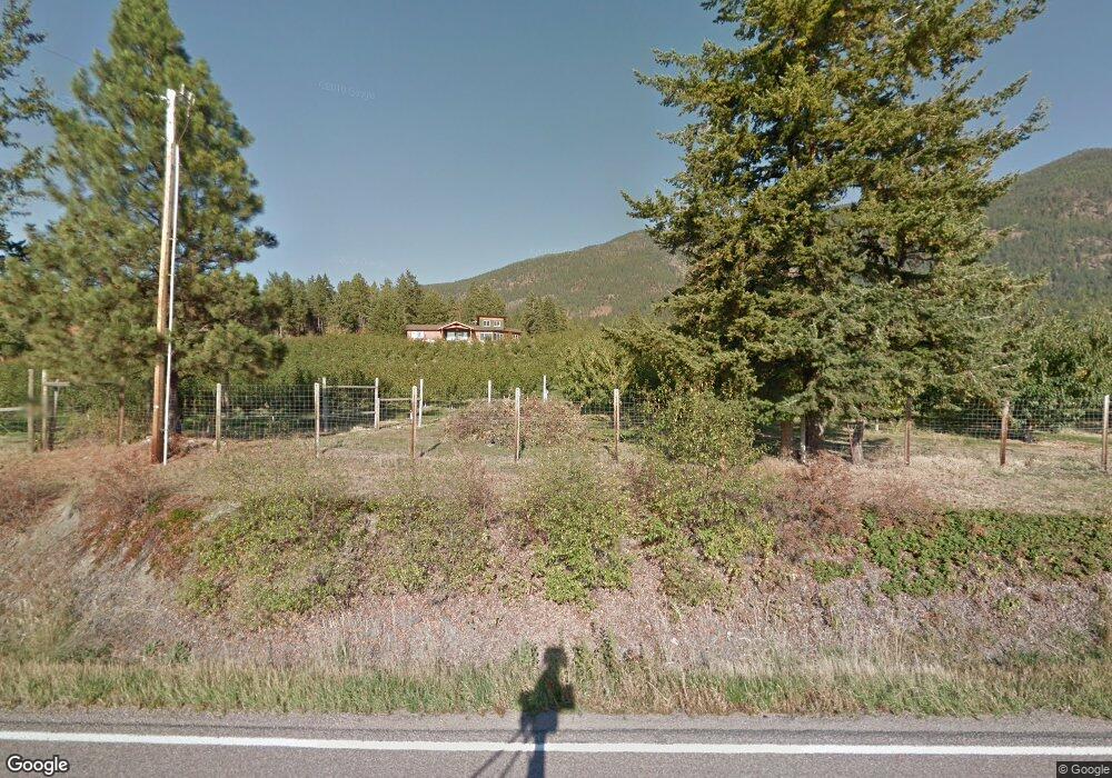
8022 Mt Highway 35 Polson, MT 59860
Estimated Value: $722,000 - $1,346,000
3
Beds
2
Baths
2,527
Sq Ft
$440/Sq Ft
Est. Value
About This Home
This home is located at 8022 Mt Highway 35, Polson, MT 59860 and is currently estimated at $1,112,518, approximately $440 per square foot. 8022 Mt Highway 35 is a home located in Lake County with nearby schools including Cherry Valley School, Linderman Elementary School, and Polson Middle School (7-8).
Ownership History
Date
Name
Owned For
Owner Type
Purchase Details
Closed on
Oct 23, 2017
Sold by
Harrison Samuel Reynolds and Harrison Michelle R Moeller
Bought by
Roe Brad T and Roe Adina A
Current Estimated Value
Home Financials for this Owner
Home Financials are based on the most recent Mortgage that was taken out on this home.
Original Mortgage
$424,100
Outstanding Balance
$230,693
Interest Rate
3.85%
Mortgage Type
New Conventional
Estimated Equity
$881,825
Create a Home Valuation Report for This Property
The Home Valuation Report is an in-depth analysis detailing your home's value as well as a comparison with similar homes in the area
Purchase History
| Date | Buyer | Sale Price | Title Company |
|---|---|---|---|
| Roe Brad T | -- | None Available |
Source: Public Records
Mortgage History
| Date | Status | Borrower | Loan Amount |
|---|---|---|---|
| Open | Roe Brad T | $424,100 |
Source: Public Records
Tax History
| Year | Tax Paid | Tax Assessment Tax Assessment Total Assessment is a certain percentage of the fair market value that is determined by local assessors to be the total taxable value of land and additions on the property. | Land | Improvement |
|---|---|---|---|---|
| 2025 | $4,278 | $866,825 | $0 | $0 |
| 2024 | $5,126 | $717,270 | $0 | $0 |
| 2023 | $4,823 | $717,270 | $0 | $0 |
| 2022 | $3,937 | $490,655 | $0 | $0 |
| 2021 | $3,829 | $490,655 | $0 | $0 |
| 2020 | $3,889 | $434,850 | $0 | $0 |
| 2019 | $3,991 | $434,850 | $0 | $0 |
| 2018 | $3,655 | $208,035 | $0 | $0 |
| 2017 | $1,663 | $208,035 | $0 | $0 |
| 2016 | $2,451 | $255,859 | $0 | $0 |
| 2015 | $2,363 | $255,859 | $0 | $0 |
| 2014 | $1,510 | $130,423 | $0 | $0 |
Source: Public Records
Map
Nearby Homes
- 328 Shoreline Dr
- 9 Regatta Rd Unit Spc. 30
- 22 Regatta Rd
- 13 2nd Ave E
- NHN Irvine Flats Rd
- 200 Irvine Flats Rd Unit 149
- 200 Irvine Flats Rd Unit 150
- 100 Rocky Point Rd Unit B-2
- 100 Rocky Point Rd Unit B6
- 804 7th Ave W Unit 10
- Lot 1 7th Ave W
- Lot 6 7th Ave W
- 404 3rd Ave E
- 806 4th St W
- 908 2nd St W Unit 6
- 908 2nd St W Unit 5
- 908 2nd St W Unit 7
- 602 5th Ave E
- Lot 12 Highland Dr
- 39760 Highland Dr
- 104 Yellowstone Ct
- 2084 Baypoint Rd
- 5024 E Shore Route
- 7986 Mt Highway 35
- 8333 Mt Highway 35
- 230 Finley Point Ln
- 38492 Kerr Dam Rd
- 364 Shoreline Dr
- 342 Shoreline Dr
- 408 Shoreline Dr
- 420 Shoreline Dr
- 286 Shoreline Dr
- 254 Shoreline Dr
- 436 Shoreline Dr
- 310 Shoreline Dr
- 242 Shoreline Dr
- 242 Shoreline Dr
- 226 Shoreline Dr
- 390 Shoreline Dr
- 365 Shoreline Dr
Your Personal Tour Guide
Ask me questions while you tour the home.