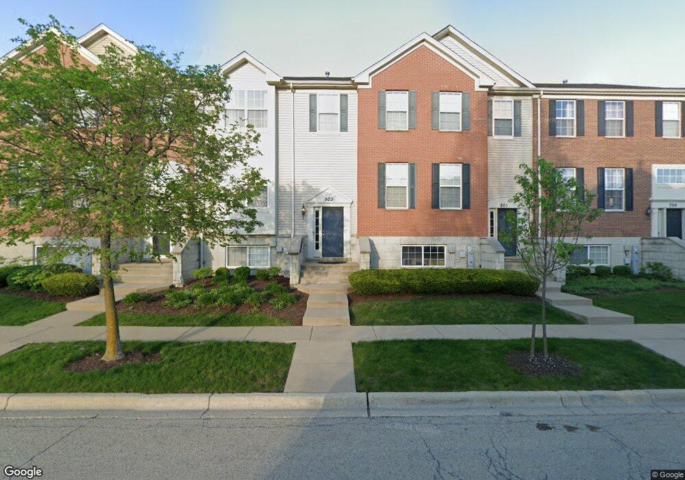
803 Brodhead Dr Unit 2402 Aurora, IL 60504
Fox Valley NeighborhoodEstimated Value: $414,014 - $429,000
3
Beds
2
Baths
1,686
Sq Ft
$250/Sq Ft
Est. Value
About This Home
This home is located at 803 Brodhead Dr Unit 2402, Aurora, IL 60504 and is currently estimated at $422,254, approximately $250 per square foot. 803 Brodhead Dr Unit 2402 is a home located in DuPage County with nearby schools including Owen Elementary School, Thayer J. Hill Middle School, and Metea Valley High School.
Ownership History
Date
Name
Owned For
Owner Type
Purchase Details
Closed on
Apr 26, 2007
Sold by
The Ryland Group Inc
Bought by
Burns David
Current Estimated Value
Home Financials for this Owner
Home Financials are based on the most recent Mortgage that was taken out on this home.
Original Mortgage
$289,990
Outstanding Balance
$176,681
Interest Rate
6.2%
Mortgage Type
Purchase Money Mortgage
Estimated Equity
$245,573
Create a Home Valuation Report for This Property
The Home Valuation Report is an in-depth analysis detailing your home's value as well as a comparison with similar homes in the area
Home Values in the Area
Average Home Value in this Area
Purchase History
| Date | Buyer | Sale Price | Title Company |
|---|---|---|---|
| Burns David | $290,000 | Ryland Title Co |
Source: Public Records
Mortgage History
| Date | Status | Borrower | Loan Amount |
|---|---|---|---|
| Open | Burns David | $289,990 |
Source: Public Records
Tax History
| Year | Tax Paid | Tax Assessment Tax Assessment Total Assessment is a certain percentage of the fair market value that is determined by local assessors to be the total taxable value of land and additions on the property. | Land | Improvement |
|---|---|---|---|---|
| 2024 | $8,150 | $115,185 | $31,306 | $83,879 |
| 2023 | $7,761 | $103,500 | $28,130 | $75,370 |
| 2022 | $7,307 | $93,140 | $25,310 | $67,830 |
| 2021 | $7,111 | $89,820 | $24,410 | $65,410 |
| 2020 | $7,198 | $89,820 | $24,410 | $65,410 |
| 2019 | $6,939 | $85,430 | $23,220 | $62,210 |
| 2018 | $6,622 | $80,970 | $22,010 | $58,960 |
| 2017 | $6,507 | $78,220 | $21,260 | $56,960 |
| 2016 | $6,386 | $75,060 | $20,400 | $54,660 |
| 2015 | $6,314 | $71,270 | $19,370 | $51,900 |
| 2014 | $5,736 | $63,570 | $17,280 | $46,290 |
| 2013 | $5,678 | $64,010 | $17,400 | $46,610 |
Source: Public Records
Map
Nearby Homes
- 733 Station Blvd Unit 4203
- 836 Lewisburg Ln Unit 3502
- 4179 Milford Ln Unit 1004
- 695 Station Blvd
- 848 Station Blvd Unit 701
- 877 Lewisburg Ln
- 905 Times Square Dr
- 964 Station Blvd
- 563 Grosvenor Ln
- 426 Plaza Place
- 345 Gregory St
- 370 Springlake Ln Unit B
- 239 Gregory St Unit 8
- 291 Gregory St Unit 6
- 157 Gregory St Unit 2
- 372 Springlake Ln Unit C
- 375 N Commerce St
- 2024 Iron Ridge Ln
- 2040 Iron Ridge Ln
- 2026 Iron Ridge Ln
- 801 Brodhead Dr Unit 2403
- 797 Brodhead Dr Unit 2405
- 805 Brodhead Dr Unit 2401
- 799 Brodhead Dr
- 795 Brodhead Dr Unit 2404
- 795 Brodhead Dr Unit 795
- 809 Brodhead Dr Unit 2305
- 807 Brodhead Dr Unit 2306
- 800 Brodhead Dr Unit 2104
- 798 Brodhead Dr Unit 2103
- 796 Brodhead Dr Unit 2102
- 796 Brodhead Dr Unit 1
- 811 Brodhead Dr Unit 2304
- 813 Brodhead Dr
- 815 Brodhead Dr Unit 2302
- 794 Brodhead Dr Unit 2101
- 804 Station Blvd Unit 2702
- 802 Station Blvd Unit 2701
- 800 Station Blvd Unit 2606
- 808 Station Blvd Unit 2704
Your Personal Tour Guide
Ask me questions while you tour the home.