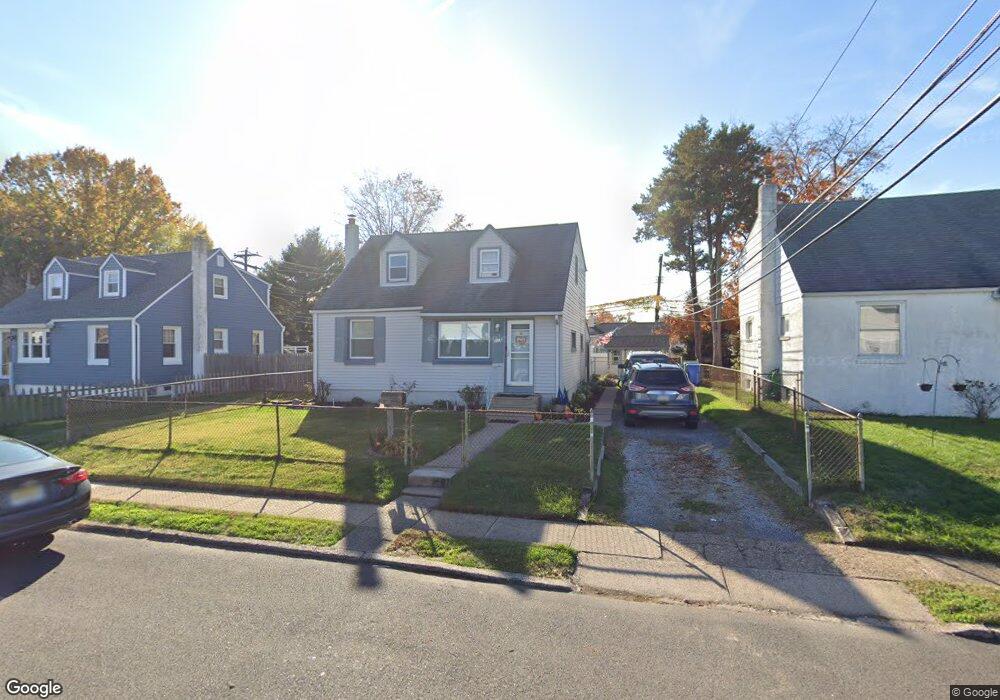
803 Snowden Ave Bristol, PA 19007
Estimated Value: $281,686 - $340,000
--
Bed
2
Baths
1,294
Sq Ft
$245/Sq Ft
Est. Value
About This Home
This home is located at 803 Snowden Ave, Bristol, PA 19007 and is currently estimated at $316,422, approximately $244 per square foot. 803 Snowden Ave is a home located in Bucks County with nearby schools including Truman Senior High School, Doane Academy, and St. Mark Elementary School.
Ownership History
Date
Name
Owned For
Owner Type
Purchase Details
Closed on
Nov 29, 2012
Sold by
Woodford Barbara S
Bought by
Williams Mathew R
Current Estimated Value
Home Financials for this Owner
Home Financials are based on the most recent Mortgage that was taken out on this home.
Original Mortgage
$98,700
Outstanding Balance
$68,672
Interest Rate
3.46%
Mortgage Type
New Conventional
Estimated Equity
$247,750
Purchase Details
Closed on
Dec 2, 1966
Bought by
Woodford Robert E and Woodford Barbara S
Create a Home Valuation Report for This Property
The Home Valuation Report is an in-depth analysis detailing your home's value as well as a comparison with similar homes in the area
Home Values in the Area
Average Home Value in this Area
Purchase History
| Date | Buyer | Sale Price | Title Company |
|---|---|---|---|
| Williams Mathew R | $123,400 | None Available | |
| Woodford Robert E | -- | -- |
Source: Public Records
Mortgage History
| Date | Status | Borrower | Loan Amount |
|---|---|---|---|
| Open | Williams Mathew R | $98,700 |
Source: Public Records
Tax History Compared to Growth
Tax History
| Year | Tax Paid | Tax Assessment Tax Assessment Total Assessment is a certain percentage of the fair market value that is determined by local assessors to be the total taxable value of land and additions on the property. | Land | Improvement |
|---|---|---|---|---|
| 2025 | $4,780 | $17,600 | $3,680 | $13,920 |
| 2024 | $4,780 | $17,600 | $3,680 | $13,920 |
| 2023 | $4,744 | $17,600 | $3,680 | $13,920 |
| 2022 | $4,744 | $17,600 | $3,680 | $13,920 |
| 2021 | $4,744 | $17,600 | $3,680 | $13,920 |
| 2020 | $4,744 | $17,600 | $3,680 | $13,920 |
| 2019 | $4,727 | $17,600 | $3,680 | $13,920 |
| 2018 | $4,651 | $17,600 | $3,680 | $13,920 |
| 2017 | $4,580 | $17,600 | $3,680 | $13,920 |
| 2016 | $4,580 | $17,600 | $3,680 | $13,920 |
| 2015 | $3,552 | $17,600 | $3,680 | $13,920 |
| 2014 | $3,552 | $17,600 | $3,680 | $13,920 |
Source: Public Records
Map
Nearby Homes
- 807 Arthur Ave
- 2915 Lawnton Ave
- 3303 Glenrose Ave
- 307 Western Ave
- 3517 Rockview Dr
- 2320 Dixon Ave
- 804 Winder Dr
- 1 McLevins Ct
- 1503 Moore St Unit 102
- 1012 Franklin Ave
- Burlington Plan at Silver Lake Reserve 55+
- 900 Tower Rd
- 2057 Garfield Ave
- 1050 Village Dr
- 204 Delhaas Cir
- 206 Delhaas Cir
- 210 Delhaas Cir
- 189 Delhaas Cir
- 191 Delhaas Cir
- 187 Delhaas Cir
- 805 Snowden Ave
- 801 Snowden Ave
- 807 Snowden Ave
- 802 Arthur Ave
- 800 Arthur Ave
- 3501 Dixon Ave
- 804 Arthur Ave
- 809 Snowden Ave
- 3500 Llanberis Ave
- 717 Snowden Ave
- 3503 Dixon Ave
- 806 Arthur Ave
- 811 Snowden Ave
- 3208 Dixon Ave
- 3505 Dixon Ave
- 3502 Llanberis Ave
- 715 Snowden Ave
- 3500 Dixon Ave
- 808 Arthur Ave
- 3504 Llanberis Ave