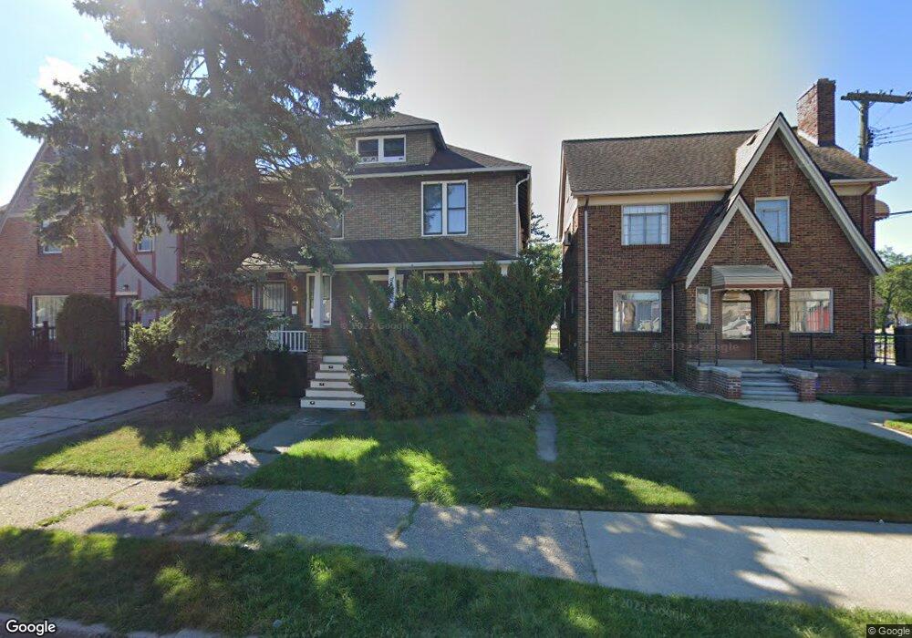
8030 Bliss St Unit Bldg-Unit Detroit, MI 48234
Nortown NeighborhoodEstimated Value: $66,000 - $129,000
--
Bed
2
Baths
2,269
Sq Ft
$45/Sq Ft
Est. Value
About This Home
This home is located at 8030 Bliss St Unit Bldg-Unit, Detroit, MI 48234 and is currently estimated at $103,015, approximately $45 per square foot. 8030 Bliss St Unit Bldg-Unit is a home located in Wayne County with nearby schools including Marion Law Academy, Edward 'Duke' Ellington Conservatory of Music and Art, and Charles L. Spain Elementary-Middle School.
Ownership History
Date
Name
Owned For
Owner Type
Purchase Details
Closed on
Jan 24, 2018
Sold by
Mcloughlin Patrick and Palland Donald W
Bought by
Perez Jamie
Current Estimated Value
Purchase Details
Closed on
Apr 30, 2010
Sold by
Orchard Company
Bought by
Mcloughlin Patrick
Purchase Details
Closed on
Mar 10, 2010
Sold by
Orchard Company Llc
Bought by
80 Bliss Llc
Create a Home Valuation Report for This Property
The Home Valuation Report is an in-depth analysis detailing your home's value as well as a comparison with similar homes in the area
Home Values in the Area
Average Home Value in this Area
Purchase History
| Date | Buyer | Sale Price | Title Company |
|---|---|---|---|
| Perez Jamie | $10,500 | None Available | |
| Mcloughlin Patrick | $25,000 | Embassy Title Agency Inc | |
| 80 Bliss Llc | -- | None Available |
Source: Public Records
Tax History Compared to Growth
Tax History
| Year | Tax Paid | Tax Assessment Tax Assessment Total Assessment is a certain percentage of the fair market value that is determined by local assessors to be the total taxable value of land and additions on the property. | Land | Improvement |
|---|---|---|---|---|
| 2025 | $906 | $32,200 | $0 | $0 |
| 2024 | $906 | $27,500 | $0 | $0 |
| 2023 | $1,125 | $22,400 | $0 | $0 |
| 2022 | $1,189 | $16,100 | $0 | $0 |
| 2021 | $1,161 | $12,700 | $0 | $0 |
| 2020 | $1,160 | $11,300 | $0 | $0 |
| 2019 | $1,145 | $9,100 | $0 | $0 |
| 2018 | $863 | $8,100 | $0 | $0 |
| 2017 | $126 | $7,600 | $0 | $0 |
| 2016 | $927 | $7,800 | $0 | $0 |
| 2015 | $780 | $7,800 | $0 | $0 |
| 2013 | $973 | $9,731 | $0 | $0 |
| 2010 | -- | $14,266 | $916 | $13,350 |
Source: Public Records
Map
Nearby Homes
- 8022 Yolanda St
- 8063 Yolanda St
- 19423 Spencer St
- 19126 Stotter St
- 19487 Spencer St
- 19466 Packard St
- 19363 Packard St
- 19674 Stotter St
- 19357 Packard St
- 8103 Sirron St
- 19440 Cliff St
- 19698 Packard St
- 19721 Spencer St
- 19340 Rogge St
- 19320 Rogge St
- 8291 E Brentwood St
- 19202 Rogge St
- 19190 Rogge St
- 8346 Sirron St
- 7483 E Brentwood St