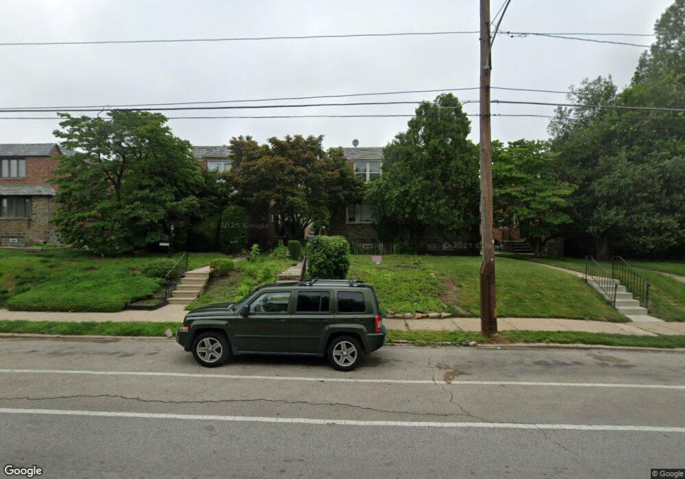
8031 Mansfield Ave Philadelphia, PA 19150
Cedarbrook NeighborhoodEstimated Value: $329,531 - $371,000
3
Beds
2
Baths
1,518
Sq Ft
$228/Sq Ft
Est. Value
About This Home
This home is located at 8031 Mansfield Ave, Philadelphia, PA 19150 and is currently estimated at $346,383, approximately $228 per square foot. 8031 Mansfield Ave is a home with nearby schools including Franklin S Edmonds School, Martin Luther King High School, and West Oak Lane Charter School.
Ownership History
Date
Name
Owned For
Owner Type
Purchase Details
Closed on
Apr 20, 2007
Sold by
Pollard Raymond and Pollard Martha
Bought by
Hackney Loren
Current Estimated Value
Home Financials for this Owner
Home Financials are based on the most recent Mortgage that was taken out on this home.
Original Mortgage
$160,000
Outstanding Balance
$96,421
Interest Rate
6.18%
Mortgage Type
Purchase Money Mortgage
Estimated Equity
$249,962
Purchase Details
Closed on
Nov 21, 2002
Sold by
Pollard Raymond and Estate Of Algie Pollard Butler
Bought by
Pollard Raymond and Pollard Martha
Create a Home Valuation Report for This Property
The Home Valuation Report is an in-depth analysis detailing your home's value as well as a comparison with similar homes in the area
Home Values in the Area
Average Home Value in this Area
Purchase History
| Date | Buyer | Sale Price | Title Company |
|---|---|---|---|
| Hackney Loren | $200,000 | None Available | |
| Pollard Raymond | -- | -- |
Source: Public Records
Mortgage History
| Date | Status | Borrower | Loan Amount |
|---|---|---|---|
| Open | Hackney Loren | $160,000 |
Source: Public Records
Tax History Compared to Growth
Tax History
| Year | Tax Paid | Tax Assessment Tax Assessment Total Assessment is a certain percentage of the fair market value that is determined by local assessors to be the total taxable value of land and additions on the property. | Land | Improvement |
|---|---|---|---|---|
| 2026 | $3,199 | $272,400 | $54,480 | $217,920 |
| 2025 | $3,199 | $272,400 | $54,480 | $217,920 |
| 2024 | $3,199 | $272,400 | $54,480 | $217,920 |
| 2023 | $3,199 | $228,500 | $45,700 | $182,800 |
| 2022 | $2,389 | $228,500 | $45,700 | $182,800 |
| 2021 | $2,389 | $0 | $0 | $0 |
| 2020 | $2,389 | $0 | $0 | $0 |
| 2019 | $2,494 | $0 | $0 | $0 |
| 2018 | $2,424 | $0 | $0 | $0 |
| 2017 | $2,424 | $0 | $0 | $0 |
| 2016 | $2,424 | $0 | $0 | $0 |
| 2015 | $2,321 | $0 | $0 | $0 |
| 2014 | -- | $173,200 | $44,207 | $128,993 |
| 2012 | -- | $27,520 | $3,557 | $23,963 |
Source: Public Records
Map
Nearby Homes
- 937 E Gorgas Ln
- 8038 Lowber Ave
- 932 E Ellet St
- 1038 E Mount Pleasant Ave
- 933 E Slocum St
- 1007 Dorset St
- 1148 E Slocum St
- 1151 E Dorset St
- 1167 E Dorset St
- 1122 E Phil Ellena St
- 1159 E Hortter St
- 8004 Gilbert St
- 725 E Vernon Rd
- 1107 E Sharpnack St
- 506 E Gorgas Ln
- 8309 Lynnewood Rd
- 940 E Allens Ln
- 802 E Phil Ellena St
- 715 E Dorset St
- 1300 E Gorgas Ln
- 8029 Mansfield Ave
- 8033 Mansfield Ave
- 8027 Mansfield Ave
- 8035 Mansfield Ave
- 8025 Mansfield Ave
- 8037 Mansfield Ave
- 8023 Mansfield Ave
- 8039 Mansfield Ave
- 8021 Mansfield Ave
- 8030 Rodney St
- 8028 Rodney St
- 8032 Rodney St
- 8034 Rodney St
- 8026 Rodney St
- 8041 Mansfield Ave
- 8036 Rodney St
- 8024 Rodney St
- 8038 Rodney St
- 8043 Mansfield Ave
- 8022 Rodney St