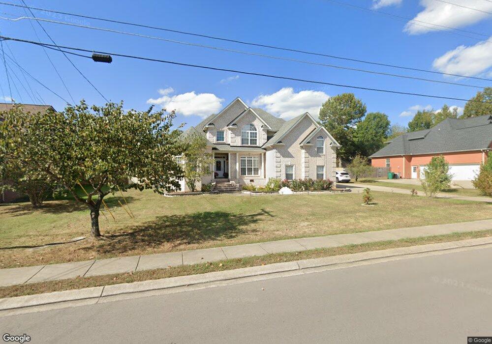
8033 Vineyard Ln La Vergne, TN 37086
Estimated Value: $505,000 - $579,000
--
Bed
--
Bath
2,733
Sq Ft
$197/Sq Ft
Est. Value
About This Home
This home is located at 8033 Vineyard Ln, La Vergne, TN 37086 and is currently estimated at $538,367, approximately $196 per square foot. 8033 Vineyard Ln is a home located in Rutherford County with nearby schools including Rock Springs Elementary School, Rock Springs Middle School, and Stewarts Creek High School.
Ownership History
Date
Name
Owned For
Owner Type
Purchase Details
Closed on
Mar 24, 2021
Sold by
Bui Thuthao Thi
Bought by
Do Richard H and Doan Trang
Current Estimated Value
Purchase Details
Closed on
Feb 1, 2012
Sold by
Pham Phong
Bought by
Bui Thuthao Thi
Purchase Details
Closed on
May 13, 2008
Sold by
Donnie Bledsoe
Bought by
Pham Phong Etux Thuthao Thi Bh
Home Financials for this Owner
Home Financials are based on the most recent Mortgage that was taken out on this home.
Original Mortgage
$269,910
Interest Rate
5.86%
Mortgage Type
Purchase Money Mortgage
Create a Home Valuation Report for This Property
The Home Valuation Report is an in-depth analysis detailing your home's value as well as a comparison with similar homes in the area
Home Values in the Area
Average Home Value in this Area
Purchase History
| Date | Buyer | Sale Price | Title Company |
|---|---|---|---|
| Do Richard H | $400,000 | None Available | |
| Bui Thuthao Thi | -- | None Available | |
| Pham Phong Etux Thuthao Thi Bh | $299,900 | -- |
Source: Public Records
Mortgage History
| Date | Status | Borrower | Loan Amount |
|---|---|---|---|
| Previous Owner | Pham Phong Etux Thuthao Thi Bh | $269,910 |
Source: Public Records
Tax History Compared to Growth
Tax History
| Year | Tax Paid | Tax Assessment Tax Assessment Total Assessment is a certain percentage of the fair market value that is determined by local assessors to be the total taxable value of land and additions on the property. | Land | Improvement |
|---|---|---|---|---|
| 2025 | $2,856 | $118,400 | $16,250 | $102,150 |
| 2024 | $2,856 | $118,400 | $16,250 | $102,150 |
| 2023 | $2,221 | $118,400 | $16,250 | $102,150 |
| 2022 | $1,914 | $118,400 | $16,250 | $102,150 |
| 2021 | $2,012 | $90,650 | $16,250 | $74,400 |
| 2020 | $2,012 | $90,650 | $16,250 | $74,400 |
| 2019 | $2,012 | $90,650 | $16,250 | $74,400 |
Source: Public Records
Map
Nearby Homes
- 8039 Burntwood Dr
- 1011 Lily Ann Ct
- 9005 Phoenix Ct
- 8054 Vineyard Ln
- 11012 Sligo Ct
- STONEBROOK II Plan at Pottsview
- MILFORD A Plan at Pottsview
- HAYDEN Plan at Pottsview
- SALEM Plan at Pottsview
- 114 Portico Place
- 120 Portico Place
- 120 Portico Place
- 5024 Mary Ellen Cir
- 106 Portico Place
- 262 Cornice Dr
- 159 Snowdrop Ave
- 211 Cornice Dr
- 211 Cornice Dr
- 6009 Inglenook Dr
- 323 Casita Dr
- 8031 Vineyard Ln
- 8035 Vineyard Ln
- 8032 Burntwood Dr
- 8030 Burntwood Dr
- 2001 Emma Kate Ct
- 8034 Burntwood Dr
- 8029 Vineyard Ln
- 8037 Vineyard Ln
- 8034 Vineyard Ln
- 8028 Burntwood Dr
- 8036 Burntwood Dr
- 2005 Emma Kate Ct
- 2000 Emma Kate Ct
- 8039 Vineyard Ln
- 8027 Vineyard Ln
- 8026 Burntwood Dr
- 6494 John Sams Ct
- 6000 Quincy Ct
- 8038 Burntwood Dr
- 5001 Monaco Dr