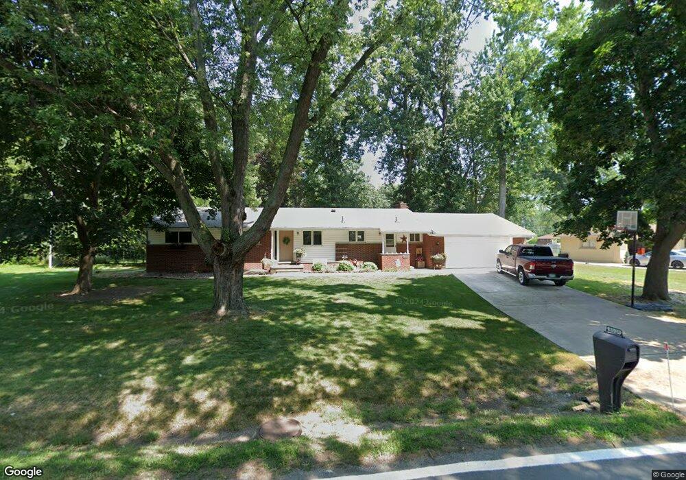
8034 Church Rd Unit Bldg-Unit Grosse Ile, MI 48138
Estimated Value: $298,000 - $352,000
--
Bed
2
Baths
1,774
Sq Ft
$190/Sq Ft
Est. Value
About This Home
This home is located at 8034 Church Rd Unit Bldg-Unit, Grosse Ile, MI 48138 and is currently estimated at $337,508, approximately $190 per square foot. 8034 Church Rd Unit Bldg-Unit is a home located in Wayne County with nearby schools including St. Cyprian Elementary School.
Ownership History
Date
Name
Owned For
Owner Type
Purchase Details
Closed on
May 30, 2018
Sold by
Reynolds Brock Karen and Reynolds Brock James
Bought by
Farino Anthony Leon
Current Estimated Value
Create a Home Valuation Report for This Property
The Home Valuation Report is an in-depth analysis detailing your home's value as well as a comparison with similar homes in the area
Home Values in the Area
Average Home Value in this Area
Purchase History
| Date | Buyer | Sale Price | Title Company |
|---|---|---|---|
| Farino Anthony Leon | $220,000 | Michigan Title Ins Agacy Inc |
Source: Public Records
Tax History Compared to Growth
Tax History
| Year | Tax Paid | Tax Assessment Tax Assessment Total Assessment is a certain percentage of the fair market value that is determined by local assessors to be the total taxable value of land and additions on the property. | Land | Improvement |
|---|---|---|---|---|
| 2025 | $1,777 | $145,800 | $0 | $0 |
| 2024 | $1,777 | $135,700 | $0 | $0 |
| 2023 | $2,033 | $124,600 | $0 | $0 |
| 2022 | $4,732 | $114,500 | $0 | $0 |
| 2021 | $4,526 | $112,800 | $0 | $0 |
| 2019 | $4,489 | $99,400 | $0 | $0 |
| 2018 | $1,764 | $98,300 | $0 | $0 |
| 2017 | $4,556 | $95,000 | $0 | $0 |
| 2016 | $4,031 | $94,600 | $0 | $0 |
| 2015 | $8,585 | $87,200 | $0 | $0 |
| 2013 | $8,440 | $85,900 | $0 | $0 |
| 2012 | $1,786 | $83,200 | $28,200 | $55,000 |
Source: Public Records
Map
Nearby Homes
- 21599 Parke Ln
- 21321 Knudsen Dr
- 21604 E River Rd
- 21071 Thorofare Rd
- 21644 Knudsen Dr
- 22015 Ember Ct
- 22220 E River Rd
- 7806 Island Blvd
- 8232 Island Blvd
- 21438 Meridian Rd
- 21819 Meridian Rd
- 8614 Island Blvd
- 22133 Meridian Rd
- 9447 Whitall Ln
- 9281 Island Dr
- 0 West River Unit 20250008619
- 9000 Ferry Rd
- 8855 Ferry Rd
- Lot 503 Gi Pkwy
- 00000 Magnolia Ln
- 8034 Church Rd
- 8058 Church Rd
- 7978 Church Rd
- 7985 Coventry Ave
- 8033 Coventry Ave
- 7960 Church Rd
- 21441 Canterbury Ave
- 21509 Canterbury Ave
- 7961 Coventry Ave
- 8055 Coventry Ave
- 7977 Church Rd
- 7993 Church Rd
- 21525 Canterbury Ave
- 8006 Coventry Ave
- 8015 Church Rd
- 7950 Church Rd
- 8030 Coventry Ave
- 7982 Coventry Ave
- 7957 Church Rd
- 7937 Coventry Ave