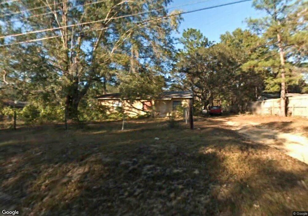
8038 Baby Farm Rd N Tallahassee, FL 32310
Estimated Value: $165,000 - $254,532
3
Beds
1
Bath
4,000
Sq Ft
$54/Sq Ft
Est. Value
About This Home
This home is located at 8038 Baby Farm Rd N, Tallahassee, FL 32310 and is currently estimated at $215,133, approximately $53 per square foot. 8038 Baby Farm Rd N is a home located in Leon County with nearby schools including Fort Braden School and Amos P. Godby High School.
Ownership History
Date
Name
Owned For
Owner Type
Purchase Details
Closed on
May 13, 2024
Sold by
Herron Steel Company Inc
Bought by
Baby Farm Land Trust and Recreational Land Group Llc
Current Estimated Value
Home Financials for this Owner
Home Financials are based on the most recent Mortgage that was taken out on this home.
Original Mortgage
$65,000
Outstanding Balance
$62,580
Interest Rate
1.2%
Mortgage Type
Seller Take Back
Estimated Equity
$152,553
Create a Home Valuation Report for This Property
The Home Valuation Report is an in-depth analysis detailing your home's value as well as a comparison with similar homes in the area
Home Values in the Area
Average Home Value in this Area
Purchase History
| Date | Buyer | Sale Price | Title Company |
|---|---|---|---|
| Baby Farm Land Trust | $90,000 | None Listed On Document | |
| Baby Farm Land Trust | $90,000 | None Listed On Document |
Source: Public Records
Mortgage History
| Date | Status | Borrower | Loan Amount |
|---|---|---|---|
| Open | Baby Farm Land Trust | $65,000 | |
| Closed | Baby Farm Land Trust | $65,000 |
Source: Public Records
Tax History Compared to Growth
Tax History
| Year | Tax Paid | Tax Assessment Tax Assessment Total Assessment is a certain percentage of the fair market value that is determined by local assessors to be the total taxable value of land and additions on the property. | Land | Improvement |
|---|---|---|---|---|
| 2024 | $3,941 | $236,804 | $38,000 | $198,804 |
| 2023 | $3,803 | $229,237 | $38,000 | $191,237 |
| 2022 | $3,429 | $204,110 | $28,500 | $175,610 |
| 2021 | $4,939 | $298,565 | $22,800 | $275,765 |
| 2020 | $4,588 | $280,648 | $22,800 | $257,848 |
| 2019 | $4,433 | $266,468 | $22,800 | $243,668 |
| 2018 | $4,305 | $254,958 | $22,800 | $232,158 |
| 2017 | $4,130 | $239,807 | $0 | $0 |
| 2016 | $4,091 | $233,016 | $0 | $0 |
| 2015 | $3,896 | $223,189 | $0 | $0 |
| 2014 | $3,896 | $213,363 | $0 | $0 |
Source: Public Records
Map
Nearby Homes
- 8032 Baby Farm Dr N
- 8084 Baby Farm Rd N
- 8401 Blountstown Hwy
- 2159 Silver Lake Rd
- 1016 Nature Trail Way
- 200 Francis Maples Dr
- xxx Parramore Shores Rd
- 541 Doctor Carolyn Ryals Way Unit 3
- 629 Saint Patrick Dr
- 6206 Blountstown Hwy
- 7674 Christy Cary Ln
- 6339 Aaronbrooke Ln
- 1037 Lacey Ln
- 1319 Late Sunset Way
- 1315 Late Sunset Way
- 1107 Fernwood Rd
- 362 Burks Ln
- 5490 & 5480 Jackson Bluff Rd
- 5500 Debbie Dr
- 1428 Westheaven Dr
- 8044 Baby Farm Dr N
- 8032 Baby Farm Dr N Unit 1
- 8043 Baby Farm Rd N
- 8052 Baby Farm Dr N
- 8120 Baby Farm Rd S
- 1668 Silver Lake Rd
- 8012 Silver Lake Ct
- 8012 Silver Lake Ct Unit o
- 8055 Baby Farm Dr N Unit 2
- 8055 Baby Farm Dr N Unit FARM
- 1628 Silver Lake Rd
- 8012 Baby Farm Rd
- S Baby Farm Rd Unit 1
- 8039 Baby Farm Ct S
- 1680 Silver Lake Rd
- 1584 Silver Lake Rd
- 8039 Earth Way
- 1832 Baby Farm Cir
- 1832 Baby Farm Cir Unit 1
- 8033 Baby Farm Ct