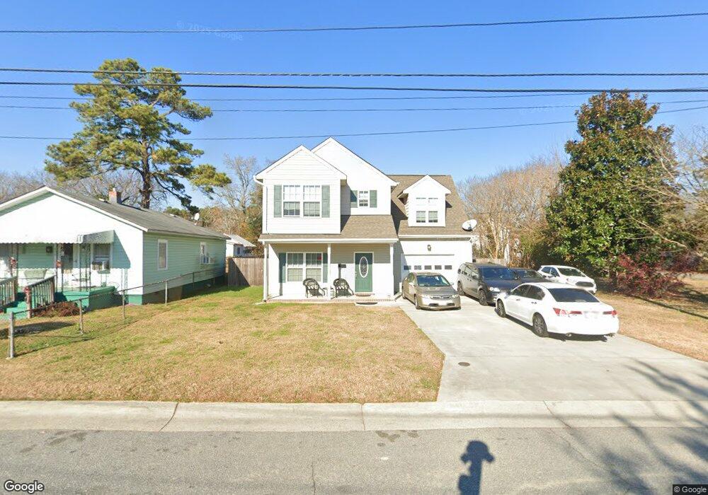
804 Brook Ave Suffolk, VA 23434
Holy Neck NeighborhoodEstimated Value: $319,000 - $333,000
4
Beds
3
Baths
1,800
Sq Ft
$181/Sq Ft
Est. Value
About This Home
This home is located at 804 Brook Ave, Suffolk, VA 23434 and is currently estimated at $325,365, approximately $180 per square foot. 804 Brook Ave is a home located in Suffolk City with nearby schools including Hillpoint Elementary School, Forest Glen Middle School, and Lakeland High School.
Ownership History
Date
Name
Owned For
Owner Type
Purchase Details
Closed on
Aug 17, 2015
Sold by
Durden James H and Anderson Troy G
Bought by
Pearson Eugenia D
Current Estimated Value
Home Financials for this Owner
Home Financials are based on the most recent Mortgage that was taken out on this home.
Original Mortgage
$176,739
Outstanding Balance
$136,498
Interest Rate
3.75%
Mortgage Type
FHA
Estimated Equity
$188,867
Purchase Details
Closed on
Jan 12, 2015
Sold by
Brooks Special Commissioner Clarence H and Riddick Louise
Bought by
Durden James H and Anderson Troy G
Create a Home Valuation Report for This Property
The Home Valuation Report is an in-depth analysis detailing your home's value as well as a comparison with similar homes in the area
Home Values in the Area
Average Home Value in this Area
Purchase History
| Date | Buyer | Sale Price | Title Company |
|---|---|---|---|
| Pearson Eugenia D | $180,000 | Attorney | |
| Durden James H | -- | -- |
Source: Public Records
Mortgage History
| Date | Status | Borrower | Loan Amount |
|---|---|---|---|
| Open | Pearson Eugenia D | $176,739 |
Source: Public Records
Tax History
| Year | Tax Paid | Tax Assessment Tax Assessment Total Assessment is a certain percentage of the fair market value that is determined by local assessors to be the total taxable value of land and additions on the property. | Land | Improvement |
|---|---|---|---|---|
| 2025 | $3,709 | $304,600 | $46,100 | $258,500 |
| 2024 | $3,709 | $294,200 | $46,100 | $248,100 |
| 2023 | $3,541 | $281,300 | $43,900 | $237,400 |
| 2022 | $2,560 | $234,900 | $31,300 | $203,600 |
| 2021 | $2,250 | $202,700 | $25,100 | $177,600 |
| 2020 | $2,158 | $194,400 | $22,800 | $171,600 |
| 2019 | $2,028 | $182,700 | $22,800 | $159,900 |
| 2018 | $1,600 | $182,700 | $22,800 | $159,900 |
| 2017 | $1,828 | $170,800 | $22,800 | $148,000 |
| 2016 | $1,701 | $159,000 | $22,800 | $136,200 |
| 2015 | $111 | $109,500 | $22,800 | $86,700 |
| 2014 | $111 | $22,800 | $22,800 | $0 |
Source: Public Records
Map
Nearby Homes
- 812 Battery Ave
- 814 Battery Ave
- 731 Brook Ave
- 729 Brook Ave
- 727 Brook Ave
- 721 Ashley Ave Unit A
- 711 Brook Ave
- 608 Battery Ave
- 532 Battery Ave
- 603 Mason Ave
- 435 Wellons St
- 441 Wellons St
- 439 Wellons St
- 437 Wellons St
- 433 Wellons St
- 314 Linden Ave
- 309 Linden Ave
- 207 Causey Ave
- 212 Saint James Ave
- 921 Howard Place
Your Personal Tour Guide
Ask me questions while you tour the home.