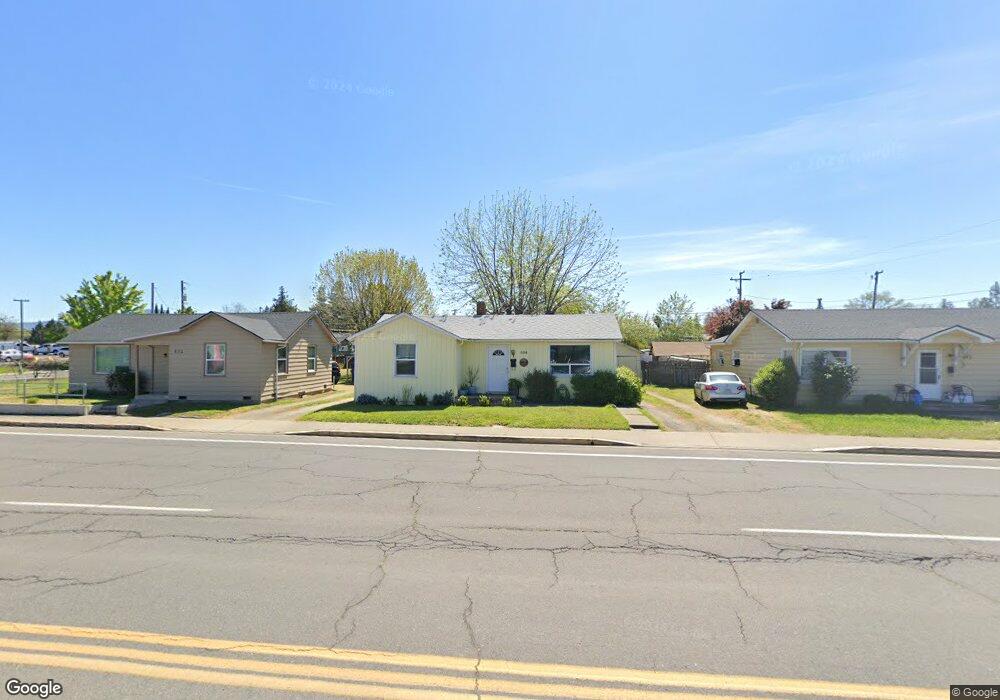
804 E Pine St Central Point, OR 97502
Estimated Value: $179,182 - $375,000
Studio
--
Bath
792
Sq Ft
$382/Sq Ft
Est. Value
About This Home
This home is located at 804 E Pine St, Central Point, OR 97502 and is currently estimated at $302,727, approximately $382 per square foot. 804 E Pine St is a home located in Jackson County with nearby schools including Central Point Elementary School, Scenic Middle School, and Crater High School.
Ownership History
Date
Name
Owned For
Owner Type
Purchase Details
Closed on
Mar 29, 2018
Sold by
Hansen Family Investors Llc
Bought by
Paul And Linda Hansen Revocable Trust and Hansen
Current Estimated Value
Purchase Details
Closed on
Mar 22, 2018
Sold by
Hansen Family Investors Llc
Bought by
Hansen Randolph Paul and Hansen Linda Jane
Purchase Details
Closed on
May 17, 2012
Sold by
Turner Kathie R and Ubben Margaret A
Bought by
Hansen Family Investors Llc
Create a Home Valuation Report for This Property
The Home Valuation Report is an in-depth analysis detailing your home's value as well as a comparison with similar homes in the area
Purchase History
| Date | Buyer | Sale Price | Title Company |
|---|---|---|---|
| Paul And Linda Hansen Revocable Trust | $165,000 | First American Title | |
| Hansen Randolph Paul | $165,000 | First American Title | |
| Hansen Family Investors Llc | -- | None Available |
Source: Public Records
Tax History
| Year | Tax Paid | Tax Assessment Tax Assessment Total Assessment is a certain percentage of the fair market value that is determined by local assessors to be the total taxable value of land and additions on the property. | Land | Improvement |
|---|---|---|---|---|
| 2026 | $1,527 | $92,290 | -- | -- |
| 2025 | $1,432 | $89,150 | $78,540 | $10,610 |
| 2024 | $1,432 | $87,000 | $77,760 | $9,240 |
| 2023 | $1,442 | $84,470 | $75,500 | $8,970 |
| 2022 | $1,399 | $84,470 | $75,500 | $8,970 |
| 2021 | $1,352 | $82,010 | $73,300 | $8,710 |
| 2020 | $1,163 | $71,330 | $62,840 | $8,490 |
| 2019 | $1,169 | $71,330 | $62,840 | $8,490 |
| 2018 | $1,168 | $66,050 | $58,180 | $7,870 |
| 2017 | $1,082 | $66,050 | $58,180 | $7,870 |
| 2016 | $1,029 | $63,490 | $55,930 | $7,560 |
| 2015 | $1,247 | $68,940 | $60,730 | $8,210 |
| 2014 | $1,264 | $77,320 | $69,110 | $8,210 |
Source: Public Records
Map
Nearby Homes
- 140 N 8th St
- 144 N 5th St
- 731 Maple St
- 331 N 8th St
- 350 Alder St
- 348 N 6th St
- 220 S 3rd St
- 833 Hazel St
- 301 Freeman Rd Unit 30
- 301 Freeman Rd Unit 92
- 301 Freeman Rd Unit 91
- 555 Freeman Rd Unit 73
- 555 Freeman Rd Unit 254
- 555 Freeman Rd Unit 105
- 555 Freeman Rd Unit 209
- 342 Hazel St
- 114 Cedar St
- 55 Crater Ln
- 230 Peninger Rd
- 0 Peninger Rd
Your Personal Tour Guide
Ask me questions while you tour the home.