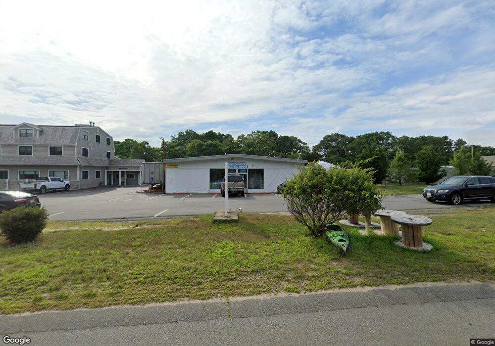
804 Macarthur Blvd Pocasset, MA 2559
Pocasset Neighborhood
--
Bed
--
Bath
5,800
Sq Ft
0.48
Acres
About This Home
This home is located at 804 Macarthur Blvd, Pocasset, MA 2559. 804 Macarthur Blvd is a home located in Barnstable County with nearby schools including Bourne High School, Cadence Academy Preschool - Bourne, and St Margaret Regional School.
Ownership History
Date
Name
Owned For
Owner Type
Purchase Details
Closed on
Jul 25, 2022
Sold by
Mckeen Arthur J
Bought by
Mckeen Arthur J and Marquebreuck Mary P
Purchase Details
Closed on
Nov 3, 1993
Sold by
Mckeen Claire F
Bought by
Mckeen Arthur J
Home Financials for this Owner
Home Financials are based on the most recent Mortgage that was taken out on this home.
Original Mortgage
$250,000
Interest Rate
6.83%
Mortgage Type
Commercial
Create a Home Valuation Report for This Property
The Home Valuation Report is an in-depth analysis detailing your home's value as well as a comparison with similar homes in the area
Home Values in the Area
Average Home Value in this Area
Purchase History
| Date | Buyer | Sale Price | Title Company |
|---|---|---|---|
| Mckeen Arthur J | -- | None Available | |
| Mckeen Arthur J | -- | None Available | |
| Mckeen Arthur J | $240,000 | -- | |
| Mckeen Arthur J | $240,000 | -- |
Source: Public Records
Mortgage History
| Date | Status | Borrower | Loan Amount |
|---|---|---|---|
| Previous Owner | Mckeen Arthur J | $250,000 |
Source: Public Records
Tax History Compared to Growth
Tax History
| Year | Tax Paid | Tax Assessment Tax Assessment Total Assessment is a certain percentage of the fair market value that is determined by local assessors to be the total taxable value of land and additions on the property. | Land | Improvement |
|---|---|---|---|---|
| 2025 | $4,539 | $581,200 | $440,300 | $140,900 |
| 2024 | $4,438 | $553,400 | $419,300 | $134,100 |
| 2023 | $4,598 | $521,900 | $403,200 | $118,700 |
| 2022 | $4,887 | $484,300 | $379,100 | $105,200 |
| 2021 | $5,059 | $469,700 | $368,000 | $101,700 |
| 2020 | $4,951 | $461,000 | $360,800 | $100,200 |
| 2019 | $4,736 | $450,600 | $353,700 | $96,900 |
| 2018 | $4,560 | $432,600 | $340,100 | $92,500 |
| 2017 | $4,353 | $422,600 | $336,700 | $85,900 |
| 2016 | $4,307 | $423,900 | $336,700 | $87,200 |
| 2015 | $4,269 | $423,900 | $336,700 | $87,200 |
Source: Public Records
Map
Nearby Homes
- 7 4th Ave
- 940 County Rd
- 7 Portside Dr
- 15 1st St
- 174 Barlows Landing Rd
- 940 County Rd
- 709 County Rd
- 254 Barlows Landing Rd
- 1094 County Rd
- 3 Red Brook Pond Dr
- 39 Bennets Neck Dr
- 48 Red Brook Harbor Rd
- 1234 Route 28a
- 22 Nairn Rd
- 1234 Route 28a
- 171 Bellavista Dr
- 515 County Rd
- 14 Navajo Rd
- 16 Tara Terrace
- 501 County Rd
- 802 Macarthur Blvd
- 802 Macarthur Blvd Unit 301
- 802 Macarthur Blvd Unit 205
- 39 Handy Rd
- 33 Handy Rd
- 43 Handy Rd
- 808 Macarthur Blvd
- 808 Mac Arthur Blvd
- 790 Macarthur Blvd
- 790 Mac Arthur Blvd
- 31 Handy Rd
- 61 Lake Dr
- 57 Lake Dr
- 65 Lake Dr
- 15 Dockser Ave
- 810 Macarthur Blvd
- 53 Lake Dr
- 23 Handy Rd
- 69 Lake Dr
- 49 Lake Dr