804 Maple Brook Rd Bellingham, MA 02019
Estimated Value: $383,254 - $521,000
2
Beds
2
Baths
1,278
Sq Ft
$338/Sq Ft
Est. Value
About This Home
This home is located at 804 Maple Brook Rd, Bellingham, MA 02019 and is currently estimated at $432,314, approximately $338 per square foot. 804 Maple Brook Rd is a home located in Norfolk County with nearby schools including Stall Brook Elementary School, Bellingham High School, and Bethany Christian Academy.
Ownership History
Date
Name
Owned For
Owner Type
Purchase Details
Closed on
Aug 14, 1998
Sold by
Ellis Barbara
Bought by
Swartz Phyllis G
Current Estimated Value
Home Financials for this Owner
Home Financials are based on the most recent Mortgage that was taken out on this home.
Original Mortgage
$32,000
Outstanding Balance
$6,687
Interest Rate
6.94%
Mortgage Type
Purchase Money Mortgage
Estimated Equity
$425,627
Create a Home Valuation Report for This Property
The Home Valuation Report is an in-depth analysis detailing your home's value as well as a comparison with similar homes in the area
Home Values in the Area
Average Home Value in this Area
Purchase History
| Date | Buyer | Sale Price | Title Company |
|---|---|---|---|
| Swartz Phyllis G | $111,250 | -- |
Source: Public Records
Mortgage History
| Date | Status | Borrower | Loan Amount |
|---|---|---|---|
| Open | Swartz Phyllis G | $32,000 | |
| Previous Owner | Swartz Phyllis G | $90,000 |
Source: Public Records
Tax History
| Year | Tax Paid | Tax Assessment Tax Assessment Total Assessment is a certain percentage of the fair market value that is determined by local assessors to be the total taxable value of land and additions on the property. | Land | Improvement |
|---|---|---|---|---|
| 2025 | $3,814 | $303,700 | $0 | $303,700 |
| 2024 | $3,799 | $295,400 | $0 | $295,400 |
| 2023 | $3,603 | $276,100 | $0 | $276,100 |
| 2022 | $3,458 | $245,600 | $0 | $245,600 |
| 2021 | $3,419 | $237,300 | $0 | $237,300 |
| 2020 | $3,200 | $225,000 | $0 | $225,000 |
| 2019 | $3,024 | $212,800 | $0 | $212,800 |
| 2018 | $2,968 | $206,000 | $0 | $206,000 |
| 2017 | $2,865 | $199,800 | $0 | $199,800 |
| 2016 | $2,638 | $184,600 | $0 | $184,600 |
| 2015 | $2,631 | $184,600 | $0 | $184,600 |
| 2014 | $2,677 | $182,600 | $0 | $182,600 |
Source: Public Records
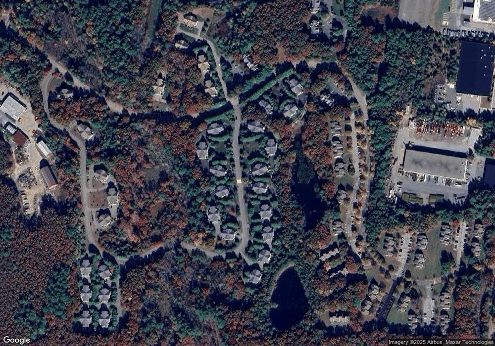
Map
Nearby Homes
- 1303 Old Bridge Ln Unit 1303
- 67 Blackstone St
- 7 Palmetto Dr Unit 7
- 125 Blackstone St
- 19 Geordan Ave
- 33 Lakeview Ave
- 34 Bellwood Cir Unit 34
- 1 Evergreen Dr Unit 1
- 23 Bellwood Cir Unit 23
- 5 Stone Ridge Rd
- 38 Conlyn Ave
- 834-836 W Central St
- 214 Conlyn Ave
- 123-125 Mendon St
- 0 North St Unit 73440626
- 1 Bubbling Brook Rd
- 8 Riverstone Way
- 25 Brookview Rd
- 352 Lake St
- 17 Susan Ln
- 808 Maple Brook Rd
- 806 Maple Brook Rd
- 802 Maple Brook Rd
- 804 Maple Brook Rd Unit 804,18
- 818 Maple Brook Rd
- 816 Maple Brook Rd
- 814 Maple Brook Rd
- 812 Maple Brook Rd
- 810 Maple Brook Rd
- 812 Maple Brook Rd Unit 812
- 814 Maple Brook Rd Unit 814
- 812 Maple Brook Rd Unit 812,19
- 640 Maple Brook Rd
- 638 Maple Brook Rd
- 636 Maple Brook Rd
- 634 Maple Brook Rd
- 638 Maple Brook Rd Unit 638
- 826 Maple Brook Rd
- 824 Maple Brook Rd
- 822 Maple Brook Rd