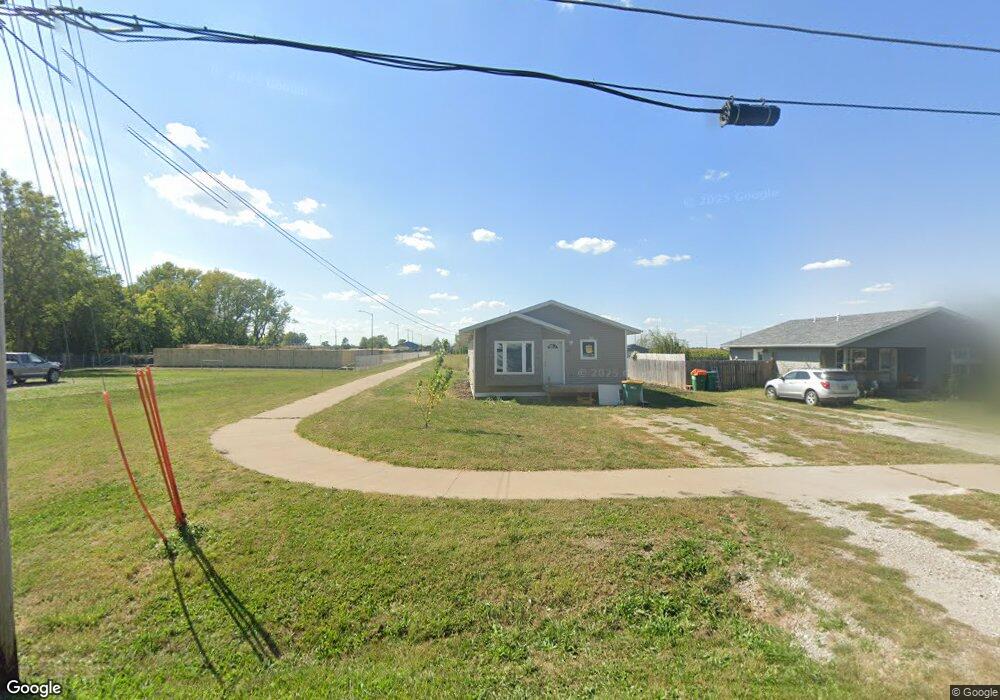
804 N 12th St Fairfield, IA 52556
Estimated Value: $168,000 - $218,584
--
Bed
2
Baths
1,209
Sq Ft
$154/Sq Ft
Est. Value
About This Home
This home is located at 804 N 12th St, Fairfield, IA 52556 and is currently estimated at $186,646, approximately $154 per square foot. 804 N 12th St is a home with nearby schools including Fairfield High School, Maharishi School, and Cornerstone Primary School.
Ownership History
Date
Name
Owned For
Owner Type
Purchase Details
Closed on
Aug 20, 2024
Sold by
Greater Fairfield Area Habitat For Human
Bought by
Greater Fairfield Area Habitat For Humanity
Current Estimated Value
Purchase Details
Closed on
Aug 19, 2021
Sold by
Greater Fairfield Area Habitat For Human
Bought by
Haynes David Lee
Home Financials for this Owner
Home Financials are based on the most recent Mortgage that was taken out on this home.
Original Mortgage
$125,000
Interest Rate
2.86%
Create a Home Valuation Report for This Property
The Home Valuation Report is an in-depth analysis detailing your home's value as well as a comparison with similar homes in the area
Home Values in the Area
Average Home Value in this Area
Purchase History
| Date | Buyer | Sale Price | Title Company |
|---|---|---|---|
| Greater Fairfield Area Habitat For Humanity | $129,534 | None Listed On Document | |
| Haynes David Lee | $135,000 | None Available |
Source: Public Records
Mortgage History
| Date | Status | Borrower | Loan Amount |
|---|---|---|---|
| Previous Owner | Haynes David Lee | $125,000 |
Source: Public Records
Tax History Compared to Growth
Tax History
| Year | Tax Paid | Tax Assessment Tax Assessment Total Assessment is a certain percentage of the fair market value that is determined by local assessors to be the total taxable value of land and additions on the property. | Land | Improvement |
|---|---|---|---|---|
| 2025 | $1,424 | $184,800 | $15,400 | $169,400 |
| 2024 | $1,424 | $84,000 | $15,400 | $68,600 |
| 2023 | $820 | $84,000 | $15,400 | $68,600 |
| 2022 | $820 | $48,500 | $15,400 | $33,100 |
| 2021 | $0 | $15,400 | $0 | $0 |
| 2020 | $0 | $15,400 | $0 | $0 |
| 2019 | $8 | $600 | $0 | $0 |
| 2018 | $8 | $600 | $0 | $0 |
| 2017 | $8 | $500 | $0 | $0 |
Source: Public Records
Map
Nearby Homes
- 808 N 12th St
- 1007 W Stone Ave
- 906 N 9th St
- 610 W Stone Ave
- 0 W Grimes Ave Unit NOC6329454
- 706 W Briggs Ave
- 1959 W Gear Ave
- 301 N 6th St
- 303 & 305 W Kirkwood Ave
- 504 N Main St
- 705 N Court St
- 505 W Jefferson Ave
- 602 W Jefferson Ave
- TBD Highway 1
- 201 E Kirkwood Ave
- 120 S Main St
- 105 W Adams Ave
- 207 W Jefferson Ave
- 304 E Kirkwood Ave
- 1000 N B St
- 800 N 12th St
- 806 N 12th St
- 807 N 12th St
- 801 N 12th St
- 1102 W Carpenter Ave
- 1105 W Spaulding Ave
- 1100 W Carpenter Ave
- 1103 W Spaulding Ave
- 1105 W Carpenter Ave
- 703 N 12th St
- 1101 W Spaulding Ave
- 1102 W Spaulding Ave
- 901 N 12th St
- 1006 W Carpenter Ave
- 1008 W Carpenter Ave
- 1007 W Spaulding Ave
- 903 N 12th St
- 1007 W Carpenter Ave
- 1005 W Spaulding Ave
- 1100 W Spaulding Ave