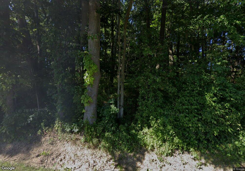
8045 Mcfadden Rd Shreve, OH 44676
Estimated Value: $407,000 - $764,773
2
Beds
2
Baths
1,596
Sq Ft
$391/Sq Ft
Est. Value
About This Home
This home is located at 8045 Mcfadden Rd, Shreve, OH 44676 and is currently estimated at $623,943, approximately $390 per square foot. 8045 Mcfadden Rd is a home located in Wayne County with nearby schools including West Holmes High School and Sunny Acres.
Ownership History
Date
Name
Owned For
Owner Type
Purchase Details
Closed on
Mar 29, 2024
Sold by
Mccune Scott A
Bought by
Mall Curtis B and Mall Debbie A
Current Estimated Value
Home Financials for this Owner
Home Financials are based on the most recent Mortgage that was taken out on this home.
Original Mortgage
$312,823
Interest Rate
7.1%
Mortgage Type
New Conventional
Purchase Details
Closed on
Jun 1, 2023
Sold by
Eric And Allyson Gray Family Trust
Bought by
Mccune Scott A
Purchase Details
Closed on
Apr 14, 2016
Sold by
Gray Eric D
Bought by
Gray Eric D and Gray Allyson R
Create a Home Valuation Report for This Property
The Home Valuation Report is an in-depth analysis detailing your home's value as well as a comparison with similar homes in the area
Home Values in the Area
Average Home Value in this Area
Purchase History
| Date | Buyer | Sale Price | Title Company |
|---|---|---|---|
| Mall Curtis B | $775,000 | Wayne County Title | |
| Mccune Scott A | $525,000 | Wayne County Title | |
| Mccune Scott A | $525,000 | Wayne County Title | |
| Gray Eric D | -- | Attorney |
Source: Public Records
Mortgage History
| Date | Status | Borrower | Loan Amount |
|---|---|---|---|
| Previous Owner | Mall Curtis B | $312,823 |
Source: Public Records
Tax History Compared to Growth
Tax History
| Year | Tax Paid | Tax Assessment Tax Assessment Total Assessment is a certain percentage of the fair market value that is determined by local assessors to be the total taxable value of land and additions on the property. | Land | Improvement |
|---|---|---|---|---|
| 2024 | $5,596 | $136,010 | $46,050 | $89,960 |
| 2023 | $5,596 | $136,010 | $46,050 | $89,960 |
| 2022 | $4,513 | $100,750 | $34,110 | $66,640 |
| 2021 | $4,658 | $100,750 | $34,110 | $66,640 |
| 2020 | $4,113 | $100,750 | $34,110 | $66,640 |
| 2019 | $3,420 | $82,030 | $24,680 | $57,350 |
| 2018 | $3,436 | $82,030 | $24,680 | $57,350 |
| 2017 | $3,423 | $82,030 | $24,680 | $57,350 |
| 2016 | $3,299 | $78,880 | $23,730 | $55,150 |
| 2015 | $3,271 | $78,880 | $23,730 | $55,150 |
| 2014 | $3,290 | $78,880 | $23,730 | $55,150 |
| 2013 | $3,289 | $76,960 | $26,020 | $50,940 |
Source: Public Records
Map
Nearby Homes
- 9139 County Road 51
- 7241 S Funk Rd
- 265 S Main St
- 261 N Main St
- 432 N Market St
- 236 Jones St
- 270 Church St
- 292 E Mcconkey St
- 283 E Wood St
- 286 E Robinson St
- 7869 County Road 51
- 10840 County Road 1
- 8070 County Road 318
- 110 S Elyria Rd
- 14602 Township Road 469
- 4220 S Elyria Rd
- 5001 S Jefferson Rd
- 14355 Township Road 467
- 7129 Township Road 466
- 12882 Ohio 39
- 8200 Mcfadden Rd
- 7741 Mcfadden Rd
- 8212 Mcfadden Rd
- 8344 Mcfadden Rd
- 9962 S Funk Rd
- 9999 S Funk Rd
- 10055 S Funk Rd
- 9933 S Funk Rd
- 9734 S Funk Rd
- 8091 Brown Rd
- 8025 Brown Rd
- 9825 S Funk Rd
- 9607 S Funk Rd
- 12621 Shreve Rd
- 7575 Brown Rd
- 12435 Shreve Rd
- 0 Ohio 226
- 8842 Mcfadden Rd
- 8921 Mcfadden Rd
- 8921 Mcfadden Rd
